Perry County Sheriff publishes checkpoint locations across major roadways
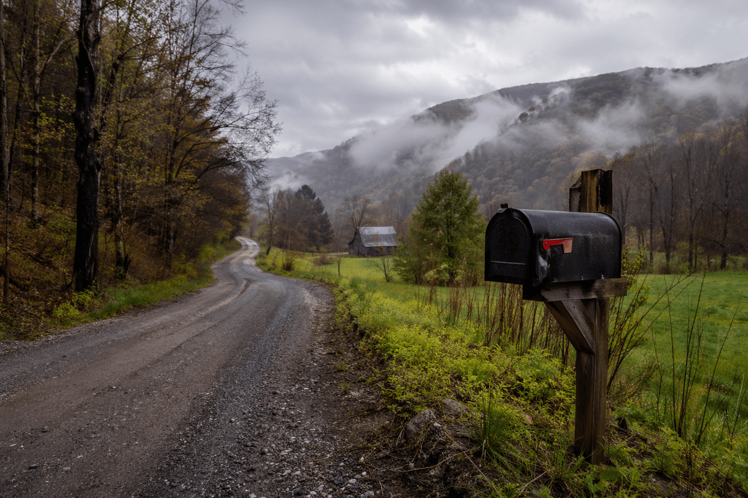
Perry County’s checkpoint map shows where traffic enforcement may land on the roads locals use most. From Grapevine to Buckhorn, the published locations can shape how drivers plan every trip.
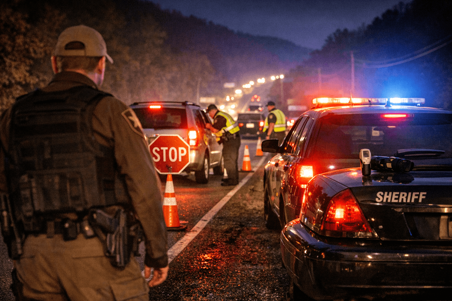
A drive from Grapevine to Buckhorn now comes with a clearer enforcement map than many Perry County motorists are used to seeing. The Perry County Sheriff’s Office has published where traffic-safety checkpoints may be set up, turning the county’s main corridors into known enforcement zones for drivers who need to think ahead about impairment, seat-belt compliance and the risk of a stop.
How the checkpoint map works
The sheriff’s office says it operates a traffic safety checkpoint program as part of a broader enforcement effort, and the published locations are the roads and junctions where officers may focus their work. That does not mean every site will be active on any given day, but it does mean the county has identified the places it believes are most useful for slowing dangerous driving and checking compliance on roads that carry a lot of local traffic.
In practical terms, the map is less a warning flare than an operational guide. It tells residents that enforcement in Perry County is organized, targeted and tied to specific roadway patterns rather than left to chance. That matters in a county where a handful of rural roads connect Hazard, Vicco, Buckhorn and smaller communities across winding terrain.
Where checkpoints may appear
The published list reaches across much of the county’s road network. Locations include KY 15 North at Grapevine, KY 28 near the gravel pit west of milepost 13.555, KY 267 at Dice, KY 476 at Homeplace Stretch in Ary, and KY 699 at the junction of KY 463.
Other sites on the list include George’s Branch Road about 500 feet off KY 15 South at Vicco, KY 80 west of milepost 4.378, the KY 2022 and KY 28 intersection in the Squabble Creek and Buckhorn area, and Perry County Park Road. The sheriff’s office also notes that there are several other locations used for safety operations.
For drivers, the list is important because it maps enforcement onto the roads people actually use to get to school, work, town and home. A route between Grapevine and Buckhorn is not an interstate-style commute with endless alternate options. In Perry County, a checkpoint at one point on the route can ripple across the day for anyone trying to move through the county efficiently and legally.
Why these roads matter to everyday travel
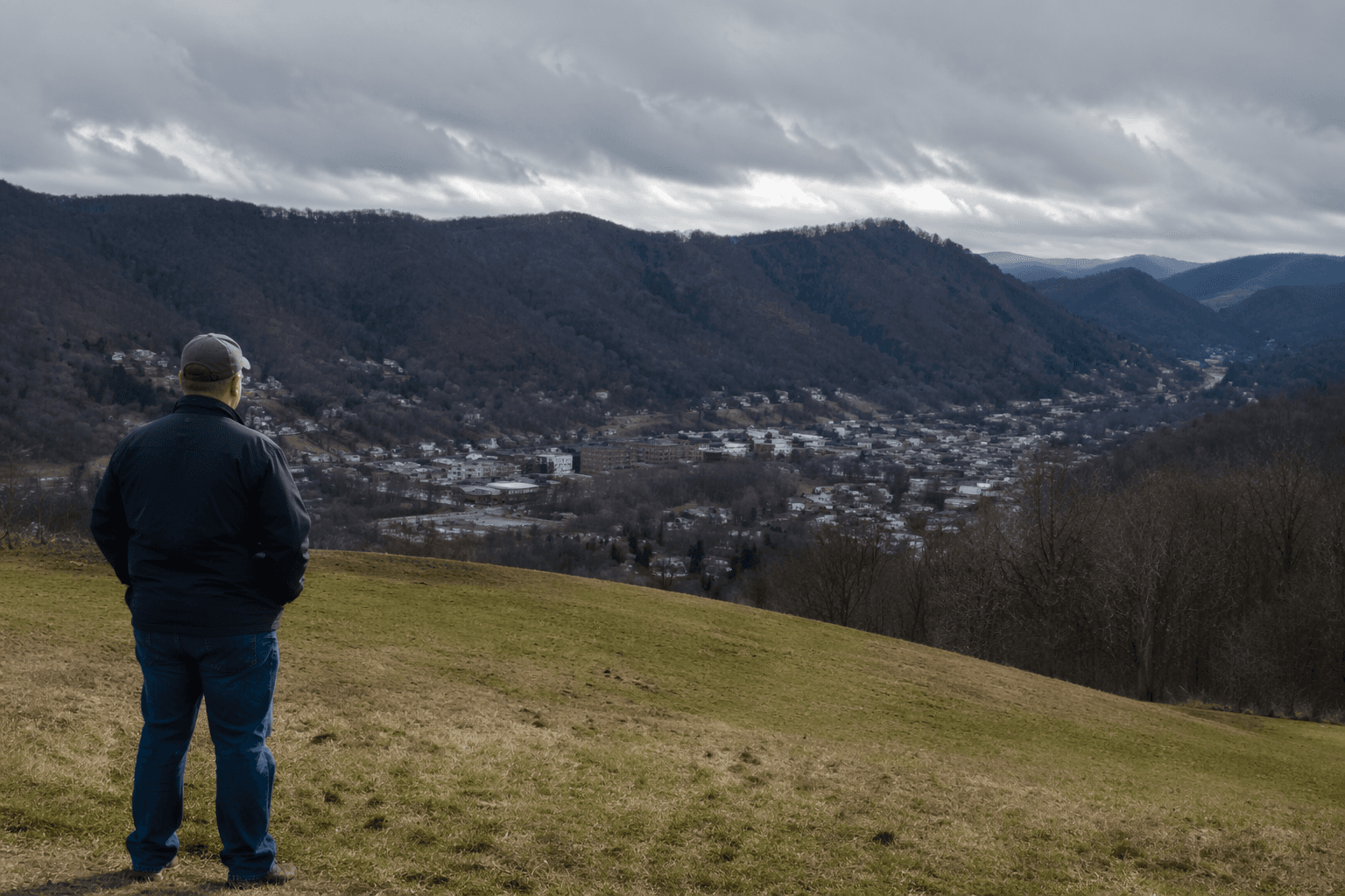
Perry County remains a small, largely rural county, with a 2025 estimated population of 26,555, down from 28,473 in the 2020 census. Hazard, the county seat and the sheriff’s office base, had an estimated population of 5,008 in 2024, while Vicco’s 2020 census population was 234. Those numbers help explain why traffic enforcement in the county can be so concentrated on a limited number of highways and connector roads.
When a county depends on a few main travel corridors, a checkpoint is not just another enforcement point. It can shape how residents schedule errands, choose routes and judge whether they have enough time to get from one side of the county to the other without delay. On a map like this, the roads themselves become part of the enforcement conversation.
What officials are trying to stop
Kentucky highway-safety officials describe traffic safety checkpoints as an evidence-based tool for identifying impaired drivers, enforcing traffic laws and promoting seat-belt use. The Kentucky Transportation Cabinet’s guide says properly conducted checkpoints can reduce alcohol-related crashes in a community by up to 20%.
That matters in a state where roadway deaths have not kept falling the way safety officials would like. Kentucky recorded 985 traffic-crash fatalities in 2005, 760 in 2010, 761 in 2015 and 780 in 2020. The state says that long-term decline has leveled off, leaving an average of more than two people a day still dying on Kentucky roads.
The checkpoint system sits inside a larger data-driven approach. The Kentucky Office of Highway Safety maintains fatality and seat-belt dashboards that can be queried by county or city, and statewide seat-belt observational surveys have been conducted every year since 1982. That makes checkpoint deployment part of a much bigger enforcement and measurement strategy, not a stand-alone roadside operation.
What drivers should take from the map
The most immediate lesson is that Perry County’s checkpoint enforcement is not random. If a driver regularly travels KY 15, KY 28, KY 80, KY 267, KY 476 or the other roads on the list, the county has already shown where it may decide to focus attention. That should push every trip toward the same basic standards: drive sober, wear a seat belt and stay in compliance with the traffic laws that apply on these roads.
It also changes how residents should think about day-to-day travel planning. A normal run to Hazard, a trip through Vicco, or a crossing near Buckhorn is not simply about distance and fuel. It now also involves the possibility that a routine route may become an enforcement point designed to slow traffic and check for dangerous behavior before it turns into a crash.
Where to reach the sheriff’s office
The Perry County Sheriff’s Office lists its office at 124 East Main Street, P.O. Box 7309, Hazard, KY 41701. The office phone number is (606) 439-4523 and the fax number is (606) 436-4970. Regular business hours are Monday through Friday from 8 a.m. to 4 p.m., excluding holidays.
Those contact details give residents a direct route for questions, reports and other business tied to the checkpoint program or other sheriff’s office matters. In a county where enforcement is concentrated on a small number of major roads, the office’s public contact information is part of the same system as the map itself: it makes the rules of the road visible before a driver ever reaches the checkpoint.
Shared enforcement across agencies
Perry County’s checkpoint landscape is not handled by the sheriff’s office alone. Kentucky State Police Post 13 in Hazard covers Perry County, Knott, Letcher, Breathitt and Leslie counties, and it has separately announced periodic traffic-safety checkpoints in Perry County in recent years. That shows checkpoint enforcement here is part of a broader law-enforcement pattern, with multiple agencies using similar tools to address impaired driving and roadway compliance.
For Perry County drivers, the message is straightforward. The roads between Grapevine, Hazard, Vicco and Buckhorn are not just travel lanes. They are also part of a planned enforcement network built around known checkpoints, known risks and the county’s most heavily used routes.
This article was produced by Prism’s automated news system from verified source data, official records, and press releases, then run through automated quality and moderation checks before publishing. The system is built and supervised by the people who set the standards it runs under. Read our full AI policy.
Did this article answer your question?