Oxon Hill Pedestrian Killed in Two-Vehicle Collision Identified as Hashim Kabbani
Two cars hit Hashim Kabbani on St. Barnabas Road at nightfall on April 1. Six days passed before Oxon Hill knew his name.
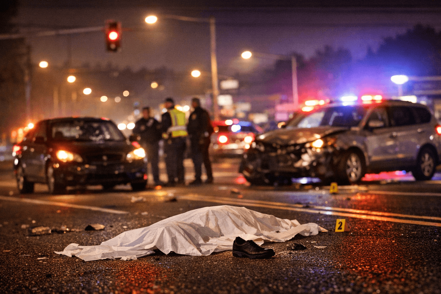
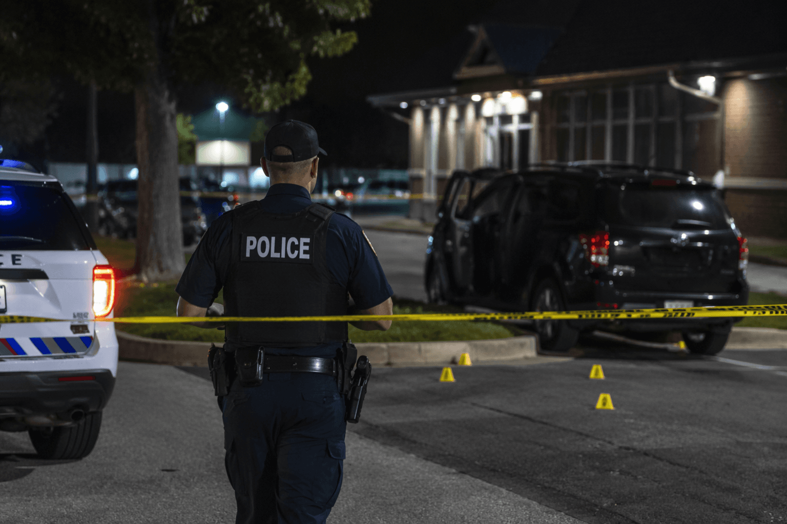
Two vehicles struck Hashim Kabbani in the eastbound lanes of St. Barnabas Road near Virginia Lane at approximately 8:40 p.m. on April 1. He was 28 years old. He died at the scene. Police needed nearly a week and public tips to identify him, a delay that underscores how little trace a pedestrian can leave on a fast-moving arterial after dark.
The Prince George's County Police Department's Collision Analysis and Reconstruction Unit is still working the case. Both drivers remained on scene and were not injured. Anyone with information about the crash is asked to contact the unit directly.
The six-day gap between death and identification is one measure of the problem. Another is the road itself. St. Barnabas Road, also Maryland Route 414, runs through the heart of Oxon Hill as a multilane arterial connecting residential neighborhoods to the Capital Beltway interchange and the National Harbor corridor. Pedestrian crossings are limited across much of the stretch, and the nighttime conditions on April 1 would have compressed driver reaction windows to seconds.
Prince George's County committed to the Vision Zero framework in 2021, pledging to eliminate all traffic fatalities and serious injuries by 2040. The county recorded 99 traffic deaths in the year that campaign launched, many of them people on foot. Kabbani's death is a direct test of whether that pledge extends to the specific block of pavement where he was killed.
The county's Department of Public Works and Transportation and MDOT State Highway Administration maintain a High Injury Network: a map of one-mile road segments where pedestrian and cyclist crash severity is disproportionately high. The map shows how localized and corridor improvement projects intersect with the High Injury Network. Neither agency has publicly disclosed whether the St. Barnabas Road corridor near Virginia Lane appears on that network, what infrastructure improvements are planned, or on what timeline. Those answers are overdue.
Until they come, conditions on that corridor remain unchanged. Pedestrians navigating St. Barnabas Road after dark should cross only at signalized intersections, wear reflective clothing, and treat each lane of traffic as independent: a gap in one lane does not mean approaching drivers in the adjacent lane have also yielded. On a multilane road at night, the margin for error is measured in feet.
The Collision Analysis and Reconstruction Unit's investigation into Kabbani's death continues. Witnesses or drivers with dashcam footage from the area of St. Barnabas Road and Virginia Lane on the evening of April 1 are urged to come forward.
This article was produced by Prism’s automated news system from verified source data, official records, and press releases, then run through automated quality and moderation checks before publishing. The system is built and supervised by the people who set the standards it runs under. Read our full AI policy.
Did this article answer your question?