Storm chances rise across Quitman County, Monday looks wettest
Monday carries the highest rain risk for Quitman County, with storms likely and heat index values above 105 between afternoon downpours.
Monday looked like the wettest day in Quitman County, with showers and thunderstorms likely and rain chances near 80 percent, while late-afternoon storms and dangerous heat could collide across Marks, Crowder, Lambert and Falcon. The National Weather Service forecast for the county also pointed to gusty south or southwest winds at times, which can make even short-lived storms feel more disruptive on rural roads and around outdoor work sites.
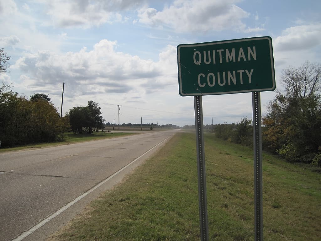
Quitman County’s small size makes that timing matter. The county, formed in 1877 and home to 6,176 people in the 2020 census, is Mississippi’s third-least populous county, with Marks serving as the county seat and smaller communities spread across the Delta. That means a quick thunderstorm can delay travel, interrupt field work, slow utility crews and force last-minute changes for church events, community gatherings and errands that often depend on a narrow window of dry weather.
The same forecast page flagged Lightning Safety Awareness Week, which ran June 21-27, as a reminder that thunderstorms in the Delta can turn dangerous quickly. NOAA advises having a lightning safety plan any time storms are expected and notes that thunderstorms often form in the late afternoon, a pattern that lines up with the time of day when farm crews, recreation and after-work travel are most likely to be outside. The page also linked residents to the latest drought information for the Mid-South, underscoring that Quitman County is dealing with both bursts of rain and broader dry conditions.
That drought picture remains severe. Drought.gov says 100 percent of Quitman County residents are affected by drought in its latest county snapshot, and the county logged the 34th driest April on record along with the 6th driest year to date for January through April 2026. For people working fields, tending lawns or trying to plan drainage around homes and businesses, scattered storms may bring short-term relief without ending the larger strain.
Heat added another layer of risk. The NWS Memphis office said a late-June heat wave was underway, with a Heat Advisory in effect and an Extreme Heat Watch set from Monday through Thursday. Forecasters said heat index values could exceed 105 across much of the Mid-South and reach as high as 110 under the watch, raising the risk of heat-related illness during stretches of humidity between storms.
For Quitman County, the practical takeaway was clear: morning errands and outdoor work may be the safest bets, but the afternoon brings the highest odds of thunderstorms, slick roads and heat stress, with Monday carrying the heaviest rain threat.
This article was produced by Prism’s automated news system from verified source data, official records, and press releases, then run through automated quality and moderation checks before publishing. The system is built and supervised by the people who set the standards it runs under. Read our full AI policy.
Did this article answer your question?