Bowdoinham waterfront signs aim to boost visitors, local spending
Bowdoinham is replacing waterfront signs to steer more visitors into the village core, where town leaders hope parks, trails and events turn into local spending.
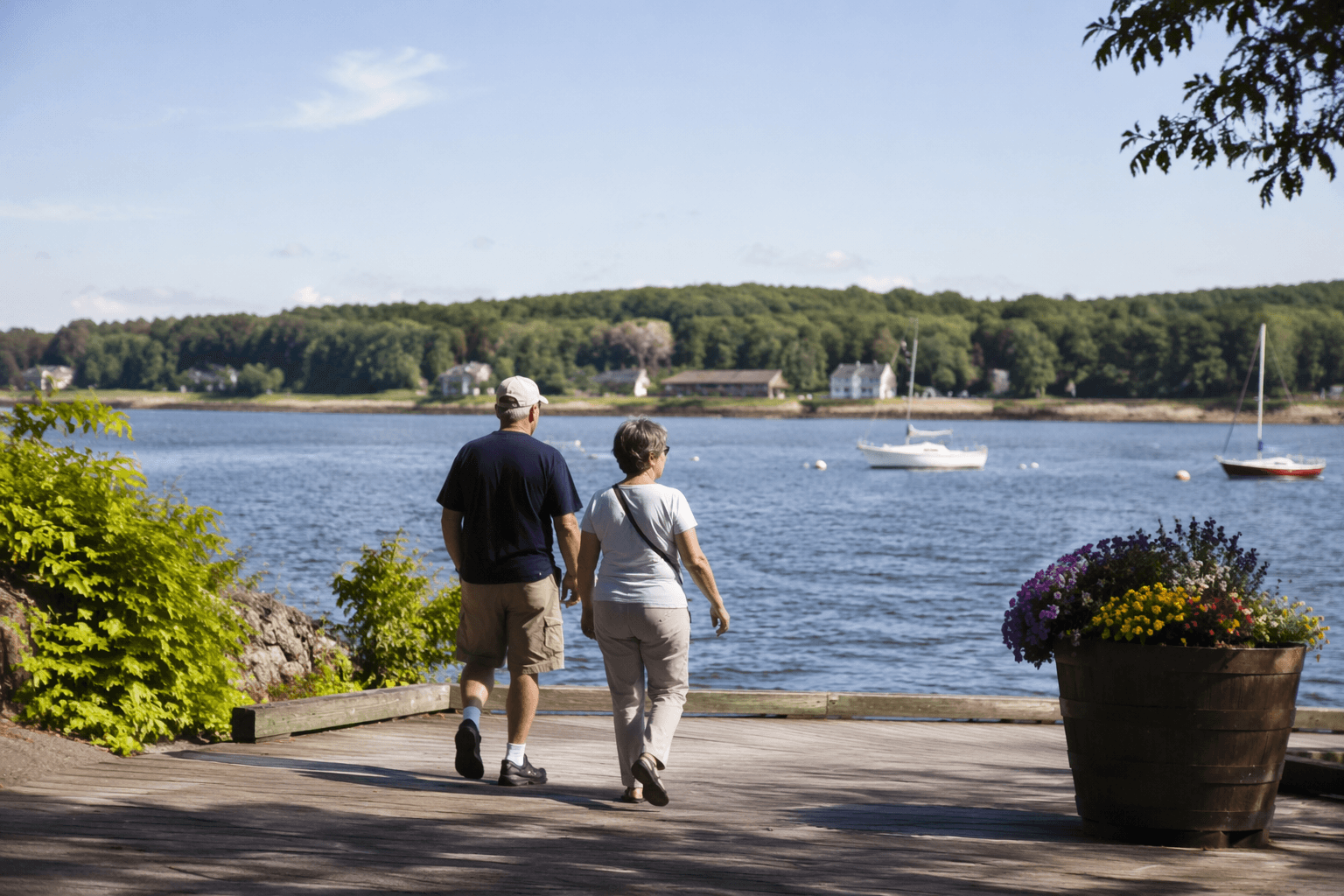
Bowdoinham is betting that better signs can do more than point the way. By tying its waterfront parks to the village center, the town wants visitors who stop at Mailly Waterfront Park, the new Bowdoinham Riverfront Park and the Cathance River Trail system to linger longer, find local businesses more easily and spend money in town.
The project is built around interpretive and wayfinding signs funded in part through the Community Outdoor Recreation Assistance Recovery Program, using federal Economic Development Administration money administered by the Maine Office of Outdoor Recreation. The town says the signs are meant to improve navigation and tell the story of the waterfront landscape, while also strengthening the local economy by connecting public access points to Bowdoinham’s commercial and cultural core.
The sign work grew out of a recommendation from the Community Development Advisory Committee and a public meeting on interpretive signage held Jan. 7, 2025. The request for proposals called for about one to two signs at Mailly Waterfront Park, about five signs at the new waterfront park and about five signs within the Cathance River Trails. The replacement signs are planned as high-pressure laminate panels designed to last up to 50 years.
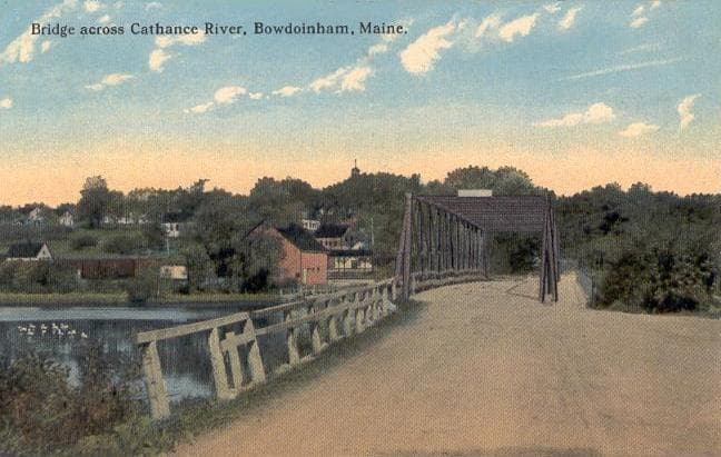
That waterfront has been reshaped over decades. Bowdoinham bought the 20-acre parcel at 8 River Road, with about 1,500 feet of Cathance River shoreline, in 1998 for public works use. The town later repurposed the property through a long planning process tied to its 2014 Comprehensive Plan and waterfront plan. More recent improvements have included a new boat launch for non-motorized craft on the Cathance River and, in 2025, a $15,000 Maine Forest Service Project Canopy grant that helped fund reforestation at the new Riverfront Park, where crews planted around 45 native trees and hundreds of native shrubs.
Town leaders are also linking the signs to a broader trail and tourism strategy. The Merrymeeting Trail is envisioned as a 26-mile multi-use route connecting Topsham, Bowdoinham, Richmond and Gardiner, and Bowdoinham received a $750,000 U.S. Department of Transportation grant in 2026 for trail connectivity work. The town says clearer signs could help channel people from those waterfront spaces into events such as Celebrate Bowdoinham, the Summer Sundays Concert Series, farmers’ markets, Open Farm and Studio Day, the Tour de Bowdoinham bike ride and the Holiday Festival.
Accessibility is part of the pitch as well. The signs are being designed with Community Geographics and the Age Friendly Committee of Bowdoinham so people with physical and cognitive limitations can move through the parks more easily. That focus fits a town that became the first Maine community accepted into the WHO Global Network of Age Friendly Cities and Communities in 2014, and it gives Bowdoinham a clear test ahead: whether better access and clearer routes can turn a scenic stop into measurable local spending.
This article was produced by Prism’s automated news system from verified source data, official records, and press releases, then run through automated quality and moderation checks before publishing. The system is built and supervised by the people who set the standards it runs under. Read our full AI policy.
Know something we missed? Have a correction or additional information?
Submit a Tip