Maine Researchers Document Steep, Widespread Decline in Coastal Eelgrass
Nearly half of Maine's coastal eelgrass has vanished over two decades, with a midcoast survey finding 60% less between Phippsburg and Port Clyde.
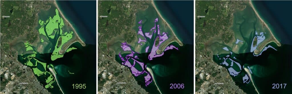
Nearly half of Maine's coastal eelgrass has disappeared over the past two decades, according to the state's marine vegetation mapping program, with surveys conducted in 2024 and 2025 confirming steep losses from Penobscot Bay to Downeast Maine that researchers described as "shocking."
The findings carry direct implications for the Phippsburg peninsula and the broader Sagadahoc coastline. A midcoast mapping survey conducted three years ago found 60% less eelgrass between Phippsburg and Port Clyde, a stretch that covers some of the most ecologically productive nearshore habitat in the region. The latest statewide results are consistent with that earlier finding, suggesting the losses are not localized but part of a pattern running the length of the Maine coast.
Researchers from the Maine Department of Environmental Protection used aerial imaging validated by handheld cameras to map eelgrass and other marine plants across areas last surveyed between 2003 and 2008. The mapping program, created three years ago to conduct regular coastal grass surveys, is currently focused on Downeast Maine, with southern Maine scheduled for 2027.
Janelle Goeke, a staff scientist with the Casco Bay Estuary Partnership, said rising water temperatures and decreased water clarity are likely driving the declines. Marine grasses grow faster in warmer water but require more light for photosynthesis, and coastal sediment runoff compounds the problem by degrading water quality. "So eelgrass might be able to survive the stress from increasing water temperatures, rising sea levels, or coastal development alone, but when they occur together it can become a serious threat," Goeke said in an email.
The losses are not uniform across the coastline. Mainland shores have seen the sharpest declines, while island locations, where grasses are exposed to wave energy and cool, clean water, still support thriving patches. That distinction points to local hydrographic conditions as a partial buffer, though not a solution to statewide pressures.
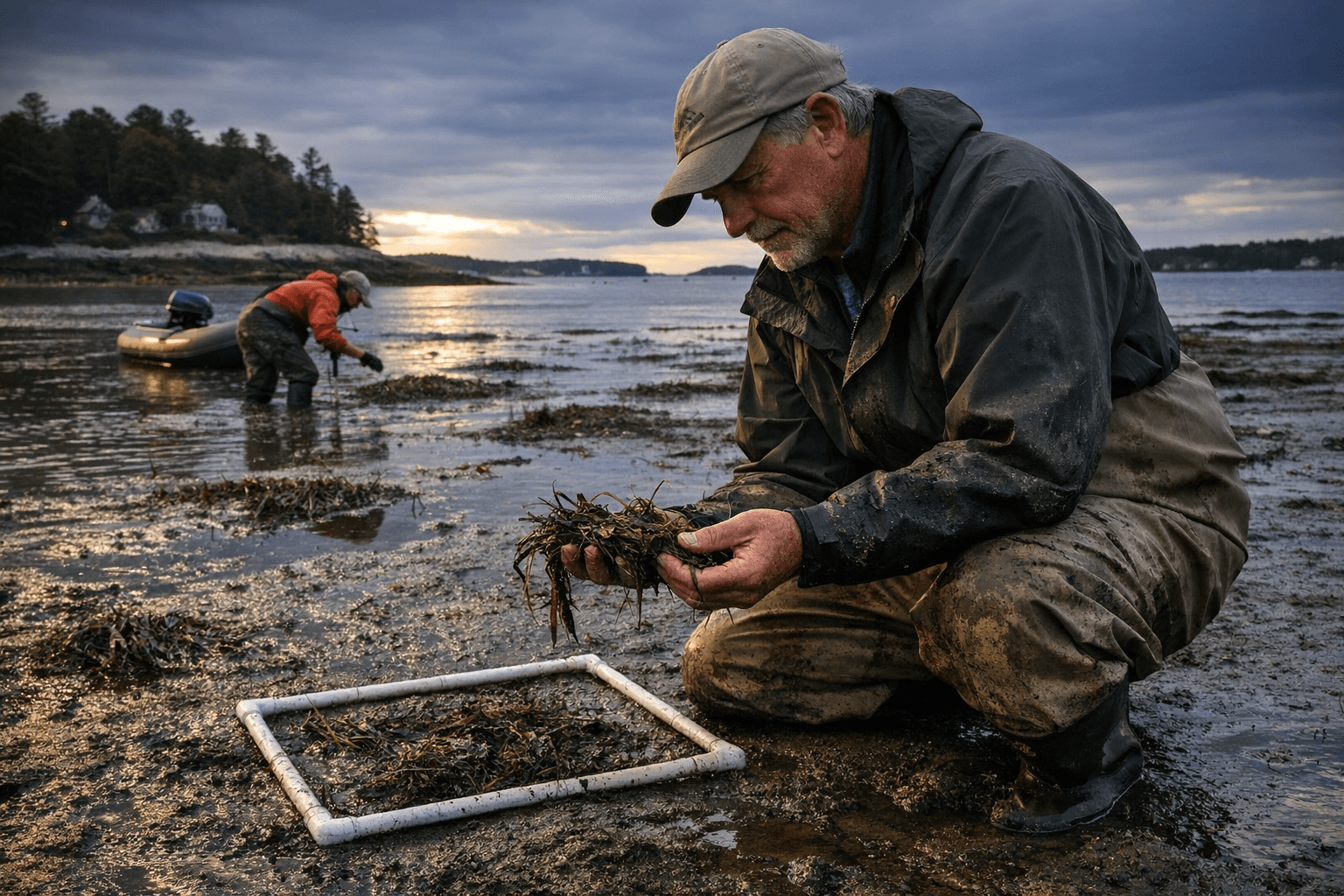
Volunteer Water Reporter Susan Woodman documented conditions firsthand at Willard Beach, where she examined eelgrass beds as part of the broader citizen monitoring effort accompanying the state's mapping work.
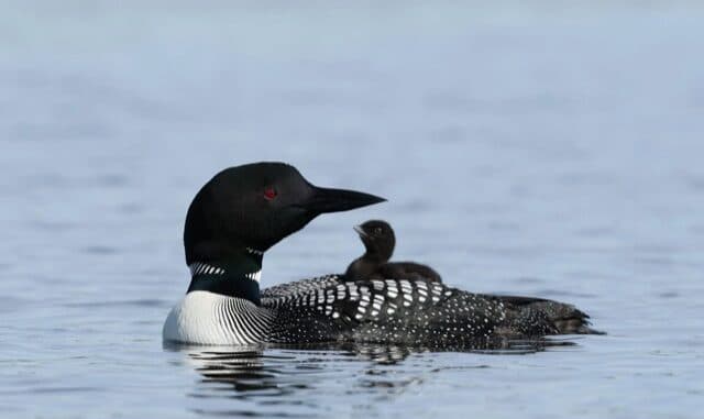
Eelgrass meadows function as nursery habitat for juvenile fish and shellfish, stabilize seafloor sediment, and absorb carbon, making their decline a concern that reaches well beyond the plants themselves. With southern Maine not slated for formal mapping until 2027, the full picture of losses along Sagadahoc County's shorelines remains incomplete.
This article was produced by Prism’s automated news system from verified source data, official records, and press releases, then run through automated quality and moderation checks before publishing. The system is built and supervised by the people who set the standards it runs under. Read our full AI policy.
Did this article answer your question?