La Niña Fades as El Niño Signals Rise, San Francisco Braces
NOAA's February outlook puts El Niño odds above 50% by late summer and near 60% in fall as models show a June Pacific "red streak" signaling emergence.

Climate forecasters and weather reporters marked a shift in Pacific‑scale conditions on Feb. 12, 2026, saying the La Niña pattern that dominated recent seasons is weakening and that signals pointing toward an El Niño are beginning to appear. The IRI probabilistic ENSO forecast from NOAA-CPC data indicates a rapid end to La Niña and the emergence of El Niño during Summer, and forecasters say the event is most likely to reach its main impact during the 2026/2027 winter season.
NOAA's February outlook shows La Niña fading quickly this spring, with El Niño odds climbing above 50 percent by late summer and peaking near 60 percent in fall. ECMWF and multi-model June forecasts already display a pronounced warming across the central and eastern equatorial Pacific; one summary notes that June 2026 forecasted sea surface temperature anomalies show a pronounced red streak across the central and eastern equatorial Pacific, a strong El Niño signal. Severe-weather Eu analysts add that "this is not a full-blown El Niño yet," underscoring that models are flagging development rather than a completed event.
The physical mechanics behind the shift remain central to forecast confidence. As one summary put it, "That subsurface heat reservoir gives the system momentum. Surface warming can fade quickly if the trade winds rebound. But when deep ocean heat builds and spreads eastward, it increases the likelihood that warming will persist and couple with the atmosphere - the step that ultimately defines an El Niño event." NOAA, IRI, and ECMWF outputs together show warming at the surface and subsurface that forecasters will watch for eastward propagation and atmospheric coupling through late summer and early fall.
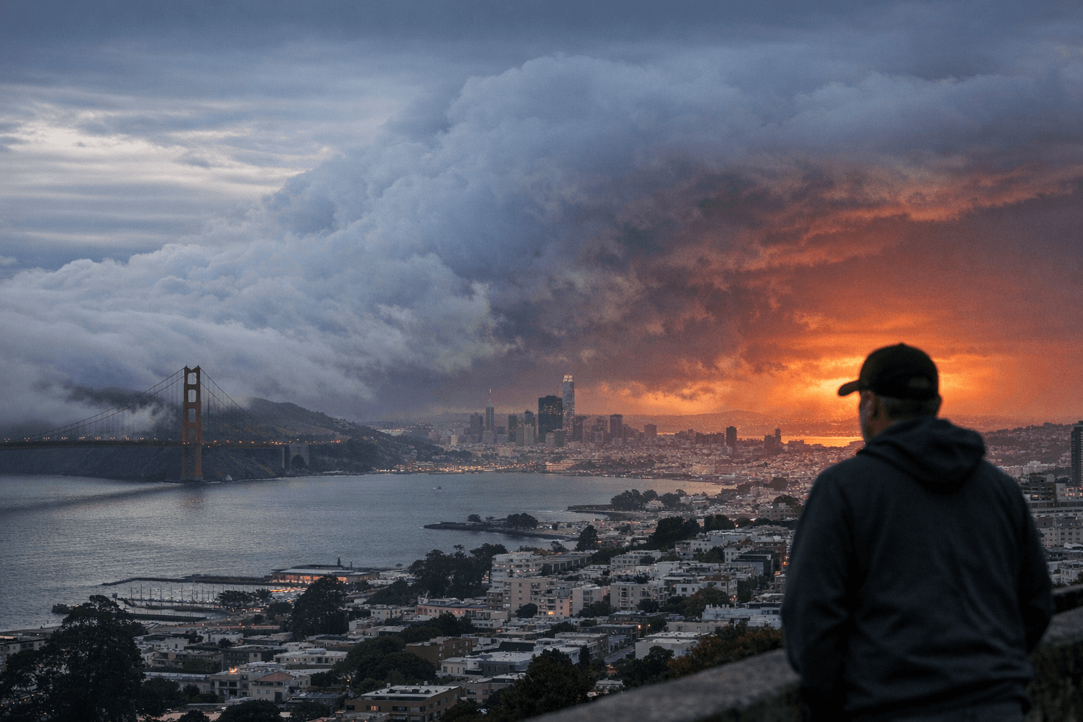
California implications are layered and uncertain for 2026–27. The San Francisco Chronicle cautioned that "El Niño, if it appears later this year, could tilt California in theory toward a more active winter storm track in 2026–27. But heavy precipitation is not guaranteed." The Chronicle also recorded that the turnaround "appears compressed in a way that has surprised even seasoned experts, with one forecaster calling this the biggest mid-winter collapse of La Niña in two decades," a characterization that informs local planning despite the lack of guaranteed storm outcomes.
Forecasters warn of wider Northern Hemisphere impacts if the event strengthens. The IRI/NOAA-CPC-based assessment says El Niño is likely to peak during winter, bringing its main impact during the 2026/2027 winter season across the United States, Canada, and Europe. Severe-weather Eu notes that an El Niño "would bring its first clear atmospheric impact by the 2026 hurricane season" but adds that "it is too soon for any real hurricane forecast." Analysts also note the potential for El Niño to add upward pressure to global temperatures in 2026 or 2027 depending on the event's strength and structure.
Complicating forecasts is a concurrent stratospheric disturbance: "We are currently also monitoring a stratospheric Polar Vortex disruption above the North Pole, which could redefine weather patterns deep into Spring, while the La Niña fades." On average such combined signals have tended toward a specific colder pattern in late winter and early spring, but experts stress that every year is different.
Key dates for San Franciscans to watch are Summer 2026 for emergence, late summer 2026 when NOAA's El Niño odds rise above 50 percent, fall 2026 when probabilities peak near 60 percent, and winter 2026/2027 for likely peak impacts. If you observe early storm-related runoff, flooding, or unusual weather in San Francisco neighborhoods this spring, report where and when so local officials and reporters can track on-the-ground signs of the transition.
This article was produced by Prism’s automated news system from verified source data, official records, and press releases, then run through automated quality and moderation checks before publishing. The system is built and supervised by the people who set the standards it runs under. Read our full AI policy.
Did this article answer your question?