Middle Fork Fire contained near Cuba, Jemez District boundary
A 3-acre fire near Forest Road 531 was already lined and contained, but it sits in heavily forested habitat near Cuba and the Jemez District boundary.
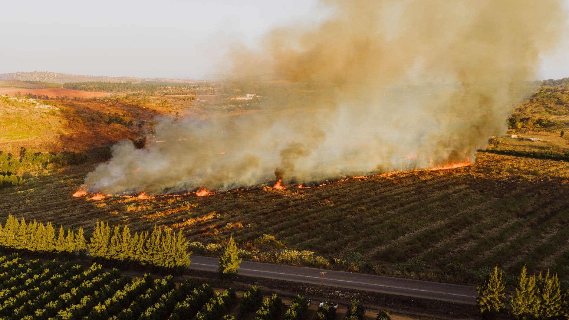
The Middle Fork Fire stayed small near the Cuba and Jemez District boundary, but its location in Middle Fork Ojitos Canyon puts it in a part of Sandoval County where any spread can quickly raise the stakes. Crews had already built fireline around the perimeter, and NM Fire Info listed the blaze at 3 acres as of June 20.
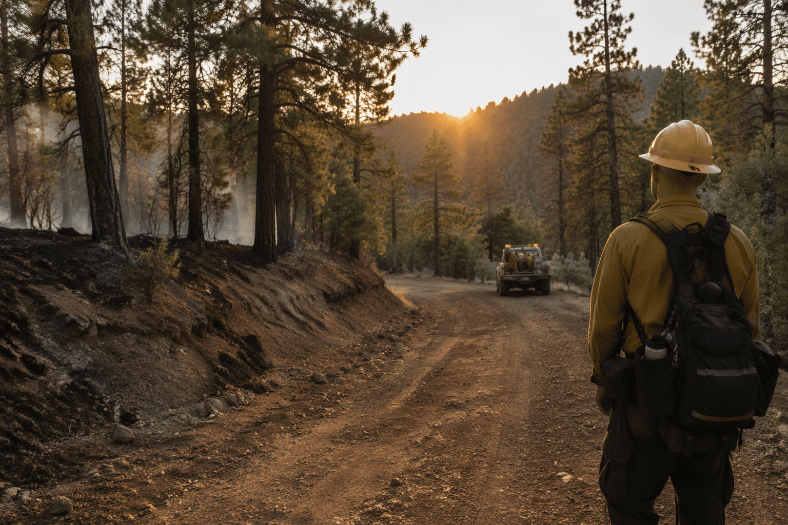
The fire was discovered June 16 at 7:42 p.m. and was described as a natural fire. It burned off Forest Road 531 in an area that NM Fire Info called overwhelmingly forested, a setting that can turn a minor ignition into a bigger access and suppression problem if winds rise or conditions dry out.
That matters because the fire sits near critical habitat for the Jemez Mountains salamander, Mexican spotted owl and New Mexico meadow jumping mouse. In a landscape like this, a small fire can become more than a forest incident if it starts pushing toward roads, recreation routes or the boundary areas that connect the Cuba and Jemez districts.
The Santa Fe National Forest said all currently burning fires on the forest are being handled under a full suppression, direct extinguishment strategy. That is the most aggressive posture the forest can take, aimed at stopping fire growth before it reaches the kind of scale that would force road closures, evacuation planning or broader public-safety measures.
The forest itself covers 1.6 million acres of mountains, valleys and mesas, which means even a small fire can become important when it breaks out in the wrong place. For residents and travelers around Cuba, the key warning signs would be any jump in acreage, a loss of containment, or changes along Forest Road 531 and nearby access routes.

The public can track the fire through InciWeb, the Forest Service’s official incident-information system, which is used to post updates on evacuations, road closures, maps and current status. The New Mexico Fire Viewer, operated by the New Mexico Forest and Watershed Restoration Institute, also shows wildfire perimeters and hotspot updates refreshed every few hours and has drawn more than 500,000 users statewide. If conditions change, officials are directing people to current fire restrictions and incident updates from the Forest Service and NM Fire Info.
This article was produced by Prism’s automated news system from verified source data, official records, and press releases, then run through automated quality and moderation checks before publishing. The system is built and supervised by the people who set the standards it runs under. Read our full AI policy.
Did this article answer your question?