Santa Fe economic office publishes trail guide for runners
Santa Fe's new running guide is a map, a marketing tool and a test of who benefits from city trail spending. Locals, visitors and outdoor businesses all have a stake.
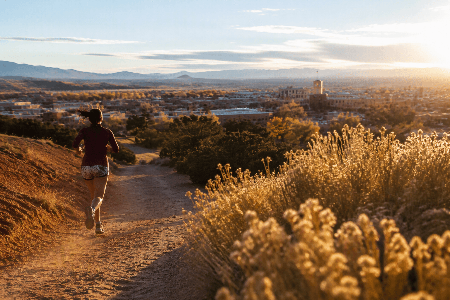
Santa Fe’s new running guide turns the city’s trail network into something more than a recreation handout. Produced by the economic development office with the Santa Fe Striders, it packages routes for runners while also selling a version of Santa Fe built around open space, scenery and movement.
The practical value is immediate. Trail systems can be hard to navigate for people new to town, especially in a city where elevation, terrain and a patchwork of public access points shape how people move. A single guide can reduce confusion, make routes easier to find and give runners a clearer sense of how to use public land without crowding the same popular corridors.
What the guide is meant to do
Johanna Nelson, CEcD, tied the project directly to that bigger pitch when she wrote, “RUN DIFFERENT- Excited that our Economic Development Division, in collaboration with the Santa Fe Striders, has published a Santa Fe Running Guide!” She added that one of her first questions was why she ran in Santa Fe, a clue that the guide is meant to answer that question for others through place, experience and route selection.
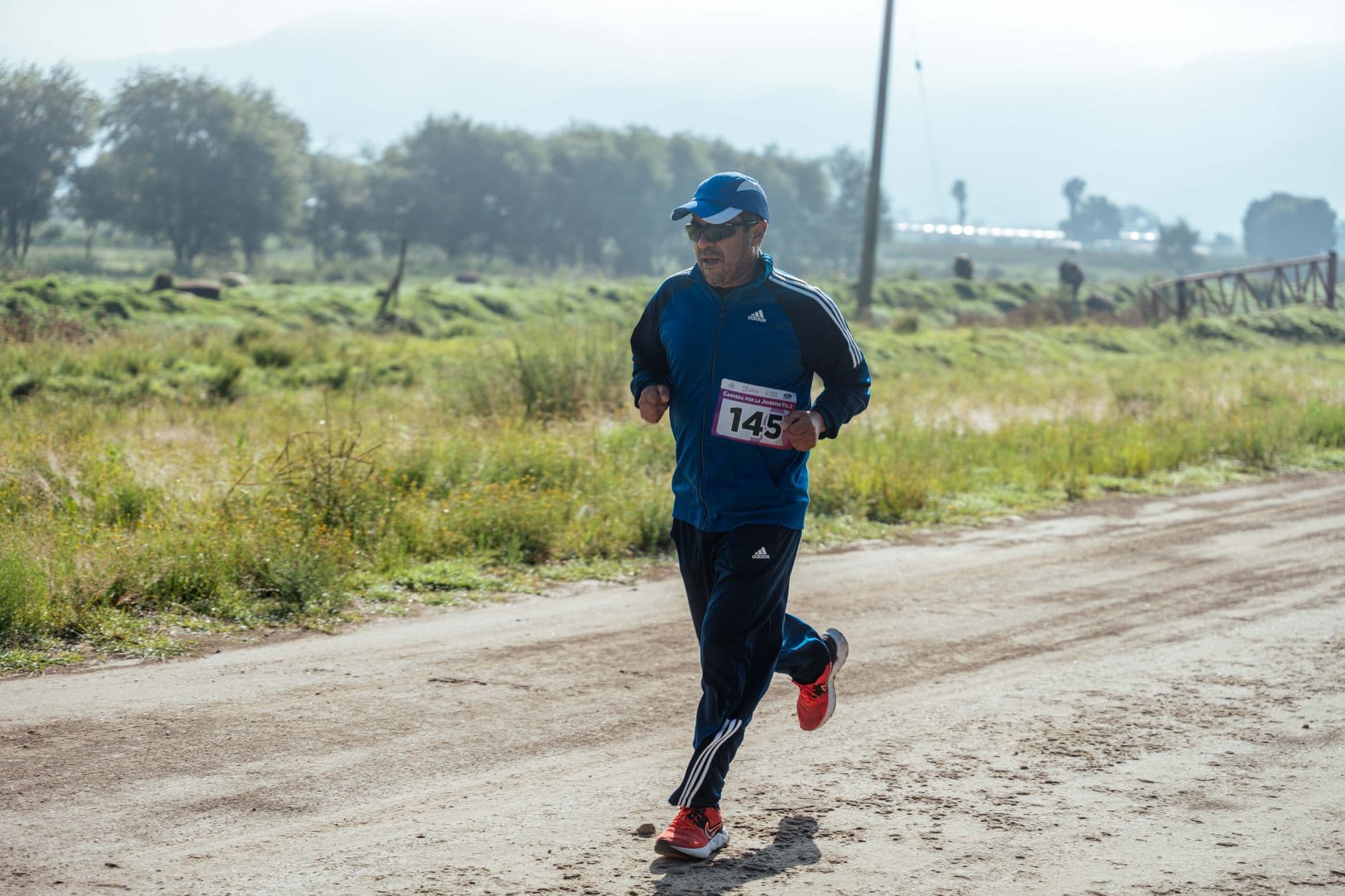
The guide also appears to be aimed at the city’s existing running community, not just visitors passing through. The photo caption attached to the story identified Charles Atsye stretching before joining dozens of others, which suggests the guide is being introduced into a live local scene rather than as a one-off branding exercise. That matters because a guide that reflects real use is more likely to fit how residents already move through parks, open spaces and neighborhood trails.
There is a civic function here as well. When more people know where to go, use can be spread more evenly across a trail system, which can ease pressure on the most familiar routes and encourage more responsible shared use. In a city that depends on public access to attract both residents and visitors, a better map can be as much about stewardship as it is about promotion.
Who stands to gain
Local runners are the most obvious beneficiaries because the guide gives them a clearer set of options. New routes can keep people from repeating the same loops and can open up neighborhoods and open spaces that are already part of Santa Fe’s outdoor identity. For longtime residents, that can make the city feel more legible and more usable as a daily running landscape.
Visitors are the other major audience. A runner arriving from out of town may not know which trails are public, how routes connect, or where the most sensible starting points are, and that uncertainty can limit how much time they spend outside the hotel district or central attractions. Better information can make an active trip feel easier, which in turn can help restaurants, shops and outfitters that benefit when people linger longer in town.
The city itself also has a clear incentive. Santa Fe’s economy has long depended on more than one sector, and outdoor amenities have become part of how places compete for attention, talent and spending. A trail guide helps turn a lifestyle asset into a public-facing economic tool, especially in a city where quality of life is part of the brand.
How the guide fits Santa Fe’s economic strategy
The guide lines up with the City of Santa Fe’s economic development focus, which signals that the municipal government sees business growth as part of its job. It also fits Santa Fe County’s description of the region as a blend of natural beauty, cultural heritage and a thriving economy, with outdoor recreation listed among its target industries. That county framing is important because it places running, hiking and trail access inside a broader development strategy rather than treating them as extracurricular perks.
The New Mexico Economic Development Department makes that logic even more explicit in its Trails+ grant materials, saying trail access can support local economies and preserve natural and cultural resources. That is the policy case behind projects like a running guide: trails are not only for exercise, they are part of a place-based economy that depends on access, visibility and upkeep. When a city or county improves the way people find and use trails, it is also improving the infrastructure around the outdoor economy.
That linkage helps explain why a small publication from an economic office can matter. The guide is not a substitute for trail maintenance, but it can make existing assets more usable while signaling that Santa Fe wants to be known for outdoor recreation in the same way it is known for art and culture. In a market where cities compete on experience as much as on price, that is a deliberate choice.
What to watch in the trail network
The city’s guide makes the most sense when paired with actual trail investment. On March 27, 2026, Santa Fe County celebrated a new Rail Trail addition near the Cero Alto Trailhead in Lamy, a sign that the region is still building out the network behind the branding. A running guide has more value when there are new links, access points and public routes to point people toward.
That is where the tension in this story sits. A trail guide can serve locals who want better information, tourists who want a structured way to experience the city and businesses that profit when outdoor activity becomes easier to plan. It can also reflect a broader policy bet that Santa Fe’s trails are part of its economic future, not just its weekend pastime.
This article was produced by Prism’s automated news system from verified source data, official records, and press releases, then run through automated quality and moderation checks before publishing. The system is built and supervised by the people who set the standards it runs under. Read our full AI policy.
Did this article answer your question?