St. Louis River estuary trail blends paddling, history and restoration
A polluted industrial riverfront now offers 11 paddling loops, restored habitat and new public access across 12,000 acres in the St. Louis River estuary.

The St. Louis River estuary has become one of the clearest examples in the Twin Ports of cleanup turning into public use. What was once an industrial corridor scarred by decades of dumping, dredging and shoreline damage now offers 11 loop routes, sheltered water and a paddling network that reaches from the Fond du Lac Dam to Wisconsin Point. For St. Louis County residents, the change is visible on the water: a damaged riverfront is being rebuilt as a place to launch, explore and bring visitors.
A water trail built on a recovery story
The St. Louis River Estuary National Water Trail sits in the nation’s largest freshwater estuary, a system of more than 12,000 acres of bays, islands and shoreline at the headwaters of Lake Superior. That scale matters because it gives paddlers room to choose shorter outings or longer routes, while also showing how much of the riverfront has been brought back into public view. The trail’s 11 scenic loop routes make it possible to treat the estuary as more than a single launch point, turning it into a set of repeatable trips that can be used throughout the season.
The national designation also signals that this is not just a local amenity. It places the estuary among the country’s recognized water trails, giving the St. Louis River a profile that can support tourism, education and regional pride at the same time. In practical terms, that means the river is now being presented not as a back-end industrial edge but as an asset for paddlers, boaters and day-trippers from Duluth, Superior and the surrounding communities.
What the cleanup had to fix
The estuary’s restoration is rooted in a hard environmental history. The St. Louis River Area of Concern was designated in 1987 under the Great Lakes Water Quality Agreement after more than 100 years of unregulated development and industrial practices reshaped the river. The Minnesota Pollution Control Agency says the cleanup effort gained real momentum after Great Lakes Restoration Initiative funding became available in 2010.
The U.S. Environmental Protection Agency says 80 management actions are required to delist the Area of Concern, including 44 sediment remediation and habitat restoration construction projects. Half of those 44 projects have already been completed. That progress matters because the river’s problems were never just cosmetic. The EPA ties the contamination to historical wastewater discharges, landfills and other industrial impacts that left sediment, habitat and access badly compromised.
Some of the most concrete evidence of the cleanup’s scale is what has already been removed. A restoration summary cited about 115,000 cubic yards of slab wood and wood pilings taken out of Radio Tower Bay, a reminder of how deeply lumber-era industry altered the shoreline. That kind of physical removal is what turns a story about environmental repair into one with visible before-and-after results.
Where paddlers actually go
The trail’s appeal is not limited to experienced boaters. The St. Louis River Alliance describes it as a good fit for newer paddlers, while also warning that conditions can change quickly. Cold water, wind, current, large woody debris, dam releases and ship traffic can all affect safety, so this is a river that rewards planning. The trail materials point users to a free recreational map, access-point information, route descriptions, gear rentals, camping options, guided trips and itinerary ideas, which makes the route system useful for both first-time visitors and repeat trips.

The planning area stretches from the Fond du Lac Dam to Wisconsin Point, though some route descriptions reference the Highway 2 Bridge area. That range gives the trail a long recreational spine through the estuary and helps explain why it works for such different users. Some people will want a short loop close to town; others will want a fuller trip through sheltered water, where islands and bays create a less intimidating paddling environment than open Lake Superior.
The Minnesota Department of Natural Resources also advises paddlers to check water levels and call the district office with river questions. That guidance underscores an important point for anyone planning a trip: this is a developed water trail, but it is still a working river system, not a flat, protected park pond. Wind, current and industrial legacy all remain part of the experience.
Waabizheshikana connects the river’s past to its present
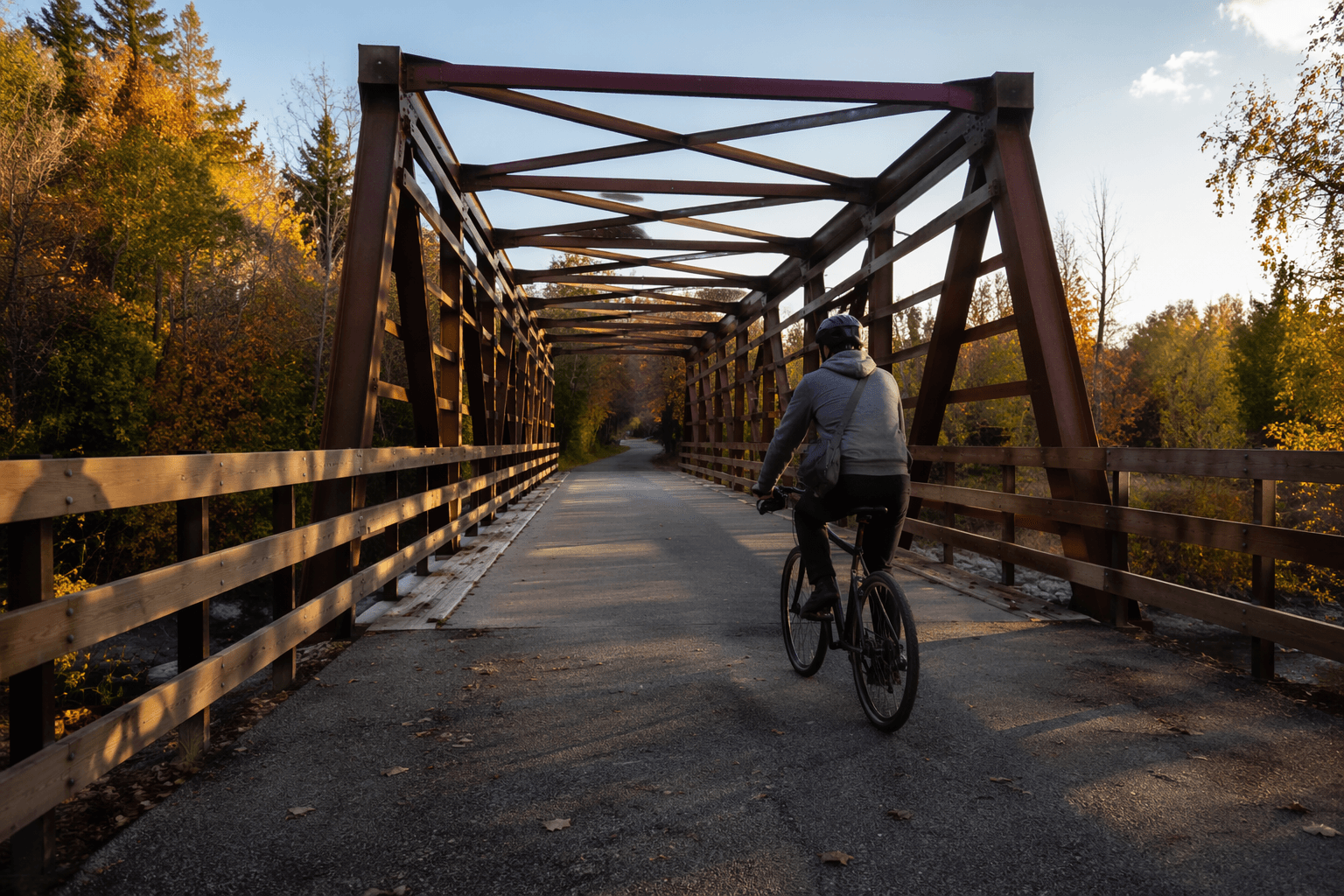
The Marten Trail adds a land-based way to see the same transformation. Renamed in 2019 from the Western Waterfront Trail, Waabizheshikana is about 3.3 miles long and partly follows an abandoned rail corridor. The route honors the Marten Clan that settled in this part of the St. Louis River, tying restoration work to a deeper local history rather than treating the riverfront as blank redevelopment land.
The city opened a section of segment 3 in July 2024 between Blackmer Park and Wire Mill Pond, giving residents a more continuous way to reach the river edge and learn the landscape as they move through it. The National Park Service says it became involved in the cleanup effort in 2022 through its Rivers, Trails, and Conservation Assistance program, which helps explain how the trail and the broader restoration effort are being linked as one public project rather than two separate efforts.
That connection matters for access. A river can be cleaner without becoming easier to reach, but the Marten Trail helps close that gap. It also places the cleanup in neighborhoods where people live, including Riverside, Morgan Park, Gary-New Duluth and Oliver, where river access has long been shaped by the same industrial history that damaged the estuary in the first place.
Why the recent milestones matter for St. Louis County
The cleanup is no longer theoretical. Partners marked the completion of the eighth and final contaminated sediment remediation project on the Minnesota side of the Area of Concern at Thomson Reservoir on May 27, 2026. In late May 2026, the EPA said all sediment cleanup projects on the Minnesota side were complete. For local residents, that is the clearest sign yet that public investment is producing a visible return: cleaner water, restored shoreline and a riverfront that can now be used as a recreation destination.
The economic case is straightforward. A trail with 11 loops, a nationally recognized designation and a repaired public shoreline is better positioned to draw paddlers, day visitors and longer-staying travelers into Duluth and Superior. The civic case is just as direct. Cleanup dollars, federal partnership and local planning have moved the estuary from sacrifice zone toward shared public space, and the result is a river that can be paddled, walked and understood as part of St. Louis County’s working geography rather than a remnant of its industrial past.
This article was produced by Prism’s automated news system from verified source data, official records, and press releases, then run through automated quality and moderation checks before publishing. The system is built and supervised by the people who set the standards it runs under. Read our full AI policy.
Did this article answer your question?