Wildfire near Ely triggers evacuations, burns 30 acres on Burntside Lake
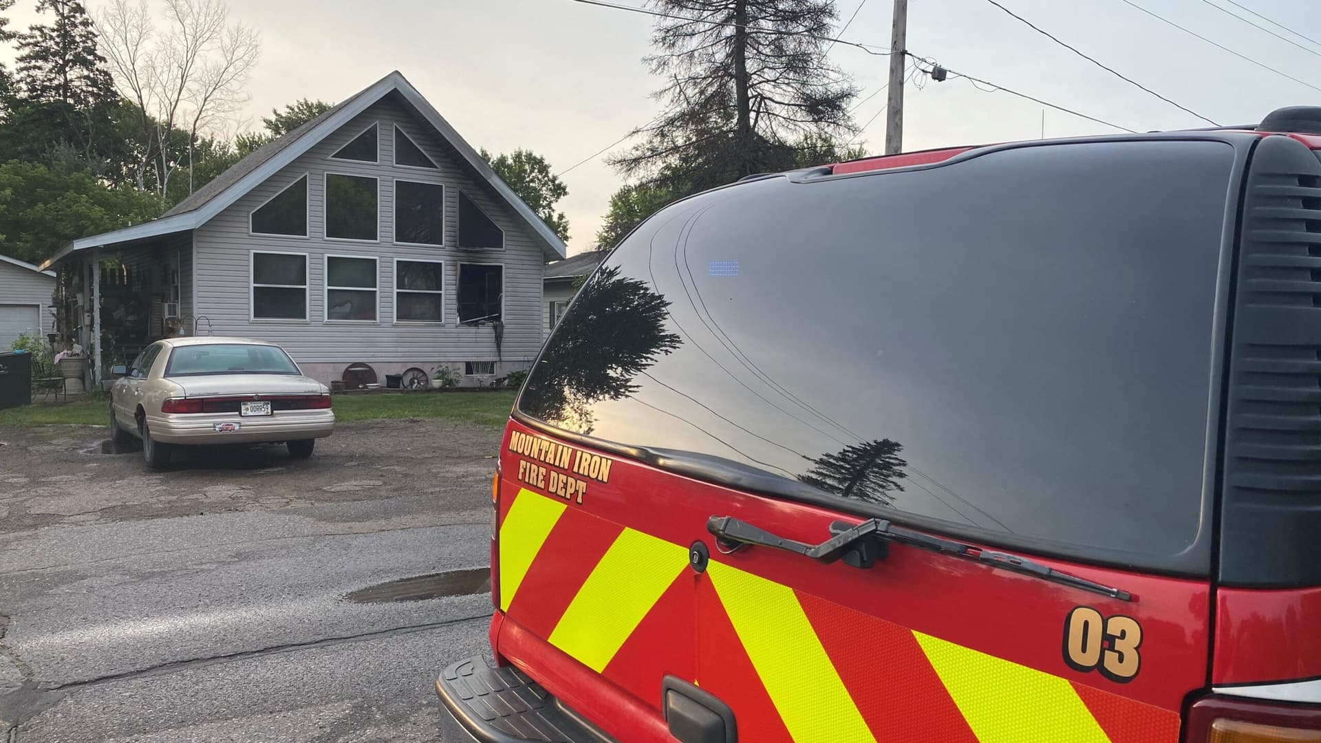
Nine Burntside Lake cabins were evacuated as a fast-moving fire grew to about 30 acres, with crews set to resume suppression Tuesday.
Nine cabins were evacuated near Burntside Lake as a wildfire on the north side of Birch Bay raced across U.S. Forest Service land and forced St. Louis County to treat the blaze as an active evacuation-level emergency.
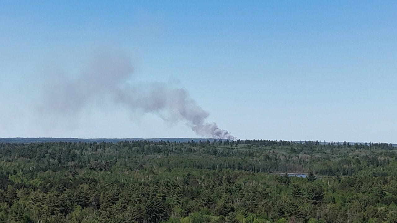
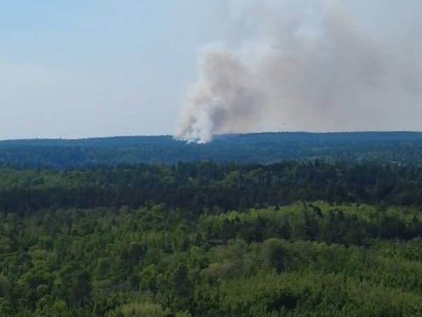
The fire was first reported at about 2:56 p.m. near the north side of Birch Bay on Burntside Lake, roughly eight miles northwest of Ely in Eagles Nest Township. By 8:30 p.m., the St. Louis County Sheriff’s Office said the fire had burned about 30 acres, and officials said no structures had been destroyed. The evacuation area covered Lindskog Road and the southernmost part of North Arm Road, affecting multiple seasonal homes and cabins.
Crews from local, state and federal agencies worked the fire around North Arm Road and Lindskog Road as aircraft dropped water from Burntside Lake. A CL-415 Super Scooper was among the aircraft assigned to the scene, and the sheriff’s office urged the public to stay away from the area and avoid flying drones near the fire while aircraft were operating overhead. Officials said suppression work would pause overnight and resume Tuesday morning.
Sheriff Gordon Ramsay said there did not appear to be a threat to Camp Du Nord or Camp Widjiwagan, two nearby YMCA camps. Superior National Forest officials said wind was pushing the fire toward the Boundary Waters Canoe Area Wilderness and away from private property, underscoring how quickly conditions can shift in the Ely area’s forested, lake-dotted terrain.
The County Sheriff’s Office also used its wildfire evacuation map system to direct residents to check zone status, a sign that the incident was still changing hour by hour. The cause had not been determined as of Monday night.
The fire also fit into a larger Northland pattern that local officials know well. The Ely area has lived through major wildfire threats before, including the 2011 Pagami Creek Fire and the 2012 Highway 1 wildfire. Minnesota officials say wildland fire protection covers more than 45 million acres of public and private land statewide, and the Minnesota Department of Natural Resources updates its fire danger map and burning restrictions daily.
This article was produced by Prism’s automated news system from verified source data, official records, and press releases, then run through automated quality and moderation checks before publishing. The system is built and supervised by the people who set the standards it runs under. Read our full AI policy.
Did this article answer your question?