Wasatch County, Heber City Negotiate North Fields Protections Before Bypass Construction
Heber City and Wasatch County are revising a 2019 land agreement to block development from creeping into the North Fields once UDOT's $760.5M bypass is built, but enforceability remains unresolved.
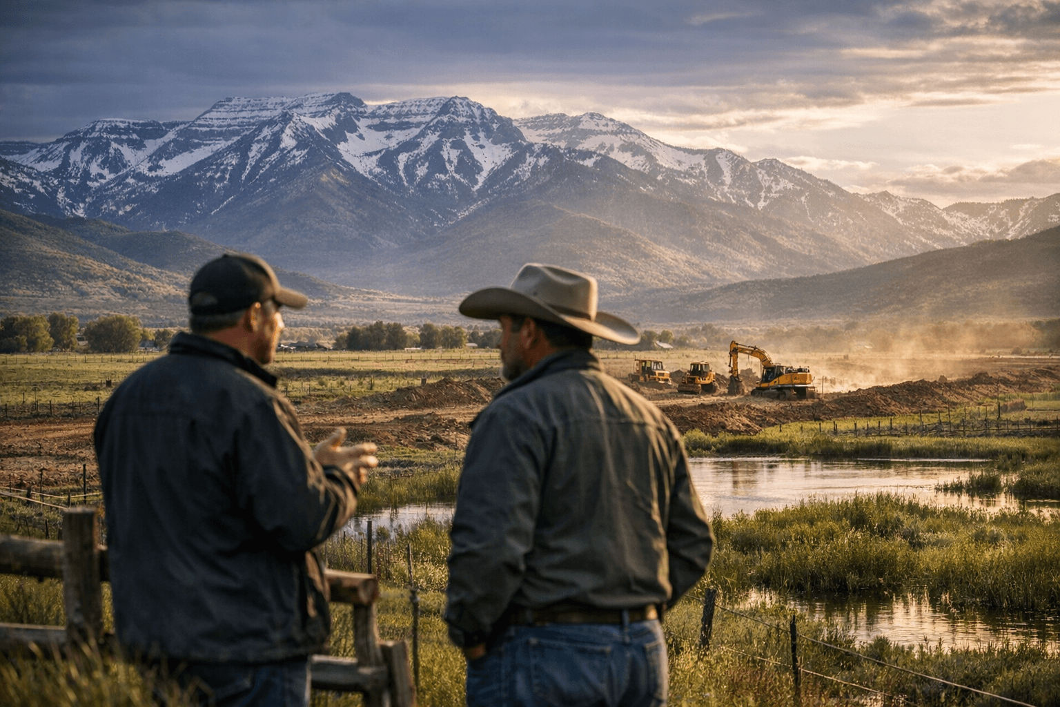
The North Fields stretch west of U.S. 40 between Potters Lane and 900 North, a patchwork of wetlands, irrigation channels, and agricultural pastures where, as Utah Open Lands executive director Wendy Fisher described it in March, "sandhill cranes stand next to cows." By late 2026, a new UDOT highway is slated to slice through that same corridor, and the question Wasatch County and Heber City are now racing to answer is: what happens to everything the road doesn't take?
The two jurisdictions held a joint meeting this week to negotiate an updated memorandum of understanding that would place hard boundaries on how far Heber City can develop once Alternative B is built. The $760.5 million UDOT project, announced in January as the agency's preferred route, will enter the North Fields at the intersection of U.S. 40 and Potter Lane and exit south of downtown, reconnecting with U.S. 40 and U.S. 189. The concern shared by both councils is that a new road creates new development pressure, and a 2019 MOU that says annexation and urban services in the North Fields "should be avoided" is too soft to hold that pressure back.
"I think 'avoided' is not a strong enough word," County Councilor Luke Searle said at the February joint meeting that launched the current round of talks.
The draft memorandum now circulating would restrict Heber City from expanding past 900 North on the west side of U.S. 40 and would require the county to zone the North Fields exclusively for agriculture, capping density at one residential unit per 20 acres. It also commits Heber City to acquiring land and conservation easements in the fields using revenue from the North Fields preservation fee, a $2,500-per-unit charge levied on developers building within the North Village Overlay Zone, a roughly 95-acre development area at the intersection of River Road and U.S. 40 that Heber City annexed in December 2024.
Where exactly to draw the conservation boundary is still contested. The County Council's initial map covered nearly the entire North Fields. Heber City's council is focused on a narrower strip: the land between existing U.S. 40 and the bypass corridor, north of 900 North and south of College Way, the area most exposed to speculative development once the highway opens.
City Councilor Aaron Cheatwood laid out the logic plainly. "I don't intend our preservation to be little plots of land in the middle of nowhere," he said. "I'm really worried about everything that comes next to the highway. If there's a brand new road, there's a lot of incentive to build something." Cheatwood compared the strategy to New York City's acquisition of Central Park land, framing preservation as infrastructure that gets harder and more expensive to accomplish the longer officials wait.
The enforcement question is the most consequential detail still unresolved. At the April 1 County Council meeting, resident Pam Patrick said an MOU "does not mean a whole lot" without "teeth." City Attorney Jeremy Cook acknowledged that forcing future elected officials to honor the memorandum would be difficult. County Councilor Mark Nelson pushed back, saying the county and Heber City "have never been more aligned or worked more closely together," but alignment between current officials is not the same as a legally binding instrument.
City Councilor Mike Johnston raised a parallel concern about cost-sharing. "If we're going to commit in a contract, 'This is where we're putting our preservation fees,' I would like the rest of the county to also participate," he said, noting that the county comprises roughly half of Heber City's population, meaning city taxpayers would effectively shoulder a disproportionate share of acquisition costs without a formal county funding commitment.
UDOT is expected to publish its final environmental impact statement in late 2026 after receiving more than 700 public comments during the 90-day review period. That document will lock in the corridor alignment, after which the development pressure the two councils are trying to get ahead of will arrive in earnest. The Flying A Ranch, a 60-acre parcel belonging to the Giles family inside the North Fields, was permanently protected by a conservation easement through Utah Open Lands in March, a signal that individual parcels can be secured. What remains to be determined is whether a broader, enforceable agreement between two governments can be finalized before the bulldozers set the terms instead.
This article was produced by Prism’s automated news system from verified source data, official records, and press releases, then run through automated quality and moderation checks before publishing. The system is built and supervised by the people who set the standards it runs under. Read our full AI policy.
Did this article answer your question?