Why Summit County has two planning districts, and what it means
Summit County's split planning system decides which rules govern growth, water, and rural land, and it shapes the fights over what gets built where.
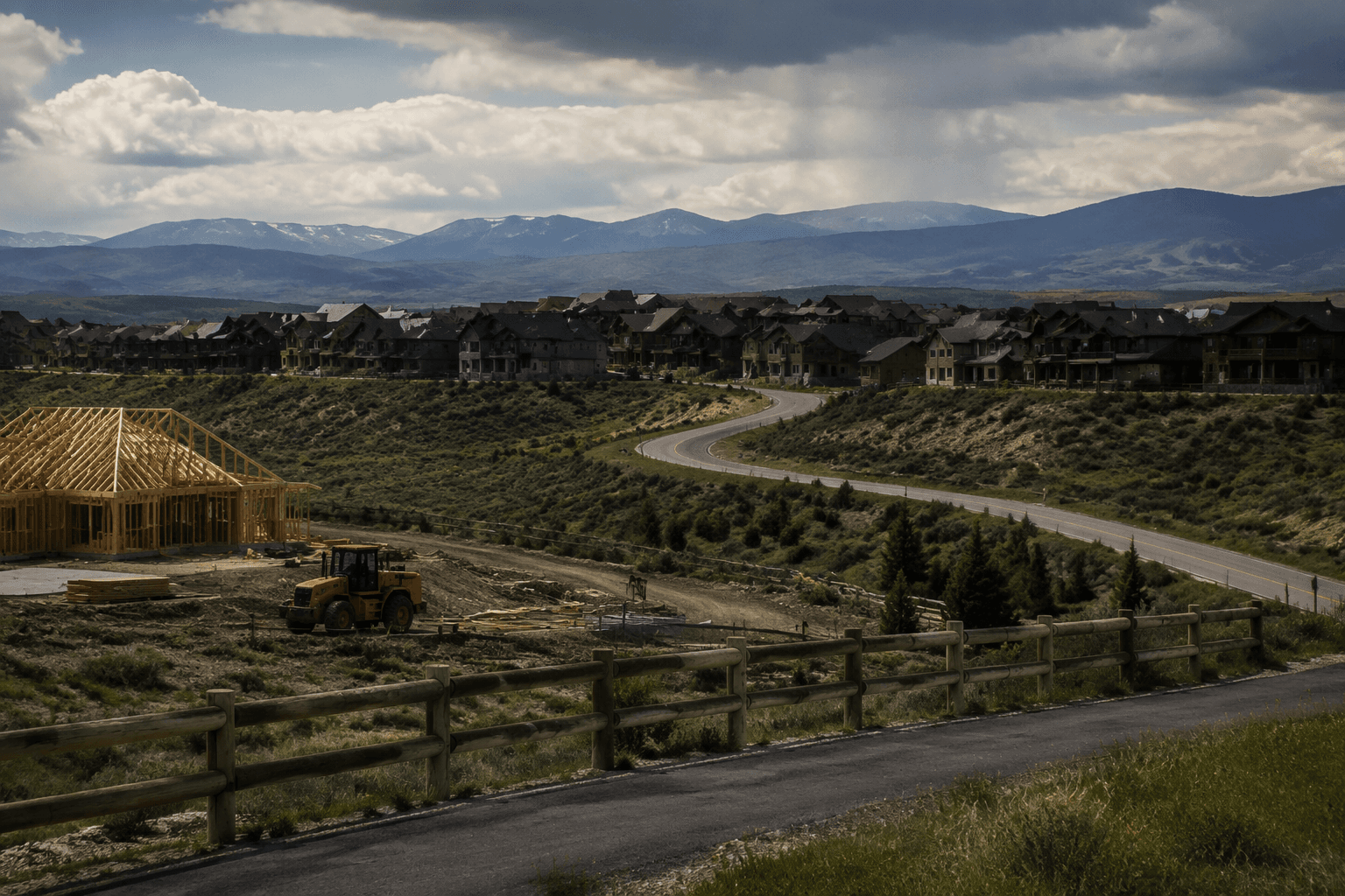
A project in the Snyderville Basin is judged under different plans and by a different planning commission than one in Eastern Summit County. The county uses that split to manage a landscape that runs from resort growth near Park City to agricultural valleys and small towns around Coalville and Kamas.
Why Summit County has two planning districts
Summit County was created in 1854, and its scale helps explain why one county planning system never fit every corner of it. The county covers 1,849 square miles, yet its 2020 census population was 42,357, with a 2024 estimate of 43,109 and a density of roughly 23 people per square mile in one profile.
The county’s history also points to different land-use traditions. A Utah historical reference lists Summit County’s economy as including skiing, tourism, lumbering, and livestock, reflecting the tension still visible today between mountain resort development and rural land stewardship. Summit County’s official pages identify two planning districts, the Snyderville Basin Planning District and the Eastern Summit County Planning District, instead of treating the county as one uniform development area.
What the split changes when land is rezoned or subdivided
District boundaries determine which general plan applies, which commission reviews the proposal, and which local priorities carry the most weight. Summit County’s planning structure includes two separate planning commissions, the Snyderville Basin Planning Commission and the Eastern Summit County Planning Commission. The line divides decision-making around two very different local conditions.
In 2024, there were two seats open on both the east and west Summit County planning commissions. If a proposal involves a subdivision, a rezoning, or a land-use dispute, the district determines whether the eastern or basin planning framework will shape the discussion before it reaches the county’s broader decision-making process.
Why the eastern side is built around agriculture and rural land
The Eastern Summit County Development Code makes the county’s priorities unusually explicit. Chapter 1 is the Rural Agriculture Protection Program, and it includes agriculture protection areas, agriculture preservation incentives, community preservation incentives, preserving and promoting business enterprises, and expectations for public infrastructure and services. Chapter 2 adds standards for agriculture, water and sewage, natural resources, and county infrastructure, facilities, and services.
The code is written to protect working land while still leaving room for some kinds of enterprise and public infrastructure, which is exactly where many local development fights begin. A developer may see an undeveloped parcel; the county code sees agricultural protection, service capacity, and the cost of extending infrastructure into a low-density area.
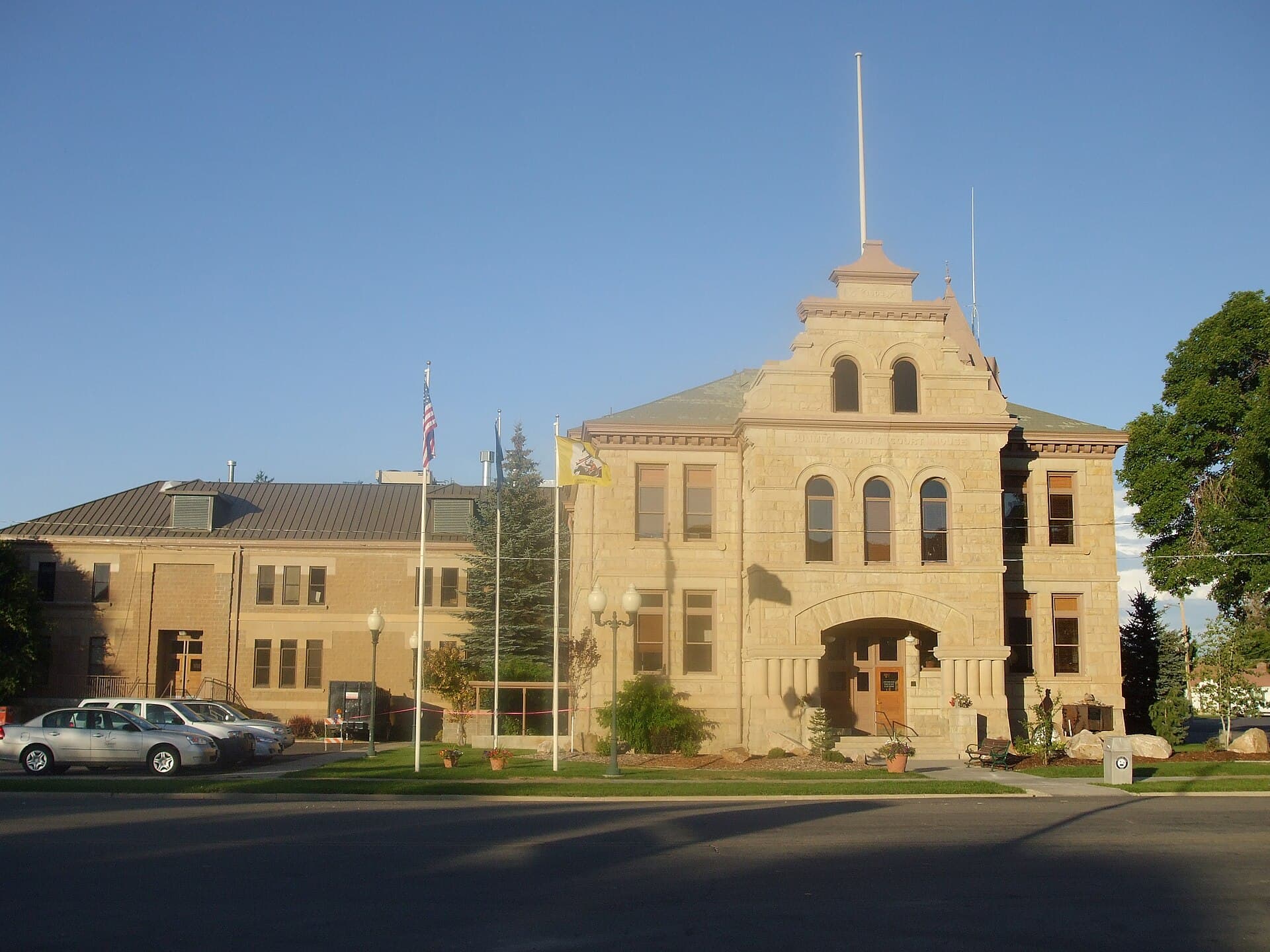
The Eastern Summit County General Plan, amended August 13, 2013, says its mission is to enhance quality of life through responsible growth that fosters stewardship of land and natural resources while balancing private property rights. Its table of contents shows how broad that balancing act is: land use, infrastructure and transportation, economic diversity and development, natural resources and environmental quality, municipal coordination and cooperation, moderate income housing, and the community planning process.
Water is not a side issue in Summit County planning
Water has become one of the county’s central land-use questions because state law requires it to be part of general planning. Under Utah Code 17-79-403, counties must integrate a water element into their general plans, and Summit County has treated that requirement as a planning priority.
The Eastern General Plan’s water element links sustainable development, water use, and agriculture to drought, climate change, and population growth. It specifically references Gov. Spencer Cox’s April 21, 2022 drought emergency declaration; the Great Salt Lake reached its lowest levels ever recorded that summer.
Chapter 2’s standards for water and sewage, natural resources, and county infrastructure show that the county expects applicants to deal with service capacity, not assume it will appear later.
The county is already revisiting the rules
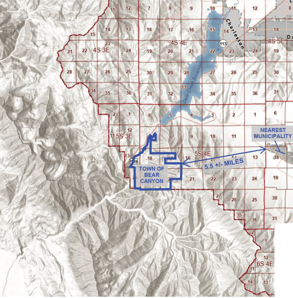
In May 2024, planners were preparing comprehensive updates to the county’s general plan documents. In July 2024, big changes were coming to the Eastern Summit County General Plan. By November 2024, the county was seeking community input on general plan updates before a Dec. 2 deadline, and TownLift published a planning district map.
The two-district system only works if the plans stay tied to current growth pressure. A plan written for older conditions can lag behind resort expansion in the basin, housing demand near established towns, or infrastructure limits on the east side. The county’s separate general plans and planning commissions are the tools it uses to keep those pressures from being treated as identical.
This article was produced by Prism’s automated news system from verified source data, official records, and press releases, then run through automated quality and moderation checks before publishing. The system is built and supervised by the people who set the standards it runs under. Read our full AI policy.
Did this article answer your question?