Texas County’s ancient river corridor shaped early village life
Texas County’s oldest route was already a human corridor, shaped by Antelope Creek villages, springs and flint long before rail and pavement. That deeper map still sits under Guymon, Optima and Hardesty.

Before U.S. Highways 54, 64 and 412 crossed Texas County, the land was already a corridor for settlement, farming and travel. The county’s archaeological record includes six Paleo-Indian sites, sixteen Archaic sites, five Woodland sites and forty-four Plains Coalesced Villager sites, a reminder that local history did not begin with railroads or townsites.
Villages along water and stone
The deepest layer of that story is the Antelope Creek world. The National Park Service places Antelope Creek communities in the Texas Panhandle from about A.D. 1150 to 1450, when people settled permanently along the Canadian River and its tributaries and built stone-and-clay villages, storage areas, defensive structures and farming sites. Their homes were drawn to dependable freshwater from springs and streams fed by the Ogallala Aquifer, and to Alibates Flint, which gave the region a practical value that went far beyond shelter.
That geography matters because it explains why the old settlements clustered where they did. These were not temporary camps scattered at random across the plains. They were organized communities in a river corridor that offered water, building material and access to a prized stone resource, all in the same landscape.
Texas County’s Plains Coalesced Villager sites, recorded in the Oklahoma Historical Society’s county encyclopedia, belong to that same broad Antelope Creek horizon and date to about A.D. 1250 to 1400. More than a dozen Antelope Creek house sites are known in the Oklahoma Panhandle, but only four residential sites have been professionally excavated in the past seventy years. That small number matters: so much of the county’s earliest domestic life still survives only as traces in the ground.
What the houses looked like
The excavated homes were substantial. The Antelope Creek Phase record describes masonry-and-adobe dwellings with east-facing entries, interior posts and storage pits, arranged as single rooms or as several rooms joined together. Those details show a settlement pattern built for permanence, not improvisation, with house forms and storage features suited to farming households living in place.
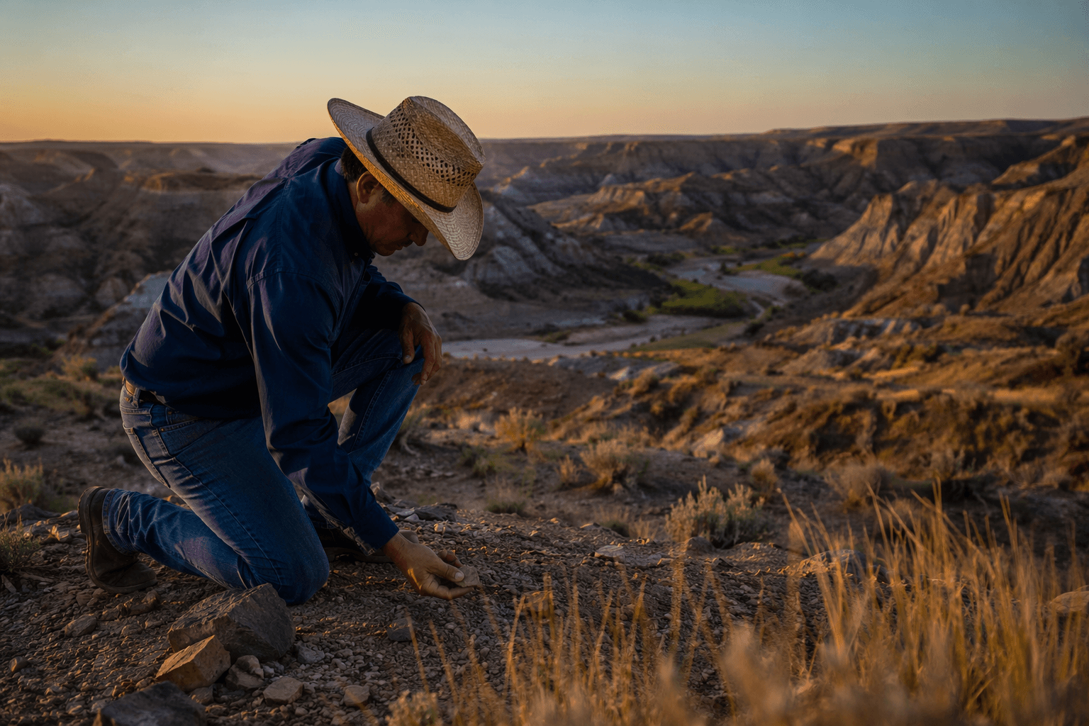
In Texas County, that history is visible at the Stamper, or Optima, Site east of Optima. The site is listed in the National Register of Historic Places as NR 66000635 and includes twenty-eight single-room dwellings dating to around 1400. The Oklahoma Historical Society notes that a 1933 to 1934 archaeological investigation there brought federal aid to the area during the Great Depression, tying deep-time preservation to a very different moment of economic hardship.
The county also holds the Two Sisters and McGrath sites, which help fill out the map of Antelope Creek life in the Panhandle. Taken together with Stamper, they show a chain of village locations that followed the same dependable landscape features: water, flint and open country that could support both farming and defense.
The frontier layer used the same geography
The later county story did not replace that corridor so much as reuse it. Wild Horse Lake north of Guymon is tied to the Hay Meadow Massacre, a reminder that the county’s open spaces also became the stage for conflict in the cattle and settlement era. The same travel lines that once supported village life later carried herds and migrants through the Panhandle.
In the 1880s, two cattle trails from Texas to Kansas passed near Hardesty. One of the most important was the Jones and Plummer Cattle Trail, and the first Hardesty townsite stood near it, where cowboys drove herds north toward Kansas. The U.S. Post Office Department approved a Hardesty post office in 1887, and the community took its name from Kansas rancher A. J. “Jack” Hardesty.
The original townsite sat four miles northeast of the present community, and it was partially excavated in 1975 before the creation of Optima Lake. That detail links the cattle-trail era back to the archaeological one: even the later townsite survived as a buried landscape, waiting for excavation to recover its shape.
The Montana Trail, also called the National Trail, grew out of the same regional pressure. After Kansas banned Texas cattle because of fever-tick concerns, ranch traffic shifted and reorganized, but it still moved through the same broad Panhandle geography. Hardesty sat close to those movements, which is why its story belongs in any account of Texas County’s transportation history.
Why the county still reads as a corridor
Texas County was created at Oklahoma statehood in 1907, carved from the former Beaver County. Before that, the Panhandle was known as No Man’s Land, a public strip that was a seasonal home to nomadic American Indians and later came under the control of Comanche bands and allies from about 1850 to 1875. The county’s oldest and newest maps overlap in the same wide plain of travel, claim and reuse.
The modern county still reflects that scale. The U.S. Census Bureau says Texas County has 2,041.3 square miles of land area, making it the second-largest county in Oklahoma by total area. Its 2020 census population was 21,384, spread across a landscape large enough to hold villages, cattle routes, irrigation fields and highway junctions without losing the sense of distance that shaped earlier life.
Guymon, the county seat, sits on U.S. Highways 54, 64 and 412 and state highways 3 and 136, and the Oklahoma Historical Society describes it as a transportation hub. That is the modern version of an old pattern. The roads are newer, but the logic is ancient: move through the corridor, stop where water and access line up, and build where the landscape makes staying possible.
Texas County’s real origin story is not a railroad line or a courthouse date. It is the long human route that tied springs, riverbanks, flint sources, cattle trails and townsites together. In this county, the present sits on top of a corridor that was already working centuries before the first highway sign went up.
This article was produced by Prism’s automated news system from verified source data, official records, and press releases, then run through automated quality and moderation checks before publishing. The system is built and supervised by the people who set the standards it runs under. Read our full AI policy.
Did this article answer your question?