Texhoma’s border history shaped a rare bi-state community
Texhoma is a border town where a 1932 line correction moved the business district, split government, and still shapes schooling on both sides.
Texhoma makes the Oklahoma-Texas line impossible to treat as a backdrop. A correction to the state line in the early 1930s shifted the border south by about 365 feet, and the Texas State Historical Association places the move at about 465 feet south of State Line Road; either way, most downtown businesses and the depot ended up on the Oklahoma side. The town sits at the junction of State Highway 95 and U.S. Highway 54, about 24 miles from Guymon, on land that once belonged to No Man’s Land, the stretch without jurisdiction before 1890.
A town built by a moved line
The Oklahoma Historical Society traces the border correction to a mistake in the 1860 survey of the state line. After lengthy litigation between Texas and Oklahoma, the practical result was not just a straighter map but a different town layout, with the depot and much of the business district firmly on one side of the border. The two sides of Texhoma have kept separate municipal governments, which is one reason the community still feels divided even when residents move through it as a single place.
That split gives Texhoma a daily rhythm unlike most Texas County towns. The state line is not a historical curiosity here, it is a working boundary that determines where the center of town sits, where businesses clustered after the survey, and how local government developed on each side. In a town anchored by a highway junction, those decisions still matter for traffic, commerce, and the way people describe which side of Texhoma they are in.
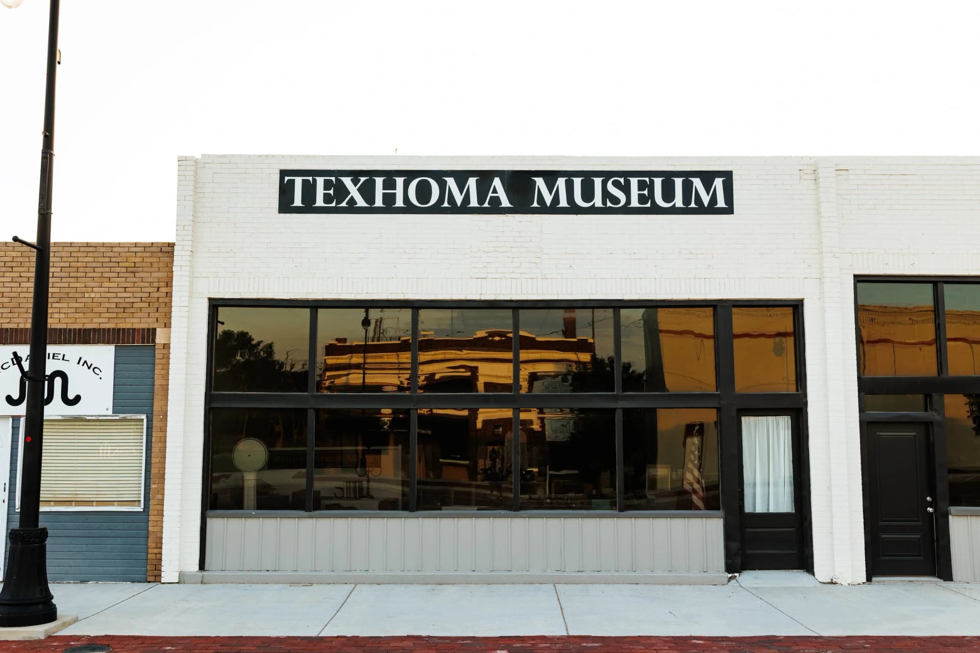
Railroad growth and the business district
Texhoma’s modern shape began when the Rock Island Railroad reached the area in 1901. The post office named Loretta was moved to the new tracks and renamed Texhoma, tying the town’s identity to rail access from the start. A historical marker says the settlement grew from five families to about 1,000 people by 1908, with many stores, three banks, two schools, three churches, and five wagon yards serving farms and ranches across nearby counties in both states.
The Texas State Historical Association says Texhoma was platted in 1906 and had a population of 300 by 1910. That early growth made the town more than a roadside stop, even as the later border correction changed which state claimed the downtown core. Ranching and grain production remain the leading industries in Texhoma, and natural gas also remains significant, a reminder that the town’s economy still depends on land use, transport, and access to regional markets.
The Great Depression and dust storms pushed people out, and the Oklahoma Historical Society notes that the Oklahoma-side population fell to 577 in 1940. The 2020 census counted 596 people on the Oklahoma side, which shows how small the town remained after those early shocks. Even so, the community’s location at a highway crossing and state border keeps it unusually visible inside a sparsely settled county.
Schooling across two states
Texhoma’s school system is where the border becomes part of daily life instead of just local lore. The town history page says students in both Texas and Oklahoma are served jointly by an unusual bi-state arrangement, and the Oklahoma Historical Society says Texas and Oklahoma enacted that school-sharing arrangement in 1976. Under the original setup, Texas handled kindergarten and grades five through eight, while Oklahoma handled grades one through four and high school.
That arrangement later changed so Texas serves kindergarten through fourth grade and Oklahoma serves fifth through twelfth. The shift shows that even a small town can require unusually specific cross-border agreements when families live on one side and school responsibilities span both. Reporting on the district says graduates may attend public universities in either Texas or Oklahoma and be eligible for in-state tuition in either state, a practical benefit that follows directly from the town’s shared-school structure.
For parents, students, and school staff, the arrangement turns the border into a planning tool. The line does not just separate addresses, it helps organize grade levels, district responsibilities, and the post-graduation options that students can use when they leave Texhoma.
Why Texhoma still matters in Texas County
Texhoma matters because Texas County is small enough for one border town to carry more weight than its population suggests. The U.S. Census Bureau counted 21,384 residents in Texas County in the 2020 census and estimated 20,577 residents in 2024, and 54.1% of county residents were Hispanic or Latino in the 2020 to 2024 estimates. In a county of that size, a town that straddles two states is not a sideshow, it is part of the county’s basic geography.
That geography helps explain why Texhoma remains useful as a local planning case. Its separate municipal governments, its split business district, and its bi-state school arrangement all show how a line on the map can shape where people work, where children go to school, and how institutions divide responsibility. For residents who know the town by its roads, its schools, and its farm and energy economy, Texhoma is still the clearest proof that the border is not a feature of the landscape, it is part of the town’s operating structure.
This article was produced by Prism’s automated news system from verified source data, official records, and press releases, then run through automated quality and moderation checks before publishing. The system is built and supervised by the people who set the standards it runs under. Read our full AI policy.
Did this article answer your question?