Morgan Nesbit project could disrupt summer recreation near Eagle Cap
A 86,500-acre Forest Service project next to Eagle Cap could alter roads, trails and hunting access just as summer use peaks. County leaders already pushed back on road closures.
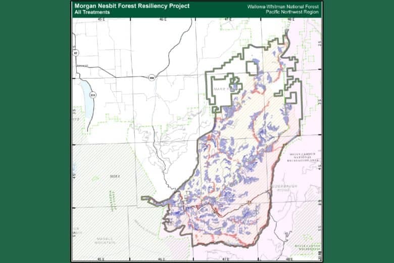
Union County residents who head toward Eagle Cap, the Imnaha country and Hells Canyon for summer trips could run into changing road conditions, thinning activity and temporary detours tied to the Morgan Nesbit Forest Resiliency Project. The U.S. Forest Service has framed the 86,500-acre plan as a landscape-scale effort to improve forest resiliency, sustainability and hydrologic functioning, but the work footprint sits directly beside the most heavily used wilderness in northeast Oregon.
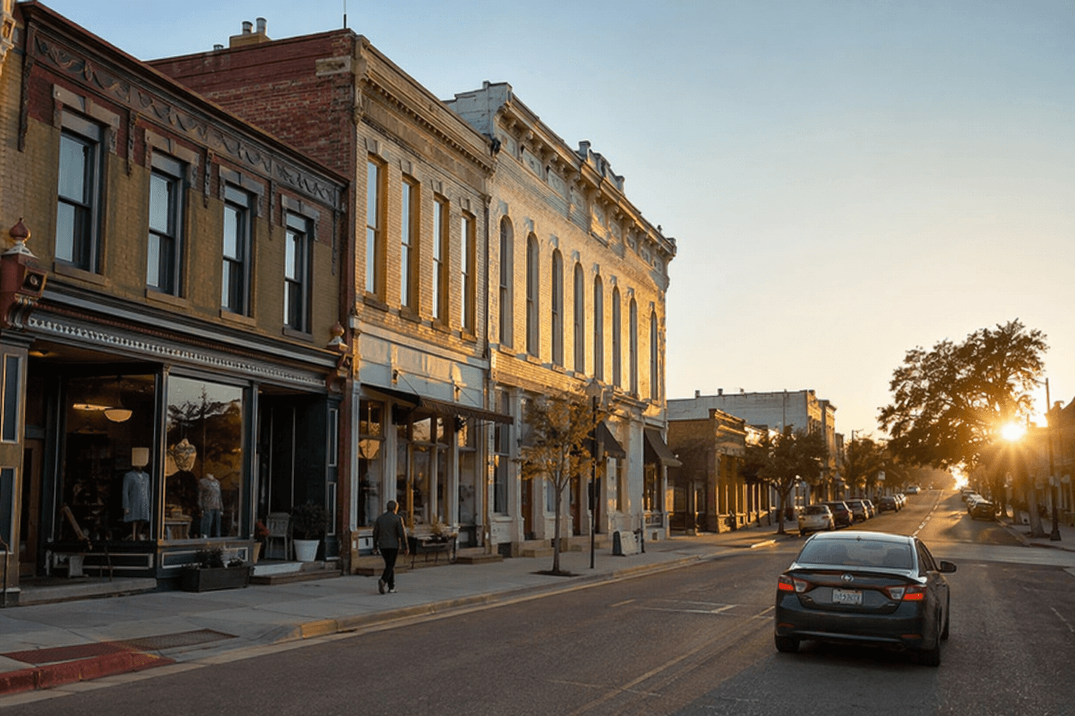
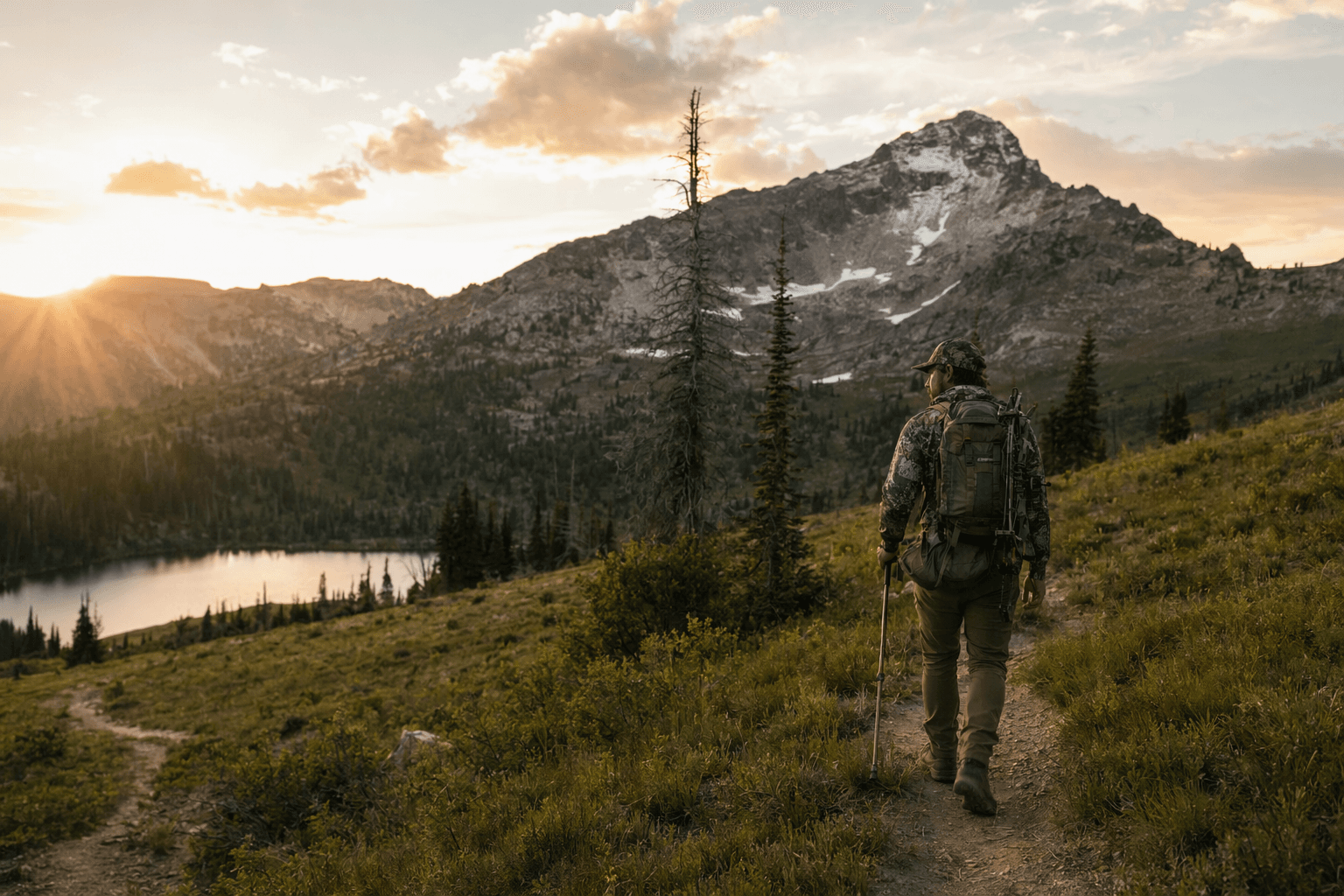
The project covers about 48,500 acres in the Wallowa Valley Ranger District and 38,000 acres in the Hells Canyon National Recreation Area, roughly 20 miles southeast of Joseph. It lies between the Wallowa Mountains and the Imnaha River canyonlands, right up against the 359,991-acre Eagle Cap Wilderness, which the Forest Service says has about 535 miles of trails. High-elevation routes there are typically snow-free from mid-July through September, the same window when hikers, hunters, fishers and campers are most likely to be moving through the area.
The agency has described possible treatments as commercial thinning of trees under 21 inches in diameter, noncommercial thinning of trees under 9 inches, shaded fuel breaks, prescribed fire, aspen and meadow enhancement, road decommissioning and culvert work. Those are the kinds of operations that can change whether a spur road stays open, whether a trailhead is easy to reach, or whether a summer route becomes a work zone for part of the season.
That access issue has already played out politically. Wallowa County commissioners objected after the Forest Service sought authority to close roads without county approval, and county records later said the board withdrew that objection after the agency agreed to drop the proposed closures. The project also drew broader criticism from conservation groups, including the Greater Hells Canyon Council, which said in 2023 that nearly 87,000 acres were included and 17,586 acres were slated for commercial logging, with more than half of that in the Hells Canyon National Recreation Area.
The project has been under discussion since 2020, and the Forest Service opened a 45-day objection period on May 7, 2025, which closed June 20, 2025. The agency later approved a modified version on February 11, 2026. For anyone planning a summer trip into Eagle Cap or the Hells Canyon edge, the practical question now is not whether the landscape will change, but where the work will land first and which routes will be affected when peak season arrives.
The Forest Service also says the Eagle Cap area carried deep Indigenous use long before it became a wilderness destination, with ancestors of the Nez Perce occupying the area around 1400 A.D. and using it for hunting and huckleberry gathering. It became a primitive area in 1930, a wilderness area in 1940, and was folded into the National Wilderness Preservation System in 1964.
This article was produced by Prism’s automated news system from verified source data, official records, and press releases, then run through automated quality and moderation checks before publishing. The system is built and supervised by the people who set the standards it runs under. Read our full AI policy.
Know something we missed? Have a correction or additional information?
Submit a Tip