Oregon State Police seek riders filmed on closed Umatilla Forest roads
Riders on closed Mount Emily roads put Union County’s public-land access and habitat rules at center stage, and state police later said the photographed subjects were identified.
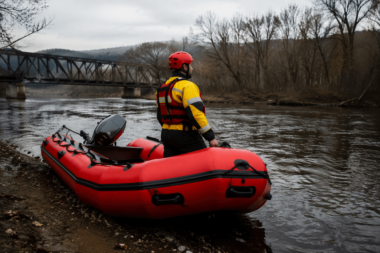
A March ride behind locked gates in the Mount Emily area drew Oregon State Police Fish and Wildlife into a public-lands case that matters far beyond one forest road. In Union County, where hunters, hikers and riders depend on open access in the Umatilla National Forest, the alleged travel-rule violation turned on a basic question: who is allowed on which roads, and when?
State police asked the public on April 28, 2026, to help identify two people photographed driving UTVs and ATVs on closed roads in the Mount Emily area, where the Umatilla National Forest says motor vehicles are limited to designated routes under its Travel Management Areas. The agency said the vehicles were behind locked gates, a detail that can trigger enforcement in a landscape where road status changes by season and by vehicle class. Later that same day, Elkhorn Media Group reported the subjects had been identified and no additional tips were needed.
The setting helps explain why the case drew attention in Union County. Mount Emily is an official recreation area in the Walla Walla Ranger District, and the nearby Mt. Emily Sno-Park is reached from Interstate 84 Exit 243, also known as the Mt. Emily Exit. The U.S. Forest Service says the Umatilla National Forest spans 1.4 million acres in southeast Washington and northeast Oregon, making its road system a central piece of how people reach the woods for recreation and wildlife-related use.
The forest’s Motor Vehicle Use Map collection is the rulebook for that system. The Umatilla National Forest says the MVUM set includes 21 maps printed front and back on 11 sheets and updated annually. The forest also says it completed Subpart B of the 2005 Travel Rule in 2009 and finished its Subpart A travel analysis in 2015, giving the closure network a specific administrative history behind the latest enforcement notice.
Fish and Wildlife involvement reflects how Oregon handles public-land violations that affect more than a single road. OSP’s TIP page says trespassing, littering, theft, property damage and road-closure violations affect all Oregonians and create enforcement challenges. Protect Oregon’s Wildlife describes TIP as a collaboration among Oregon State Police Fish & Wildlife, the Oregon Department of Fish and Wildlife and the Oregon Department of Justice. OSP’s reporting guidance says photo-based tips can lead to identification and, in some cases, a reward or hunter preference points.
For Union County users of the forest, the message is direct: a locked gate near Mount Emily is not a suggestion. It is a boundary, and crossing it can bring wildlife officers into a case that is as much about access and stewardship as it is about two riders in the wrong place.
This article was produced by Prism’s automated news system from verified source data, official records, and press releases, then run through automated quality and moderation checks before publishing. The system is built and supervised by the people who set the standards it runs under. Read our full AI policy.
Did this article answer your question?