Severe thunderstorm watch issued for Union County, eastern Oregon
Union County was under a severe thunderstorm watch through 8 p.m., and a warning later hit Lehman Hot Springs with 70 mph gusts and hail. Afternoon travel and outdoor work were at risk.

Union County was under the kind of short-fuse weather alert that can disrupt an afternoon in a matter of hours, with thunderstorms possible after 1 p.m. and the watch running until 8 p.m. PDT. The National Weather Service in Pendleton issued Severe Thunderstorm Watch 248 at 12:52 p.m. on May 28, placing Union County in a broad regional watch that also covered 11 other Oregon counties and parts of eastern Oregon and Idaho.
The main hazards were damaging wind, hail and brief downpours. NWS Pendleton said thunderstorms capable of strong or damaging gusts and isolated large hail were expected to affect the region that afternoon and evening, with heavy rain also raising the risk of rapid runoff in some areas. The watch bulletin listed La Grande, North Powder, Union and Wallowa among the towns in the affected area, showing that the threat was not limited to remote ground but reached the populated corridor communities many Union County residents move through every day.
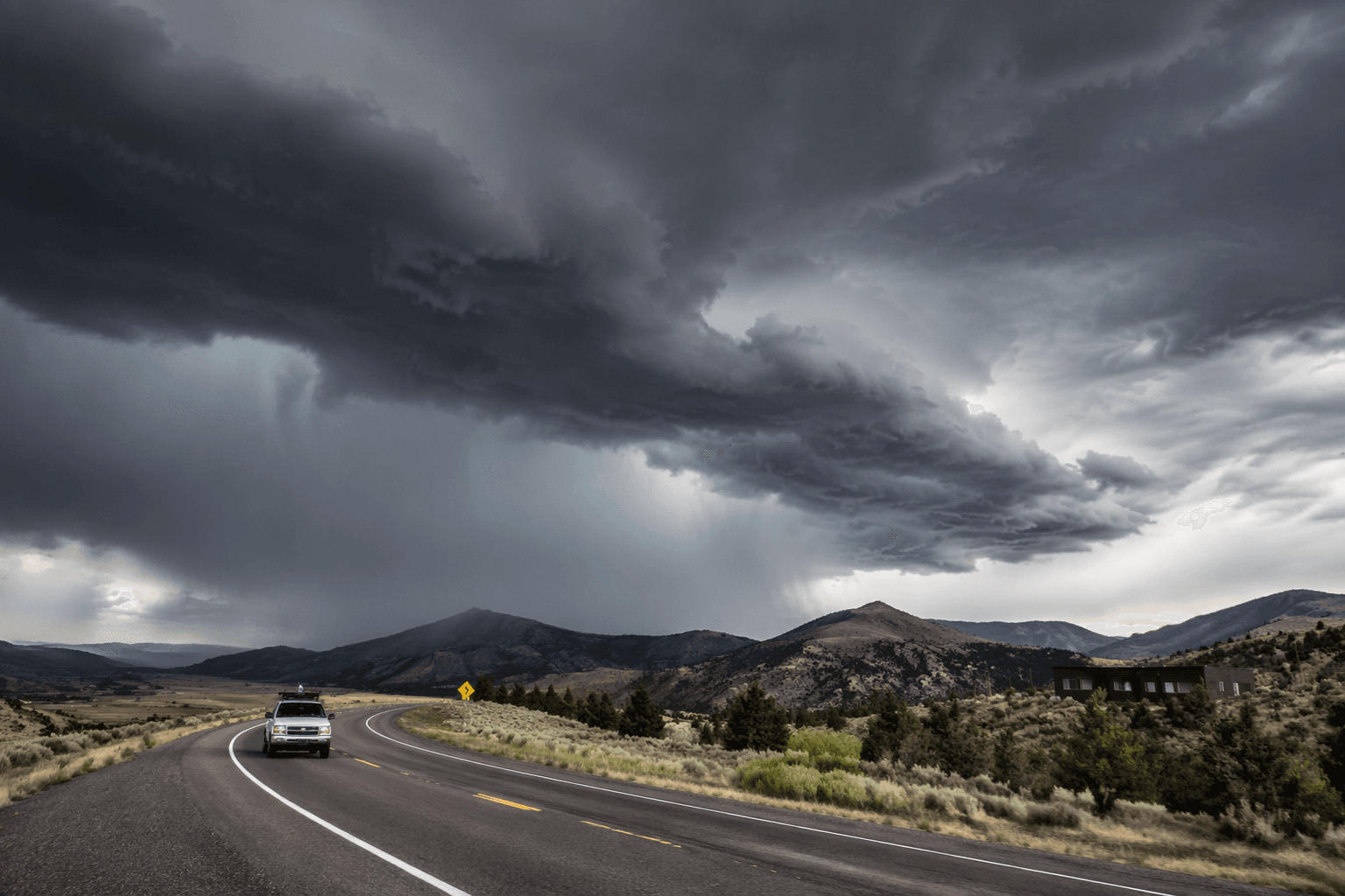
That mattered for the afternoon commute, outdoor events and ranch work. Drivers on I-84 and county roads faced the possibility of reduced visibility, debris and sudden rain bursts, while people working outside in open country had little protection if winds or hail arrived quickly. The practical response was to stay weather-aware, keep a backup plan for outdoor gatherings and pay close attention to warnings as conditions changed through the afternoon.
The watch did not stay theoretical for long. At 4:57 p.m., NWS Pendleton issued a severe thunderstorm warning for west central Union County and south-central Umatilla County after a storm near Lehman Hot Springs was detected moving northwest at 20 mph. The warning cited 70 mph wind gusts and ping-pong-ball-size hail, and it named Lehman Hot Springs and Starkey as impacted locations. That warning turned the earlier watch into a direct local threat and showed how quickly the situation could escalate.

NWS Pendleton’s guidance draws a clear line between the two alerts: a watch means people should be alert and have a plan, while a warning means severe weather has been detected or is imminent and protective action is needed. In a county where storms can move fast across open ground, that difference can decide whether a ranch crew, a school pickup line or a roadside drive gets caught in the worst of it.
This article was produced by Prism’s automated news system from verified source data, official records, and press releases, then run through automated quality and moderation checks before publishing. The system is built and supervised by the people who set the standards it runs under. Read our full AI policy.
Did this article answer your question?