Union County Commissioners Unanimously Adopt Updated Community Wildfire Protection Plan
Union County has 16 designated wildfire-risk communities. Commissioners Scarfo, Seavert, and Anderes voted 3-0 April 1 to adopt the plan that decides which get treated first.
Matt Scarfo, Jake Seavert, and Paul Anderes cast unanimous votes April 1 to adopt Union County's updated Community Wildfire Protection Plan, a decision that determines which neighborhoods get first priority for fuel reduction projects and, critically, which grant applications the county can legally submit this fire season and beyond.
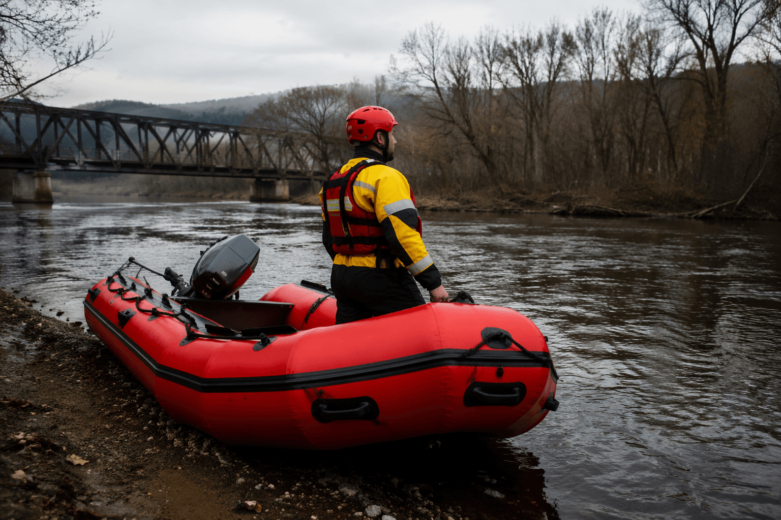
The vote, taken during a regular commission meeting, caps roughly two years of technical work and interagency coordination involving the U.S. Forest Service, the Oregon Department of Forestry, local fire districts, and Firewise Communities. Without a current plan on file, Union County would be ineligible for a broad category of state and federal wildfire mitigation funding that requires an active CWPP as a prerequisite for application.
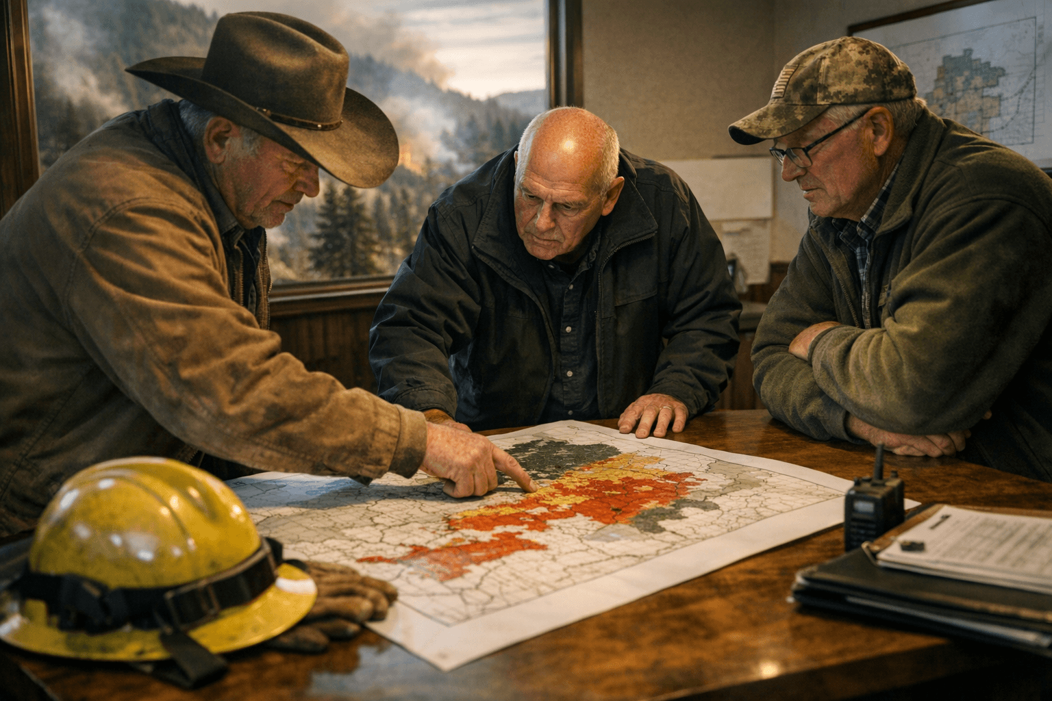
Union County's first wildfire protection plan dates to 2005, with a revision in 2017. That prior update identified 16 wildland-urban interface communities carrying the highest risk ratings, a list that spans the county's full geographic range: Morgan, Cove, Mt. Emily, Palmer, Perry/Hillgard, Stubblefield, Beaver Creek Watershed, Catherine Creek, Blue Springs, Medical Springs, Kamela, Pumpkin Ridge/Ruckle, Elkanah, Clark, Rysdam, and Starkey. The 2026 revision builds on that hazard framework with updated mapping and deliberate alignment with neighboring counties' wildfire plans, meaning cross-county fuel reduction corridors can now be proposed and funded on a coordinated basis.
The plan carries no regulatory weight. It does not require property owners to spend money or take any specific actions. What it does is give fire districts, the county's emergency managers, and federal land managers a jointly endorsed, science-based document that can direct where treatments happen first. A staff report presented to the commission identified grant eligibility, risk-based prioritization, interagency coordination, and planning authority as the plan's four core functions. The document complements, rather than duplicates, Union County's existing Natural Hazard Mitigation Plan.
The practical stakes for communities mapped inside the WUI zones are direct: when Oregon Department of Forestry or federal agencies evaluate competing grant applications, counties with current, comprehensive CWPPs rank more competitively. That gap can determine whether a defensible-space outreach campaign in Cove or a fuel reduction project along Catherine Creek advances from a planning document to funded work in the field. The accountability test for commissioners and partner agencies now shifts from adoption to delivery: specific acreage treated, evacuation routes hardened, and defensible-space targets met in the priority zones.
Property owners in or near the 16 identified communities have a clear entry point into the process. Contacting your local fire district is the most direct way to learn whether your parcel falls within a treatment priority area and what defensible-space standards apply to your property. Union County's emergency management office can provide access to the plan itself and information on how community members can participate in upcoming mitigation activities as they are scheduled.
The 3-0 vote formally closes a planning cycle that began in 2024. The county now moves into the implementation phase, where the plan's prioritized zones and recommended treatment types become the foundation for this year's competitive grant submissions.
This article was produced by Prism’s automated news system from verified source data, official records, and press releases, then run through automated quality and moderation checks before publishing. The system is built and supervised by the people who set the standards it runs under. Read our full AI policy.
Did this article answer your question?