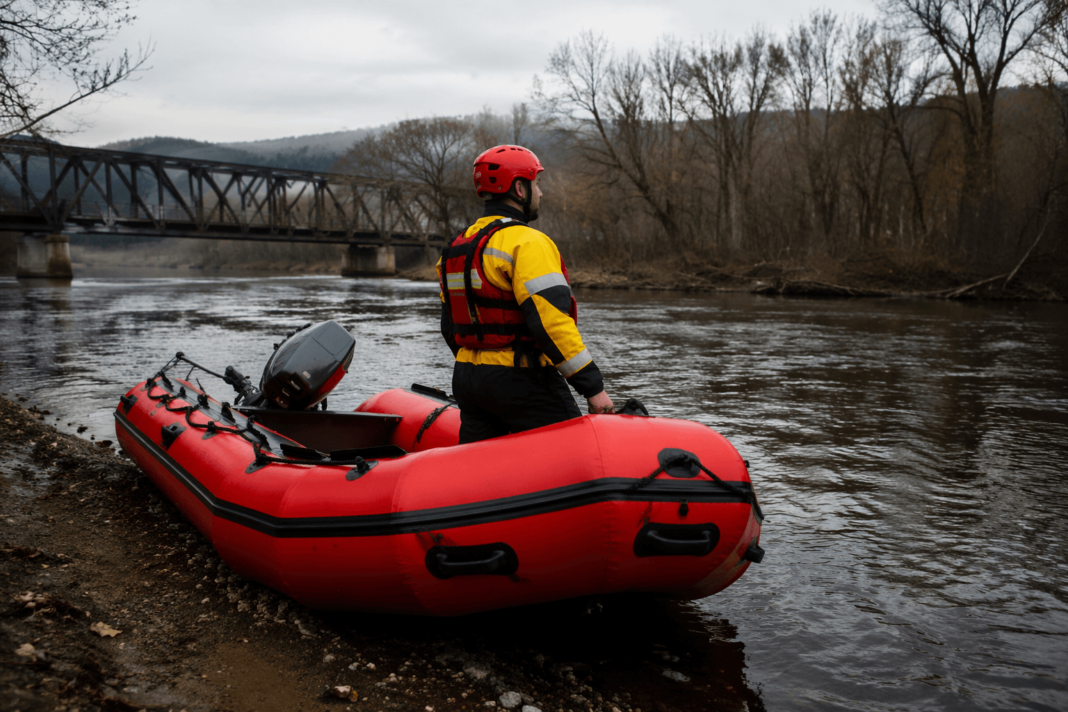
Wallowa-Whitman National Forest Plans Prescribed Burns Near La Grande
Prescribed burns near La Grande could close forest roads for several days; call 541-962-8500 for updates from the La Grande Ranger District.
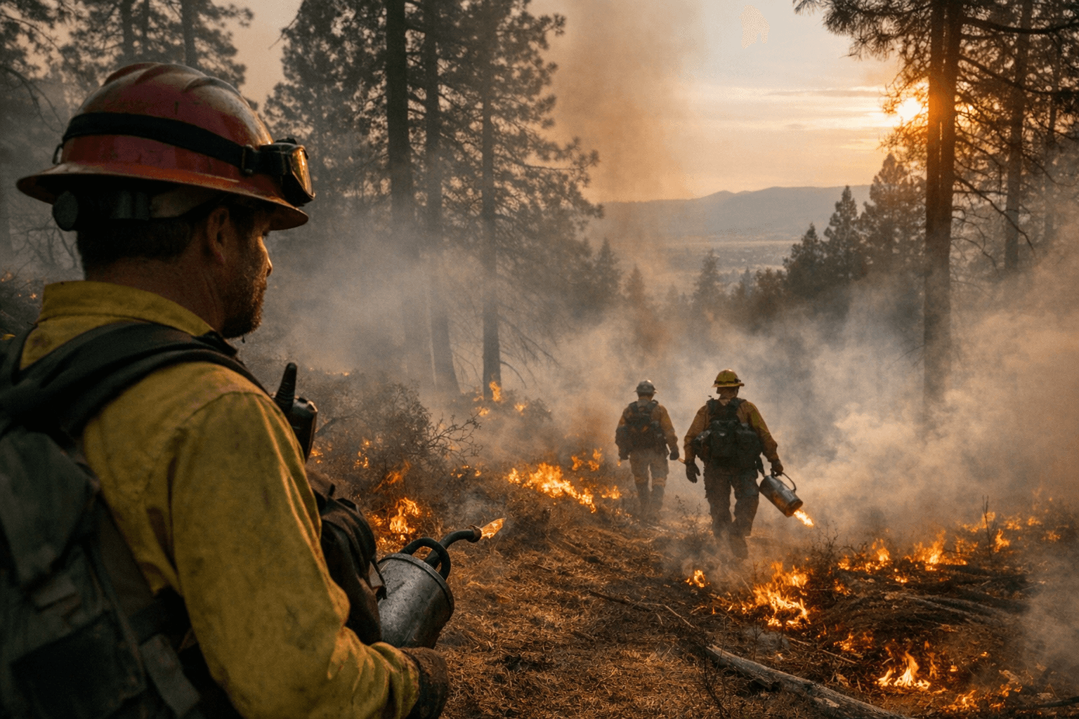
Near La Grande, the Wallowa-Whitman National Forest announced plans to conduct prescribed fire operations, including pile burning of debris from recent thinning and fuel-reduction projects, with burns proceeding as weather and smoke conditions allow. The March 17 press release marked the latest step in an effort that began with fall 2025 planning, when forest officials first announced burns across all districts, with operations expected to continue through the spring.
Pile burning involves firefighters igniting piles of forest debris, including material generated during tree thinning, cutting, and other maintenance work already completed on the forest. The Forest Service described the purpose plainly: "We use prescribed fires to help reduce overgrown vegetation to help protect local communities, infrastructure and natural resources from wildfires."
The burns are coordinated with the Blue Mountain Prescribed Fire Council and other interagency partners. The Forest works closely with the Oregon Department of Forestry under the state's Smoke Management Plans to determine when, where, and how much is burned each day. Specialists write individual burn plans for every prescribed fire, accounting for temperature, humidity, wind, vegetation moisture, and conditions for smoke dispersal before any ignition occurs.
Forest Service offices in Joseph, Enterprise, La Grande, and Baker City have all been notified of the upcoming operations. County emergency management officials will be notified when burning actually begins, and crews will monitor all fires until they are confirmed out.
Residents near burn areas should expect visible smoke from nearby communities at times. Drivers encountering smoke on roads near burn units are advised to slow down and turn on headlights. Burn areas may be closed to the public for several days for safety, and warning signs will be posted along roads near active prescribed fire areas. Weather conditions will be evaluated in the hours before each burn, and operations may be canceled if conditions fall outside the parameters set in the burn plan.
The Pacific Northwest Region's PNW Prescribed Fire Tracker, an interactive map, will be updated to show which burn units are actively burning once operations begin; the map also provides acreage and status information for each unit. Real-time air quality information is available at fire.airnow.gov and airnow.gov. Additional updates are available through the Wallowa-Whitman National Forest's Facebook and X pages, the Blue Mountains Prescribed Fire Council Blog, InciWeb, and the Blue Mountain Interagency Dispatch Center.
Ranger stations can be reached directly with questions: the La Grande Ranger District at 541-962-8500, the Wallowa Mountains Office at 541-426-5546, and the Whitman Ranger District at 541-523-6391. Hells Canyon National Recreation Area contacts include the Oxbow office at 541-785-3395, Clarkston at 509-758-0616, and Riggins at 208-628-3916.
This article was produced by Prism’s automated news system from verified source data, official records, and press releases, then run through automated quality and moderation checks before publishing. The system is built and supervised by the people who set the standards it runs under. Read our full AI policy.
Did this article answer your question?