Seminole Scouts shaped Val Verde County's rugged Rio Grande frontier
Val Verde County’s canyons and Rio Grande crossings helped define the Seminole Scouts’ frontier role. Today, Amistad and nearby historic markers are the clearest traces of that memory.
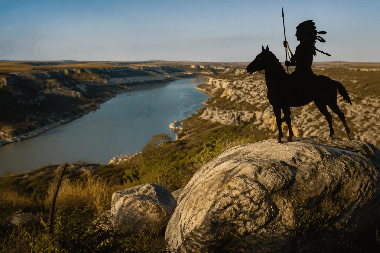
Val Verde County’s rugged borderland was not just a backdrop for the Seminole Scouts. Steep canyons, isolated draws, long river corridors, and hidden crossings along the Rio Grande gave the scouts their purpose, because this was terrain that rewarded trackers who could move fast, read the land, and find paths others missed. The same landscape that now draws visitors to Amistad National Recreation Area once helped shape military patrols and frontier defense in southwest Texas.
A borderland shaped by geography
The Seminole Scouts became valuable because the Rio Grande canyon country was hard country. In Val Verde County, the river corridor and nearby waterways cut through rough country in ways that created natural cover, concealed trails, and strategic crossings. That geography mattered to the U.S. Army, which needed people with the skills to operate in a place where distance, heat, and broken terrain could slow conventional troops.
The National Park Service places that story inside Amistad National Recreation Area, where the same landscape now supports hiking, water recreation, archaeology, and wide-open views. That modern setting gives the county’s frontier history a physical anchor: the canyon walls and river bends are not just scenic features, but part of the military and cultural terrain that made the Seminole Scouts so important.
Who the Seminole Scouts were
The Texas State Historical Association identifies the Black Seminole Scouts as descendants of escaped slaves and Seminole Indians who moved through Florida, Indian Territory, Mexico, and Texas before serving the U.S. Army. That broader migration history is essential to understanding their place in Val Verde County. These were not generic cavalry auxiliaries; they brought knowledge of borderlands movement and survival that made them unusually effective as trackers and combatants.
Michael L. Tate’s history, “The History of Black Seminole Scouts: From Fort Duncan to Fort Clark,” was published August 1, 1995 and updated September 30, 2020. Its title alone shows how the scouts’ story stretches across a wider frontier system of forts and border posts, with Val Verde County sitting inside that military geography rather than apart from it.
How Val Verde County fit into the frontier system
Val Verde County’s importance came from its position along the Rio Grande, where the borderlands were difficult to police and easy to cross if you knew the land. The scouts’ tracking skills mattered because canyons, draws, and waterways created natural routes for movement and concealment. In that setting, military patrols needed guides who understood where a trail might disappear into rock, brush, or riverbank.
That is why the scouts’ history belongs in a county guide, not just a military history. The county’s land forms were part of the work. When readers stand at Amistad and look across the canyon country, they are seeing the same kind of terrain that made the Seminole Scouts strategically useful in the late 1800s.
What survives in local memory
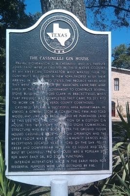
The clearest physical markers linked to the Seminole Scouts are nearby, and they help place Val Verde County within the larger southwest Texas heritage map. The Texas Historical Commission atlas lists Seminole Scout Camp on Fort Clark as Historical Marker 12933, Atlas Number 5271012933, at US 90 in Brackettville, Kinney County. Texas Time Travel lists Seminole Camp as established in 1870, giving the site a firm frontier-era date.
Texas Time Travel also includes the Black Seminole Scout Community, Seminole Indian Scout Cemetery, and Fort Clark among its heritage listings. Those names matter because they show the scout community is still recognized in Texas heritage records, even when the surviving landscape is spread across county lines. For readers in Val Verde County, that means the story is not confined to one monument or one museum label. It is part of a broader borderlands memory stretching across the region.
What to look for at Amistad and beyond
Amistad National Recreation Area is the best place to connect the scenery to the history. The canyon country and river environment show why scouting mattered, while archaeology and preserved landscape help keep the frontier setting legible. The area is also a reminder that Val Verde County’s history is not only about military movement; it is about migration, race, and survival in a border region where the land itself shaped outcomes.
A practical heritage route starts with the Amistad landscape in Val Verde County, then extends outward to the marked scout sites tied to Fort Clark in Kinney County. That wider circuit gives the strongest picture of how the Seminole Scouts lived, moved, and were remembered in southwest Texas. In this part of the Rio Grande frontier, the land is still doing part of the storytelling.
This article was produced by Prism’s automated news system from verified source data, official records, and press releases, then run through automated quality and moderation checks before publishing. The system is built and supervised by the people who set the standards it runs under. Read our full AI policy.
Did this article answer your question?