Texas Monthly says border barrier plan threatens Langtry landscape
A $2.6 billion barrier and road plan could cut through Langtry land, threaten 5,000-year-old rock art and still do little in a canyon gorge.

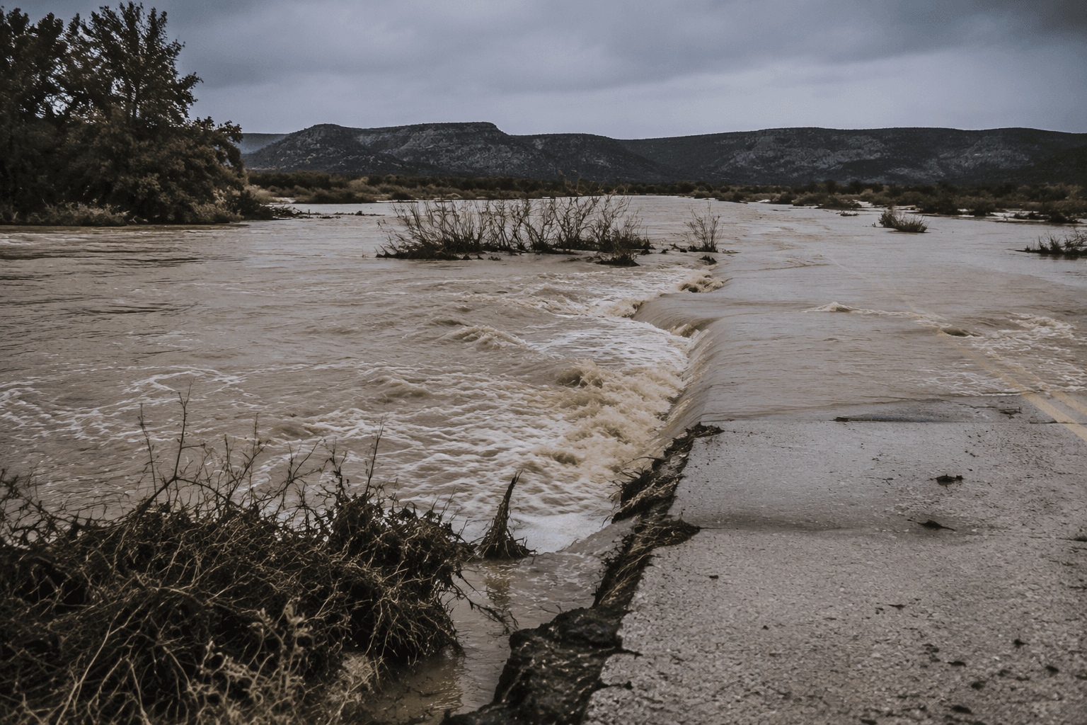
A $2.6 billion federal contract for a four- to six-foot steel vehicle barrier and new patrol roads now reaches into the Lower Canyons near Langtry, where the Rio Grande runs through steep rock walls and Lake Amistad closes off the southern end of the route. In that stretch of Val Verde County, the question is not simply how much money Washington is willing to spend, but whether the work would change anything on the ground.
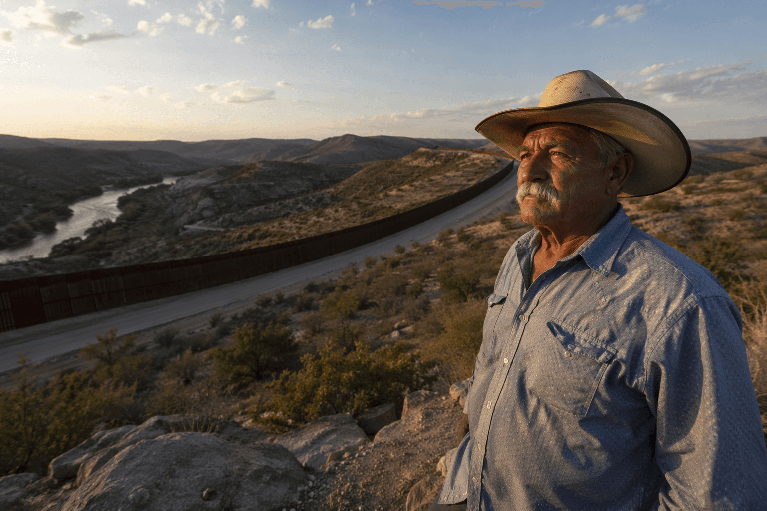
The project covers a 156-mile stretch from Sanderson to Lake Amistad and could affect land near Langtry, including a ranch owned by Raymond Skiles Jr., a retired Big Bend National Park wildlife biologist. Skiles’ family has owned property near Langtry since the 1940s, and he recently received a federal letter suggesting a physical wall could run through his land. Across the Big Bend region, an estimated 400 landowners received access letters or warnings that eminent domain could follow if contractors were not allowed onto their property.
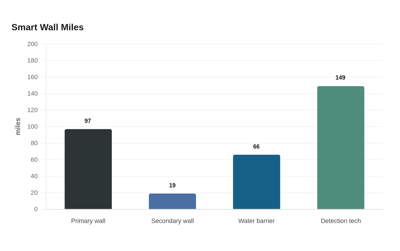
The barrier plan is smaller than the 30-foot wall once floated for the same region, but it still brings a lot of machinery into a remote corridor. U.S. Customs and Border Protection said its Smart Wall contracts would add 97 miles of primary wall, 19 miles of secondary wall, 66 miles of waterborne barrier and about 149 miles of detection technology, along with roads, cameras and lighting. The agency said the five contracts totaled $3.3 billion and pushed total Smart Wall contracts to $8 billion, signaling that the Lower Canyons plan is part of a much larger federal buildout.
That buildout collides with one of the most sensitive cultural landscapes in Texas. The Lower Pecos Archaeological District was designated a National Historic Landmark in 2021, and some of the rock art in the region is more than 5,000 years old, placing it among North America’s oldest mural traditions. In June, the Department of Homeland Security waived environmental laws to speed border barrier work in Big Bend, and one account said 28 environmental and cultural resource laws were waived for the project.
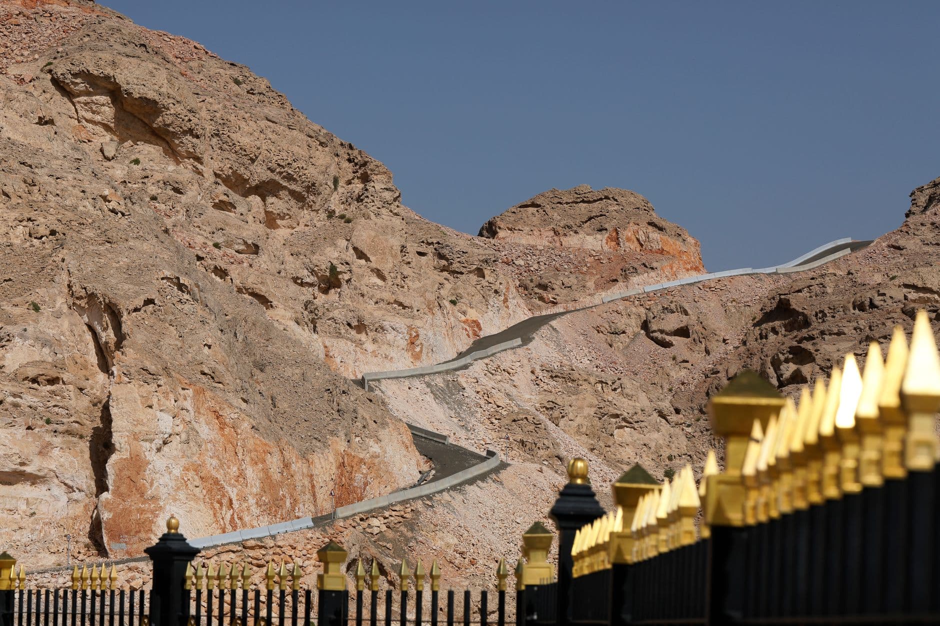
The terrain itself helps explain why the plan has drawn skepticism from landowners and preservation advocates. At Boquillas Crossing in Big Bend National Park, crossing the Rio Grande on foot is legal, underscoring how differently this border functions from one place to the next. In the Langtry corridor, with canyon walls, a muddy river channel and the waters of Lake Amistad, a barrier may add disturbance, road cuts and legal fights over access without doing much to alter crossings that the landscape already constrains.
This article was produced by Prism’s automated news system from verified source data, official records, and press releases, then run through automated quality and moderation checks before publishing. The system is built and supervised by the people who set the standards it runs under. Read our full AI policy.
Did this article answer your question?