Flash Flood Warnings Hit Vinton County, Southeastern Ohio With Up to 3 Inches of Rain
Most flood deaths happen in vehicles — a warning that hit home as flash flood alerts struck Vinton County on April 1, with roads swamped and more rain forecast through April 6.

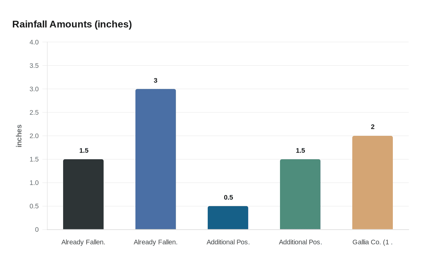
The National Weather Service issued flash flood warnings for Vinton County on April 1, 2025, and attached a number that explains why the agency takes these events so seriously: the majority of flood deaths occur in vehicles. With Doppler radar confirming between 1.5 and 3 inches of rain had already fallen across the warned area and an additional half-inch to 1.5 inches still possible, the NWS Charleston, WV forecast office activated its "Turn Around, Don't Drown" advisory for a wide swath of southeastern Ohio and beyond.
McArthur, the county seat, and Lake Hope State Park were among the Vinton County locations specifically listed under the flash flood warning. The alert also covered Athens, Gallia, Jackson, Meigs, and Washington counties in Ohio, as well as Mason County in West Virginia. Emergency management officials confirmed multiple roads across the region had flooded by evening. In Vinton County, U.S. Route 50 east of McArthur has historically been among the first road segments to go underwater during comparable rainfall events, where Raccoon Creek and its tributaries drain quickly off the Appalachian foothills and overwhelm culverts and low-water crossings in the corridor. Small creeks, underpasses, and flood-prone highway shoulders are the typical failure points in events like this one.
A flash flood warning is triggered when flooding is either already occurring or imminent, typically when radar-confirmed rainfall rates exceed one inch per hour and saturated ground or undersized drainage channels cannot absorb the volume. The April 1 event cleared that threshold sharply: reports from neighboring Gallia County, just west of the Vinton County line, documented more than 2 inches falling within a single hour near Rio Grande.
That was only the first wave. The April 1 warnings opened a multi-day severe weather outbreak across the lower Ohio Valley lasting through April 6, 2025. The meteorological setup involved broad southwesterly flow funneled between a large trough over the western United States and a ridge along the southeast coast, a pattern that caused storms to train repeatedly over the same ground. A cold front on April 2 intensified the situation further, producing additional severe thunderstorms and several tornadoes across the region.
As rainfall totals climbed, the NWS issued a Flood Watch from 2:00 AM Thursday, April 3 through 8:00 AM Sunday, April 6, covering nine southeastern Ohio counties: Athens, Gallia, Jackson, Lawrence, Meigs, Morgan, Perry, Vinton, and Washington. Small stream flooding from excessive runoff was cited as the primary hazard throughout that window.
To report flooding to the National Weather Service, call toll-free 800-401-9535. Vinton County Emergency Management Agency Director Bill Faught can be reached at 740-596-3524, or by email at ema@vintoncountyohio.gov; the office is at 106 South Market Street in McArthur and is open weekdays from 8:30 AM to 4:00 PM. Enrolling in Ohio's Integrated Public Alert and Warning System through the state EMA website delivers flash flood warnings directly to your phone before water reaches the road.
This article was produced by Prism’s automated news system from verified source data, official records, and press releases, then run through automated quality and moderation checks before publishing. The system is built and supervised by the people who set the standards it runs under. Read our full AI policy.
Did this article answer your question?