Vinton County covered bridges preserve a rich history of local crossings
Vinton County’s covered bridges make a back-road day trip, from Ponn’s sandstone abutments near Wilkesville to Cox, Bay and Eakin Mill.
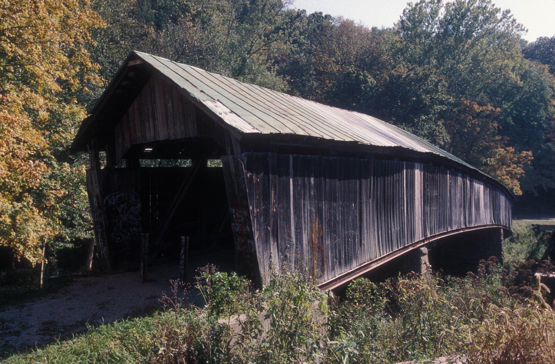
Vinton County’s covered bridges work best as a self-guided drive, because each stop tells a different part of the county’s road history. One site no longer carries traffic at all, while others still stand over Brush Creek, Raccoon Creek and Little Raccoon Creek, turning a simple outing into a tour of how the county was built.
Start at the Ponn Bridge site near Wilkesville
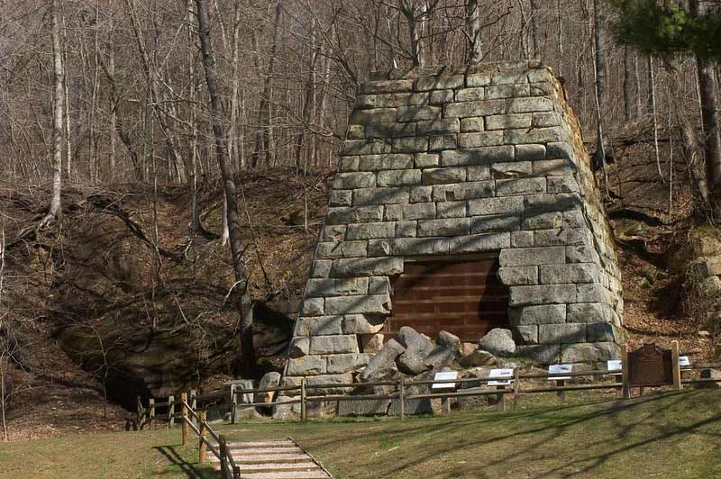
The clearest place to begin is the Ponn Bridge site, which the county’s covered-bridges brochure identifies as built in 1874 and also known as the Humpback Bridge and Gbeers Mill. The brochure says the bridge was destroyed by arson in 2013, but its massive sandstone abutments remain, so the stop still gives you a real sense of where the span once stood and how the crossing fit into the rural landscape.
The county visitors bureau treats the bridges as a visitor experience, not just an inventory, and its page includes directions to the Ponn site from Wilkesville. That makes Ponn the easiest first stop for a day trip: you get a concrete starting point, a local road name to follow, and a place where the photograph is no longer the bridge itself but the surviving stonework that framed it. A 2013 post titled “RIP Ponn Humpback Covered Bridge” shows how immediately the loss resonated with preservation-minded readers.
Follow the surviving crossings in a workable loop
1. Ponn Bridge site
Begin in Wilkesville and follow the visitor bureau’s directions to the Ponn site. Spend time with the sandstone abutments, because they are the bridge’s remaining footprint and the best reminder that covered bridges once anchored everyday travel, mill access and creek crossings in this part of the county.
2. Eakin Mill or Arbaugh Bridge
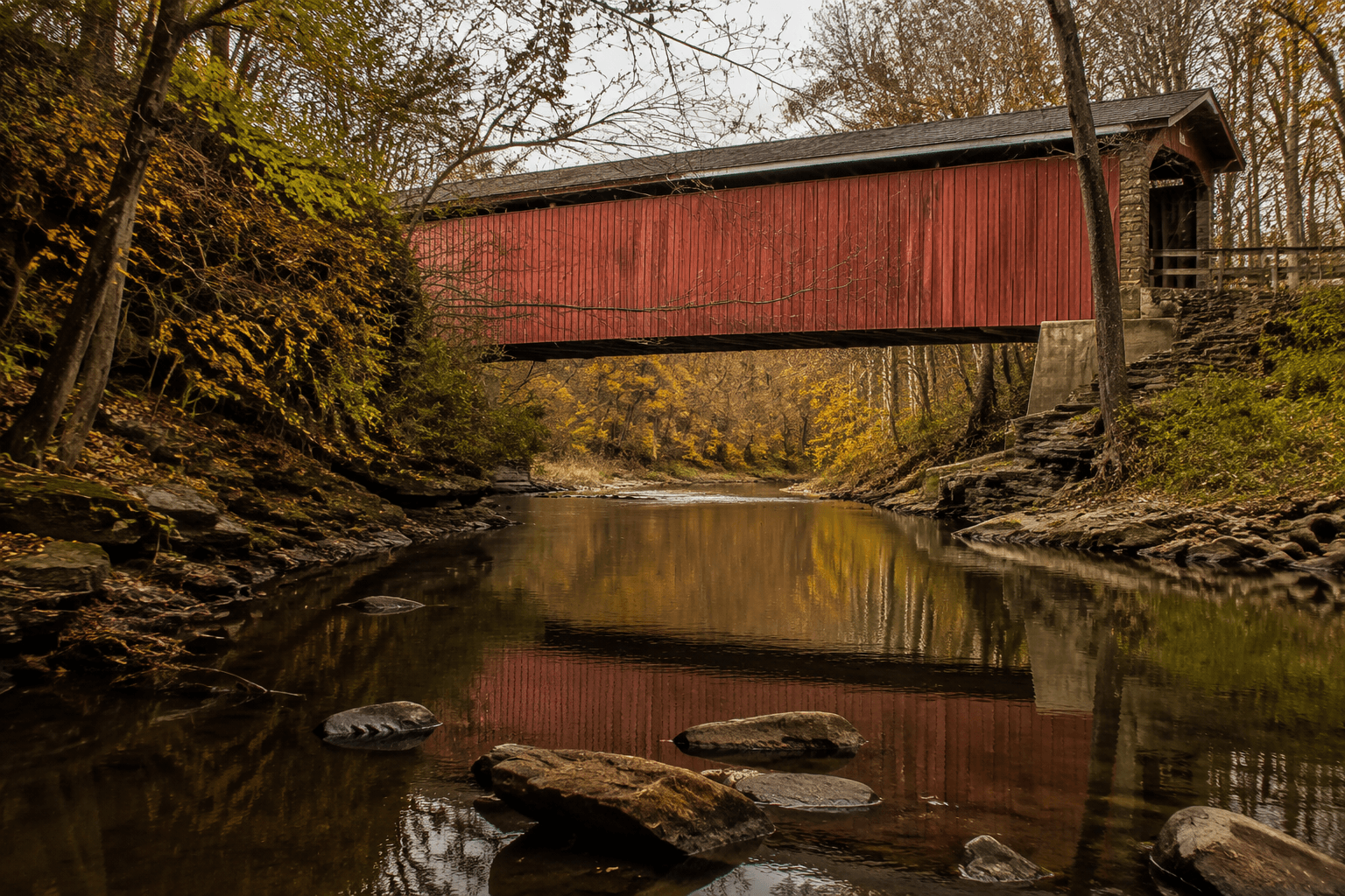
The Lost Bridges inventory identifies this Vinton County span as “Eakin Mill or Arbaugh” and says it crosses Raccoon Creek. The listing gives it an Inventory Number of OH/35-82-07#2, places it in Vinton Township, and ties it to Arbaugh, which helps you read the bridge as part of a specific settlement pattern rather than as a generic relic.
3. Cox Covered Bridge
A 2021 Bridges & Tunnels article describes Cox as a “short-but-sweet” covered Queenpost through truss over Brush Creek. That architectural detail matters on site, because it tells you Cox is not just another old wooden bridge, but a distinct type of handcrafted span that reflects the engineering choices made by local builders.
4. Bay Covered Bridge
The Bay Covered Bridge is identified as an 1876 span associated with Tinker Road and Little Raccoon Creek. It gives the route a different creek setting and a different road identity, which is useful if you want the outing to feel like a countywide circuit rather than a single roadside stop.
If you want the day trip to feel orderly, make Ponn the anchor stop, then add the surviving creek crossings one by one. The route works because each bridge sits in a different part of the county’s older road network, and each one gives you a different visual lesson: sandstone remains at Ponn, creek-side timber framing at Cox, a Raccoon Creek crossing at Eakin Mill or Arbaugh, and the Tinker Road setting at Bay.
What the bridges reveal about Vinton County
Taken together, the bridges show that Vinton County’s transportation history was once much denser than the handful of names most people know today. A county history page cites a 1972 Ohio Historical Society pamphlet saying five covered bridges remained in Vinton County at that time, which means the county was already down to a fragment of its earlier network more than half a century ago.
The larger Ohio picture helps explain why these crossings still draw attention. Ohio tourism materials say the state has more than 100 covered bridges overall, while Ashtabula County tourism describes Ashtabula County as home to 19 covered bridges and calls it the state’s covered-bridge capital. Against that backdrop, Vinton County’s surviving sites and remembered sites look less like isolated curiosities and more like a compact record of how rural Ohio moved people, goods and timber across creeks.
The county’s bridges also matter because they preserve names that would otherwise fade out of everyday use. Ponn is also remembered as the Humpback Bridge and Gbeers Mill; Eakin Mill survives in records as Eakin Mill or Arbaugh; Bay keeps its road and creek identity tied to Tinker Road and Little Raccoon Creek. Those names connect the structures to mills, waterways and local travel routes, which is exactly why the bridges still read as Vinton County landmarks instead of simple roadside artifacts.
How to make the most of the visit
A covered-bridges day in Vinton County works best when you treat it like a county road tour, not a quick photo stop. Start with the Ponn site from Wilkesville so you can use the visitor bureau’s directions, then move on to the surviving spans where the bridge itself is still in place. The best photos come from slowing down at the creek lines, where the bridge type, the waterway and the old road alignment all appear in one frame.
What stays with you after the drive is not just the age of the structures. It is the way a bridge built in 1874, a span recorded in 1876, a Queenpost over Brush Creek and a crossing over Raccoon Creek still map the county’s memory onto the landscape, one creek at a time.
This article was produced by Prism’s automated news system from verified source data, official records, and press releases, then run through automated quality and moderation checks before publishing. The system is built and supervised by the people who set the standards it runs under. Read our full AI policy.
Did this article answer your question?