Zaleski Backpack Trail offers 24-mile route through Vinton County forest
The Zaleski Backpack Trail is a 24-mile Vinton County backcountry route, and the map, blazes and emergency contacts matter before anyone commits to the forest.
The Zaleski Backpack Trail is a 24-mile natural-surface route in Vinton County, and that distance makes it a serious backcountry outing rather than a casual forest walk. SOHIO Trails says the route was established to provide backpacking opportunities and to introduce educational and historic aspects of the forest, which gives the trail a purpose beyond mileage alone.
What the route demands
The official descriptions do not all use the same number, and that matters when you are planning time, water, and overnight gear. SOHIO Trails lists 24 miles, the Vinton County Convention and Visitors Bureau describes the main trail as a 23.5-mile loop, and eBird refers to a 29-mile loop. When trail distances vary that much by source or measurement method, the safe assumption is that the route is long enough to require self-sufficiency from the start.
One trail resource also describes the Selinde Roosenburg Memorial Backpack Trail as the second-largest state-owned backpack trail. For hikers comparing it with shorter county trails or day loops, that size is the warning sign: this is a route that should be treated like a small expedition through Zaleski State Forest, not a quick outing with a hard finish time.
Access, maps, and emergency planning
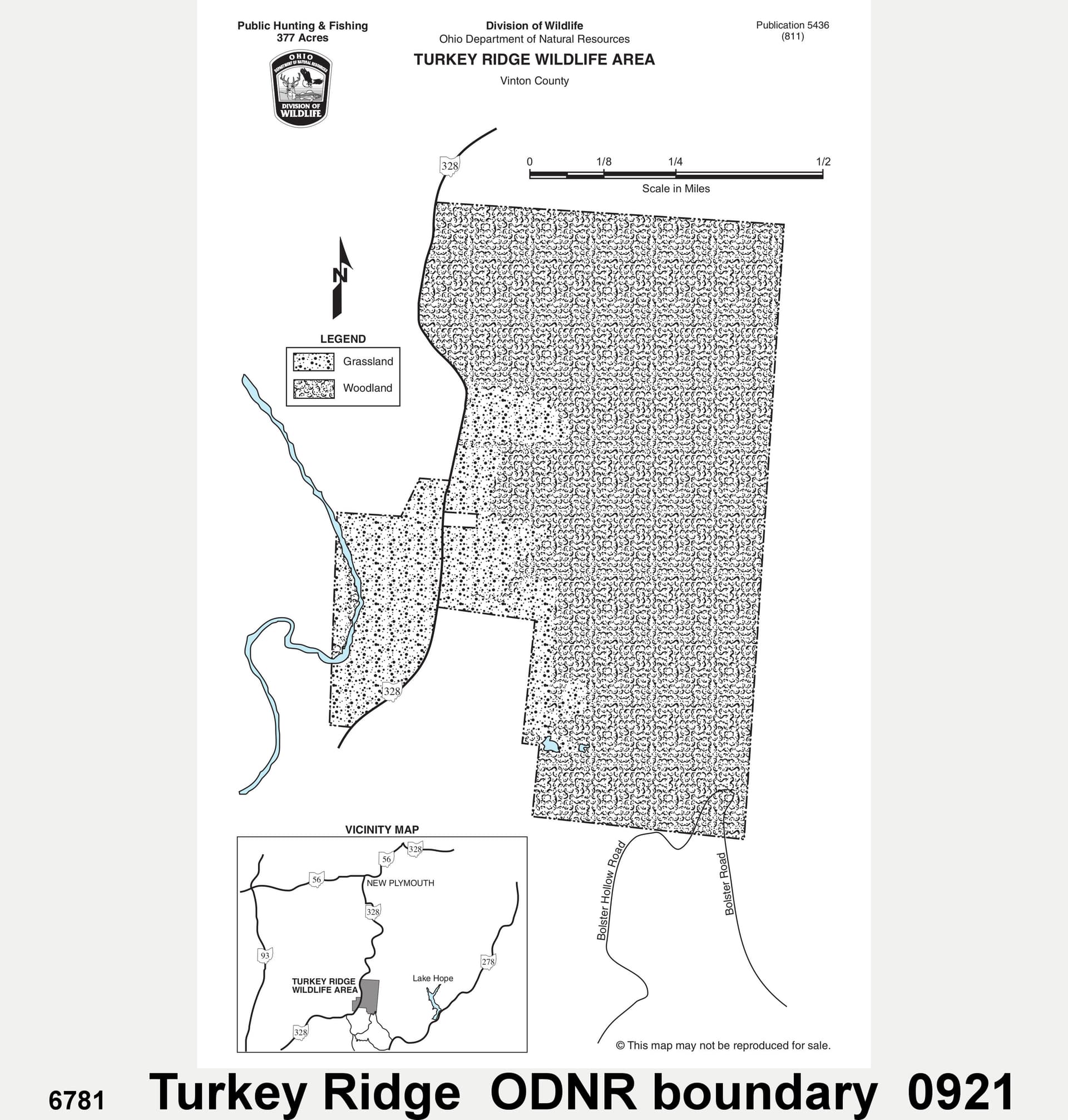
The Ohio Department of Natural Resources map gives the practical details that belong in a trip plan before you step onto the trail. It lists the Zaleski State Forest trailhead at 29681 State Route 278 in Zaleski and Lake Hope State Park at 27331 State Route 278 in McArthur as a nearby support point. The same map includes the Vinton County Sheriff’s Office at 740-596-5242, the Athens County Sheriff’s Office at 740-593-6633, and 911 for emergencies.
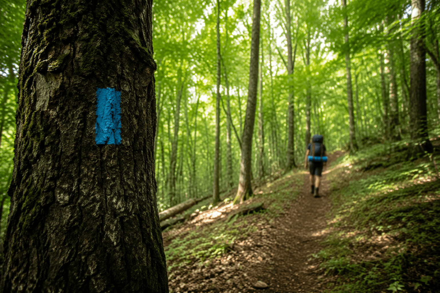
That access information is important because the trail crosses state Routes 278 and 56 at multiple locations, according to eBird. It is also marked differently from the side trails: the main loop uses orange blazes, while side trails are marked in white. If you are navigating in low light, after rain, or late in the day, those blaze colors and road crossings are the kinds of details that prevent a simple misstep from becoming a larger problem.
Why the trail is more than a mileage figure
The route has a memorial name, and the name points to a specific loss that ODNR tied to the forest itself. On June 24, 2022, the agency renamed the trail the Selinde Roosenburg Memorial Backpack Trail after Selinde Roosenburg died in March 2022 in a UTV rollover during a prescribed burn at Richland State Forest. Older references may still use the former Zaleski State Forest Backpack Trail name, so hikers looking up maps or reports need to check both versions.
That memorial designation gives the trail a human connection that is easy to miss if you only look at the mileage. It also helps explain why the route appears in ODNR materials under the renamed title, while some hiking sites and trail guides continue to use older wording for the same forest path. In practice, the name change is part of the route’s identity now, and it is one more reason to rely on the current map before setting out.
Historic landscape along the way
The trail was built to highlight the forest’s educational and historic side as well as its hiking potential. Trail guides and local forest descriptions point to historic features in the Zaleski area, including an old sawmill and a one-room schoolhouse in the broader forest landscape. That history gives the route a different character from a rail-trail or a simple scenic loop, because the forest is not just a backdrop but part of the story.
The Vinton County Convention and Visitors Bureau also describes the trail as scenic and historic, which fits the way the route is used by backpackers who want more than a marked path between trailheads. The forest setting around Zaleski State Forest and nearby Lake Hope State Park gives the trip an older, layered feel that comes through in the route’s name, its memorial designation, and the structures remembered in local trail writing.
How to read the trail descriptions
BackpackOhio lists the trail as recently renamed, says it last hiked the route in October 2021, and notes that a trail guide PDF is available. Local listings also mention a shorter day-loop option of about 10 miles, which gives less ambitious hikers a way to experience part of the forest without committing to the full backpack route. Those shorter options are useful, but they are not substitutes for the main loop if your goal is a true overnight backpacking trip.
Because the descriptions vary, the safest way to plan is to start with the ODNR map, then match your route to your pace, gear, and daylight. If you are using older blogs or trail notes, the difference between 23.5, 24, and 29 miles can affect everything from water planning to campsite timing. For a route with multiple road crossings, a memorial name, and a natural surface through historic forest land, the margin for guesswork is small.
This article was produced by Prism’s automated news system from verified source data, official records, and press releases, then run through automated quality and moderation checks before publishing. The system is built and supervised by the people who set the standards it runs under. Read our full AI policy.
Did this article answer your question?