Clayton annexes 44-acre Wake County site for industrial use
Clayton brought 44 acres on Guy Rd in Wake County into town limits for industrial use, opening a vacant tract beside NC State’s research station to development.
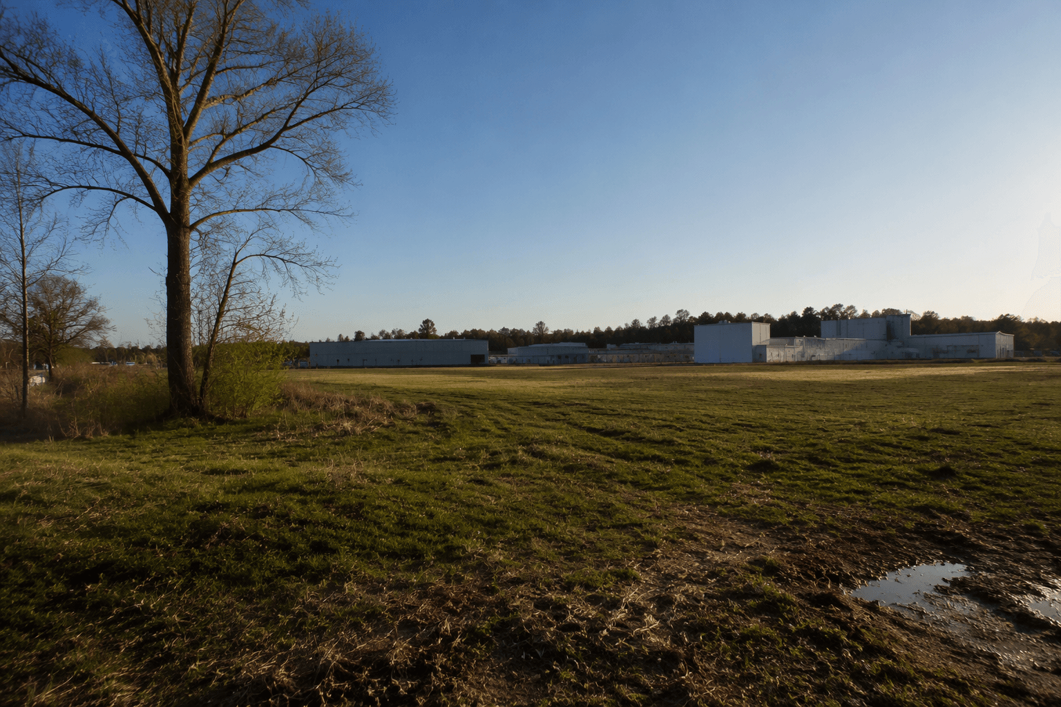
Clayton annexed a 44-acre tract on Guy Rd in Wake County for industrial use, bringing a vacant parcel beside North Carolina State University’s Central Crops Research Station into town limits. The land has no current residents, and the move clears the way for industrial development on the edge of one of Clayton’s most established research corridors.
The annexed site is contiguous to the 523-acre Central Crops Research Station, which has operated since 1953 and hosts field tests by dozens of NC State and U.S. Department of Agriculture researchers each year. The station is listed at 13223 US Business 70 West, Clayton, and Keith Starke is identified as its superintendent.
Clayton’s decision positions the tract for a different kind of land use than the research station next door. Industrial growth can broaden a town’s tax base and support job creation, but it also raises the stakes for traffic on Guy Rd, water and sewer capacity, and the pace at which rural land is converted to heavier commercial use. With no homes on the 44 acres, the immediate impact is not displacement, but the long-term demands on public infrastructure will fall on Clayton and the surrounding Wake County corridor.
The annexation also fits into a longer pattern around the research station. House Bill 218, titled Clayton Annexation, was introduced in the 2015 session of the North Carolina General Assembly, and its summary said it would annex property described as the North Carolina State University Central Crops Research Station into Clayton’s corporate limits. The bill’s committee summary described a 489.24-acre parcel, underscoring how closely the town’s boundary questions have tracked the station itself.
For Clayton, the 44-acre annexation is more than a map change. It extends municipal control over land already tied to the research station corridor and sets up the next fight over what kind of industrial project belongs there, how much new infrastructure it will require, and who will pay for the change.
This article was produced by Prism’s automated news system from verified source data, official records, and press releases, then run through automated quality and moderation checks before publishing. The system is built and supervised by the people who set the standards it runs under. Read our full AI policy.
Did this article answer your question?