Raleigh deploys AI enhanced flood forecasting, sensors across creeks
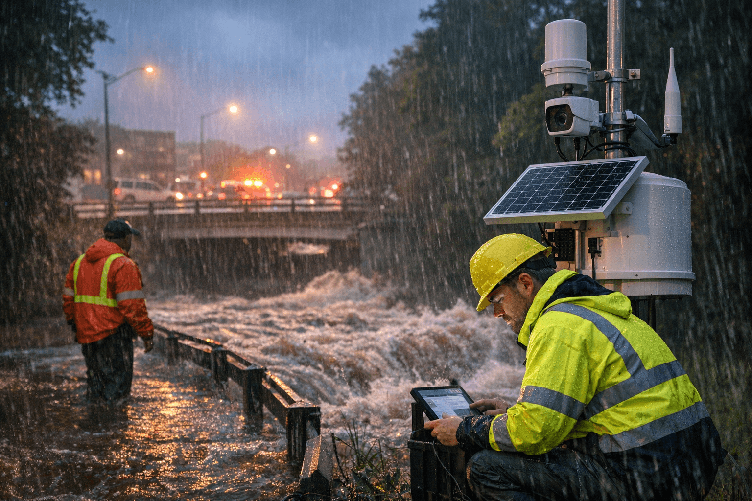
Raleigh announced an expanded Flood Early Warning System that uses AI driven forecasts and real time creek sensors to detect rising water faster, giving crews more time to protect drivers and neighborhoods during intense storms. The upgrade matters to Wake County residents because narrow urban creeks can surge quickly, and faster warnings can reduce roadway washouts and emergency risk.
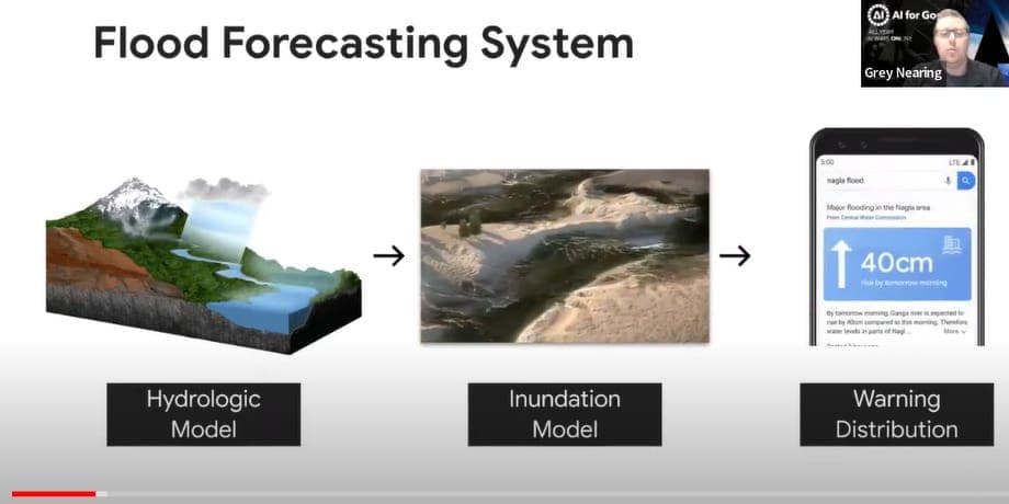
Raleigh has rolled out an expanded Flood Early Warning System to better detect flash floods and give city crews time to respond to sudden, intense storms. The system combines rain gauges, stream sensors, radar adjusted rainfall estimates, soil moisture readings and watershed data with an AI supported hydrologic model, and it updates citywide conditions every five minutes. WRAL climate reporter Liz McLaughlin described the effort in a post on November 20.
The need for faster, more precise forecasting became clear after a mid August storm overwhelmed stretches of Capital Boulevard, submerging vehicles and putting motorists at risk. Similar rapid flooding has occurred along Walnut Creek and other low lying corridors, where highly localized bursts of rain can make creeks rise violently in minutes. City officials accelerated work on improved forecasting after a 2018 flash flood near Crabtree Valley Mall washed out part of a road before crews could close it.
AEM, the environmental technology firm that supplies detailed rainfall estimates and the hydrologic model used by the system, says the tool helps emergency responders prioritize and time their actions. "The system gives emergency responders extra time and helps them know where to focus their efforts," said Liz Marks, director of product marketing at AEM. Marks added that the forecast model continuously adapts as storms develop. "It is designed to continuously recalibrate as storms come in."
Practical uses include pre storm decisions at Lake Johnson, where engineers sometimes lower the lake to create capacity for incoming runoff, a tactic informed in part by the FEWS forecasts. For residents the results are straightforward. Faster, more frequent updates increase the likelihood that crews can close flooded roadways before motorists are endangered, and they help target resources to the neighborhoods and corridors most likely to flood.
Raleigh officials built the system to reflect the citys compact watersheds and the reality that short intense storms can produce dangerous conditions quickly. For Wake County drivers and homeowners, the improved forecast cadence and sensor coverage aim to convert minutes of lead time into safer streets and fewer surprise washouts.
This article was produced by Prism’s automated news system from verified source data, official records, and press releases, then run through automated quality and moderation checks before publishing. The system is built and supervised by the people who set the standards it runs under. Read our full AI policy.
Know something we missed? Have a correction or additional information?
Submit a Tip