Madonna Fire burns 9.28 acres north of Yuma amid extreme heat
Crews were working a 9.28-acre fire north of Yuma as 5% humidity and 50 mph gusts threatened fast spread.

The Madonna Fire had burned 9.28 acres of federal land north of Yuma by Saturday, with crews working near East Madonna Road off Highway 95 in extreme heat. The fire was discovered at 2:15 a.m. on June 26, and the cause was undetermined in official incident data.
The burn area sits in the Sonoran Desert on a patchwork of Bureau of Land Management, state trust and Bureau of Reclamation land in Yuma County. One mapped estimate put only 23 people and 7 housing units in the area, but the footprint also sits near the Yuma Foothills, Blaisdell and scattered cropland in the Lower Colorado River Valley.
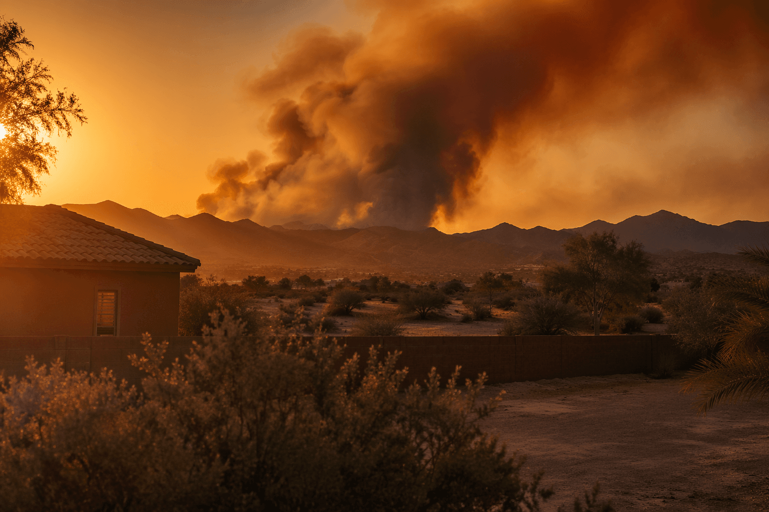
The National Weather Service in Phoenix posted a Fire Weather Watch for the Yuma area for June 26 and June 27, with southwest winds of 15 to 25 mph and gusts up to 50 mph, along with relative humidity as low as 5 percent. A First Alert Action Day remained in place as dangerous heat and increasing winds raised fire-weather concerns across the Desert Southwest.
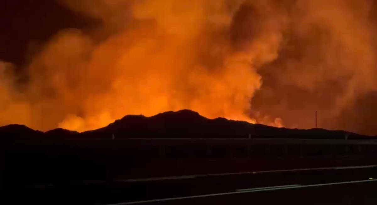
Fires ignited under Red Flag conditions can produce extreme fire behavior, and human-related activities are the leading cause of wildfires on public lands. The Bureau of Land Management is responsible for fire management on 12.1 million acres of BLM-managed public lands in Arizona and fire protection on 14.6 million acres overall, including the Yuma Field Office lands around the fire.
This article was produced by Prism’s automated news system from verified source data, official records, and press releases, then run through automated quality and moderation checks before publishing. The system is built and supervised by the people who set the standards it runs under. Read our full AI policy.
Did this article answer your question?

