54-degree high at Baker City Airport misses Feb. 1 record
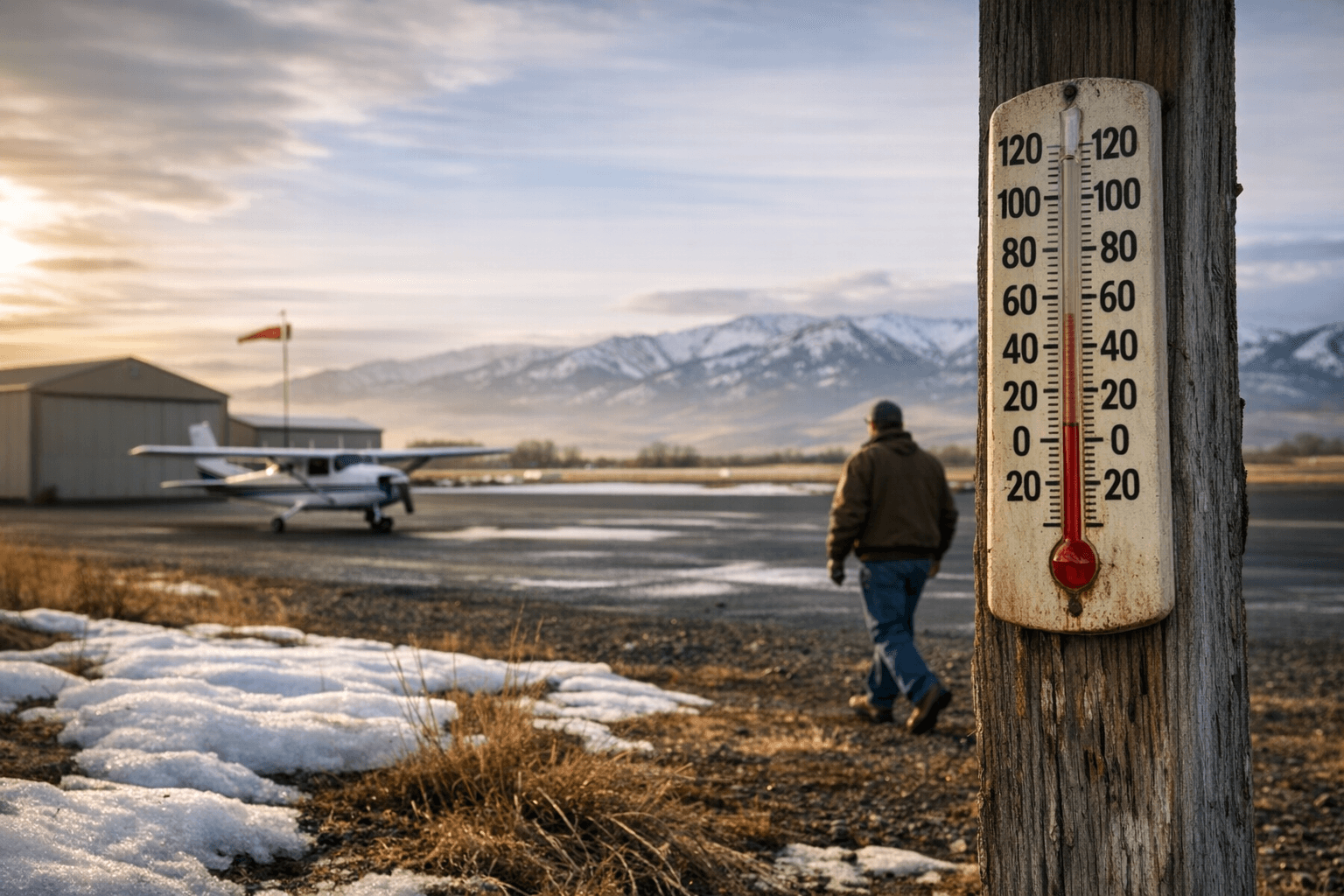
The Baker City Airport hit 54°F on Feb. 1, missing the date record by 1 degree while the region continues an extended dry spell that matters for spring runoff and local growers.
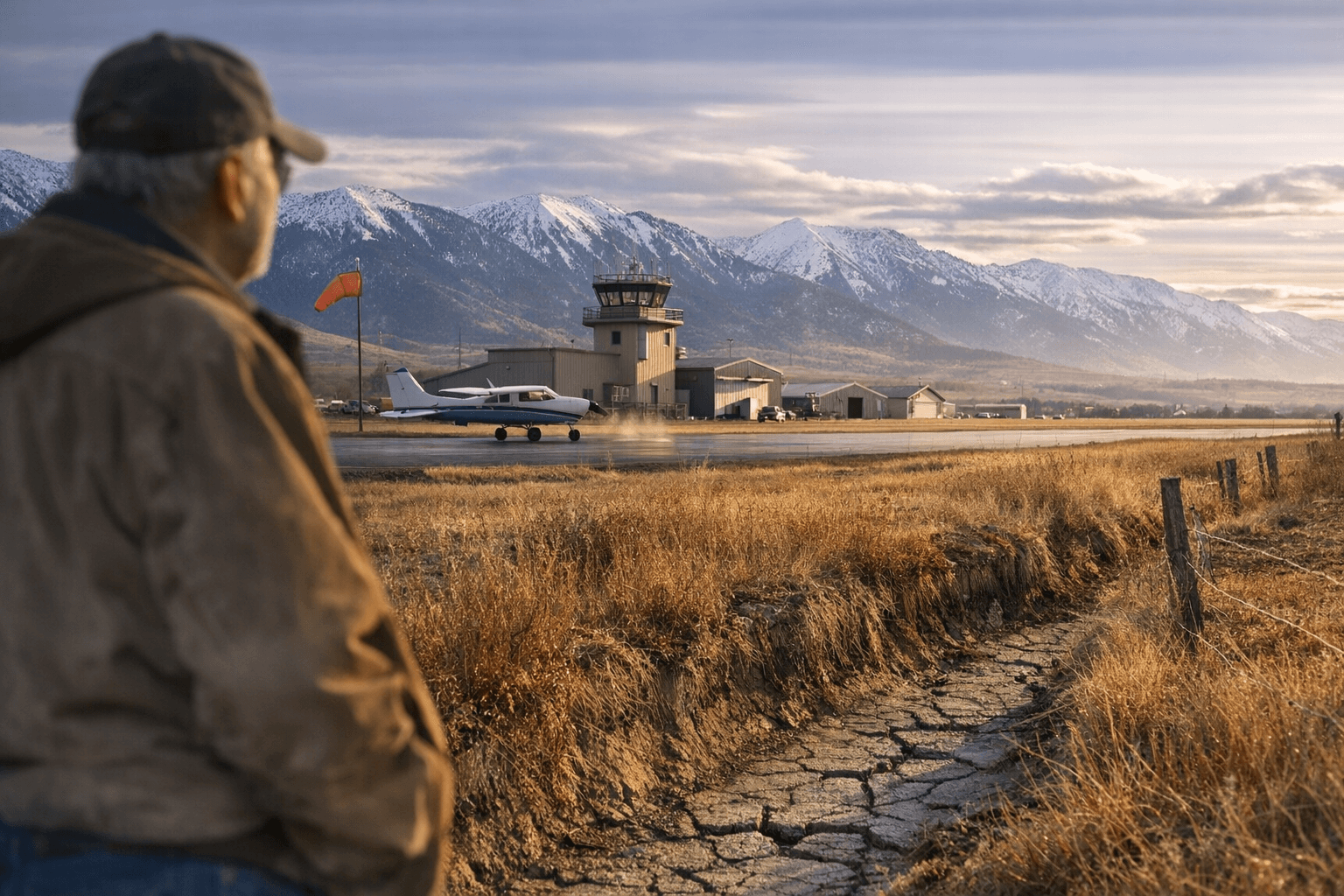
Another month, another record high temperature. Well, almost." That line captures the mood after Baker City Airport reached a high of 54 degrees on the first day of February, a reading that left the day’s record from 2020 untouched by one degree.
The 54°F high stood well above the climatological norm for Feb. 1, when the average high is 35 degrees. It also came amid a prolonged dry stretch: the first day of February marked the 26th straight day with no measurable precipitation at the airport. January’s total precipitation of 0.18 of an inch was the second-lowest January on the station record; the driest January came in 2007 at 0.11 inch. The airport’s weather statistics go back to 1943, providing a long baseline for comparisons.
Longer-term climate data show a warming trend in the region. A multi-decade record through 1943–2024 puts the station’s average temperature at 45.6°F, with an average daily high of 59.6°F and an average daily low of 31.6°F. The most recent decade, 2015–24, registered the highest average daily highs at 61.4°F, higher than previous decades. Locally, 2024 produced two record months for average temperature at the Baker City station: December and July. December 2024 averaged 35°F, eight degrees above the long-term December average and higher than the previous December record of 33.8°F set in 1950.
Short-term forecasts point to continued unseasonably mild, mostly dry conditions before chances for precipitation rise later in the fortnight. The National Weather Service forecast signals that "the pattern will persist for at least six more days," with sunny, early-springlike days through at least Saturday, Feb. 7, and a forecasted chance of rain on Sunday. A separate forecast snapshot from a commercial provider updated at 8:24 a.m. on Feb. 2 showed daytime highs climbing into the mid-to-upper 50s by the second weekend and rising precipitation probabilities after Feb. 9.
For Baker County residents the twin facts of warmth and dryness have practical consequences. Early warm spells can trigger premature green-up for pasture and garden plants, shifting grazing schedules for livestock and potentially increasing irrigation demand if precipitation remains scarce. The long dry run also bears watching for snowpack and spring runoff projections in local watersheds that supply irrigation and municipal supplies. Public safety and natural resource managers will monitor whether a warm, dry stretch accelerates spring fire-season conditions or delays the replenishment of soil moisture.
What comes next is a short window of mild weather and then a rotating set of forecast signals. Keep an eye on updated National Weather Service briefings and local climate summaries as the week progresses; a single weekend of rain would ease short-term dryness, while continued warmth would reinforce the multi-decade trend toward higher average highs that local growers, ranchers, and water managers are already factoring into planning.
Know something we missed? Have a correction or additional information?
Submit a Tip