Arcata Adopts Major Local Coastal Program Update Including Sea-Level Planning
Arcata's City Council voted to adopt a comprehensive Local Coastal Program update in early March 2026, adding sea-level rise planning, a South G Street CCV overlay and SLR mapping to 2100.

Arcata’s City Council voted to adopt a comprehensive update to the city’s Local Coastal Program, with the Original Report recording a council vote on March 5, 2026 and the City of Arcata website showing council consideration scheduled for March 4, 2026. City and staff materials describe the action as the first major overhaul since the 1990s, with the City and project documents citing the LCP as a 1989 program while a July 16, 2025 staff report states the program “was last comprehensively updated in 1994.”
The Local Coastal Program governs development inside the city’s Coastal Zone, which the City of Arcata website says “makes up about one‑third of the land area of the City of Arcata” and includes the western Arcata Bottom, lands south of 7th and 8th Streets west of State Route 101, and lands south of Bayside and Old Arcata Roads east of State Route 101. City materials list the update’s issues as agricultural resources, coastal access, industrial development, sea level rise and coastal hazards, and wetlands and other environmentally sensitive habitat areas.
The update traces to a project kick‑off on May 1, 2014. Project documents show a Phase 1 target completion of April 30, 2016 and list Task 1.1 as “Determine Range of SLR Projections; Mapping at 2030, 2050, and 2100.” A June 10, 2025 version of the Program was posted to the city website, the July 16, 2025 staff report by Community Development Director David Loya recommended continuing a hearing to October 15, 2025 to accommodate Coastal Commission edits, and local commission meetings continued through February and March 2026, including a Planning Commission orientation on March 25.
Policy changes in the adopted package are specific. CitizenPortal Ai planning coverage and city staff notes describe a proposed Coastal Commercial Visitor‑Serving CCV overlay for much of South G Street intended to “encourage visitor‑serving uses (hotels, RV parks and similar low‑infrastructure uses) to replace former industrial and storage uses.” David Loya told the commission that such uses “could be easier to remove or adapt as sea level rises and could help clean up contaminated parcels adjacent to the Arcata Marsh and Wildlife Sanctuary.”
Technical SLR work was incorporated throughout the update. The Documents Coastal Ca project scope lists Task 8 and Program 8.1 as work to “Incorporate Sea Level Rise Policies into each Section of Coastal Land Use Plan” and requires mapping and preliminary risk assessment at 2030, 2050, and 2100. The Documents exhibit lists deliverables including public workshop minutes and a certified LCP update as the ultimate outcome.
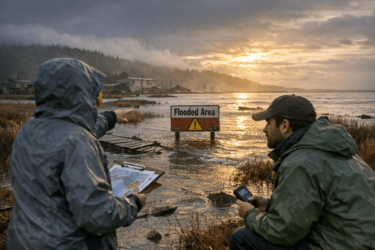
The City’s action is only one step in a multiagency process. The City of Arcata website and Lost Coast Outpost both note the update requires City Council adoption and certification by the California Coastal Commission before taking effect, and Lost Coast Outpost reports the State Housing and Community Development Department is reviewing the Program. The Pub‑Arcata staff report records that “Coastal Commission staff provided recommended changes to the June 10, 2025, version. These changes cannot be made through a conditional certification process. They must be addressed in the City’s original submittal. As such, staff is recommending deferring local adoption to provide time for addressing the edits. Coastal staff have committed to working diligently with City staff to resolve all outstanding issues in a three‑month period.”
The staff report frames the update as establishing the city’s approach to climate adaptation: “The City has been working closely with Coastal Commission staff over the last eight years on the current version of the comprehensive update. During this time, the City engaged the community, State and Federal agencies, the Commission and the Council to define the City’s coastal policies consistent with the Coastal Act. Importantly, this update establishes the City’s policy stance and approach to sea level rise resiliency and adaptation.” The report also states the adoption action is “Statutorily Exempt from the California Environmental Quality Act (CEQA Guidelines Sec. 15265).”
Several technical and legal details remain to be finalized at the state level. Coastal Commission certification and the Coastal staff edits to the June 10, 2025 draft must be resolved before the update takes effect, and the exact ordinance language for the CCV overlay, SLR policies, and any other zoning changes will be contained in the final adopted Local Coastal Element and Coastal Zoning Ordinance. City documents and staff reports reviewed in the update do not include dark‑sky or lighting rules; whether lighting provisions appear in the final adopted text must be confirmed against the adopted package and Coastal Commission action.
Sources:
Know something we missed? Have a correction or additional information?
Submit a Tip

