Big Sur’s coastal state parks showcase California’s rugged natural beauty
Big Sur’s state parks pair redwoods, cliffs and McWay Falls with a fragile road network that can close in a storm, turning access into part of the experience.
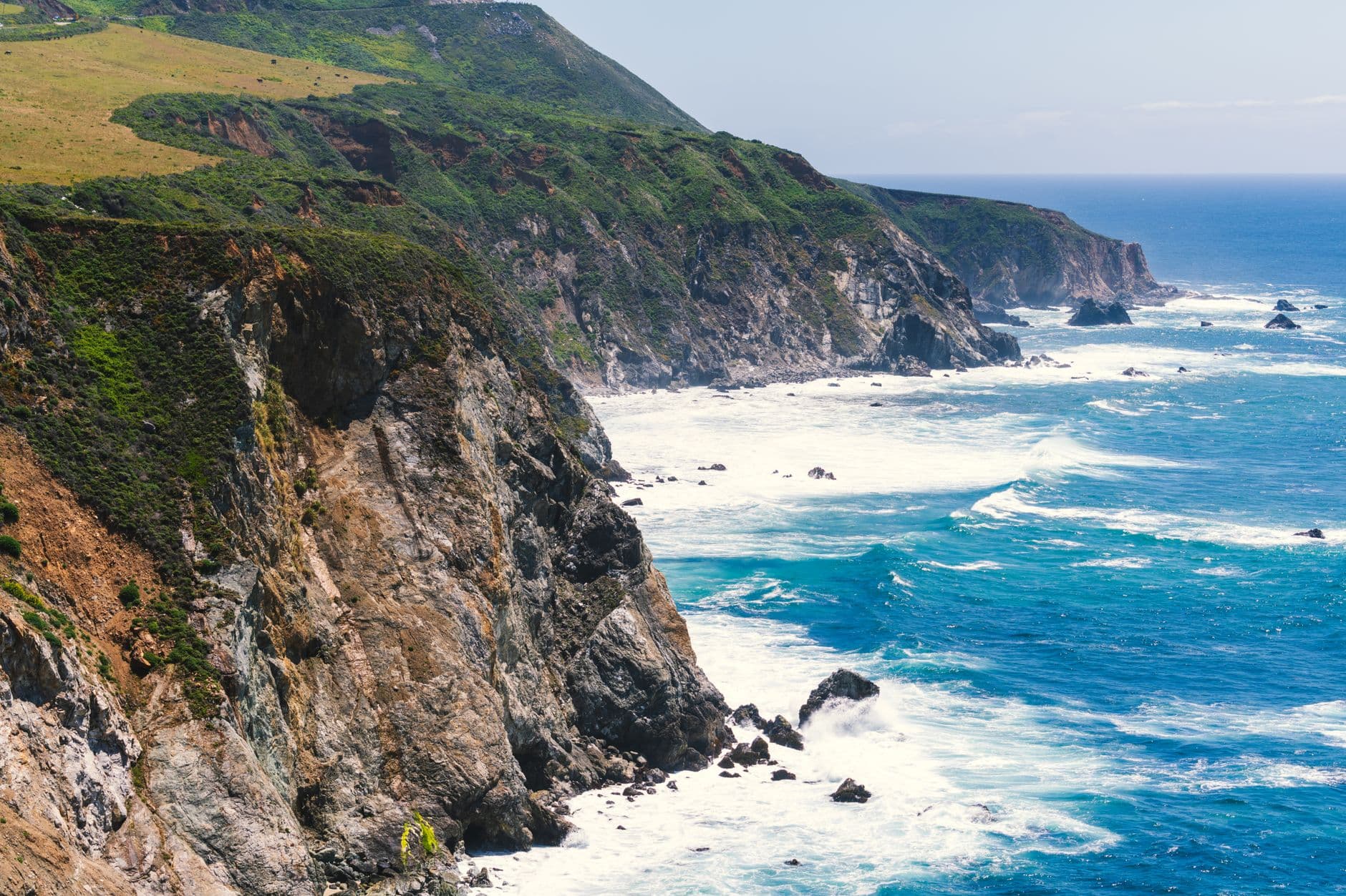
Highway 1 provides the only road access through much of Big Sur, a rugged stretch south of the Monterey Peninsula where state parks line one of California’s most dramatic and vulnerable coastlines. That single thread of pavement connects iconic overlooks, redwood groves, and cliffside beaches, but it also makes every slip-out, wildfire, and repair effort part of the story of visiting here.
The coast that defines the route
Big Sur is not one park but a corridor of landmarks stitched together by the highway. Pfeiffer Big Sur State Park, Julia Pfeiffer Burns State Park, Limekiln State Park, Andrew Molera State Park, Garrapata State Park, and Point Sur State Historic Park all sit within reach of the same narrow coastal road, with Bixby Creek Bridge and McWay Falls serving as two of the region’s best-known reference points. The landscape is famous for dramatic cliffs, Pacific Ocean views, redwood groves, fog, and long stretches of solitude.
Julia Pfeiffer Burns State Park is known primarily for McWay Falls, an 80-foot waterfall that spills onto a scenic beach, while the park itself stretches from the coastline into nearby 3,000-foot ridges. Its habitat mix includes redwood, tan oak, madrone, chaparral, and coastal plant communities, a combination that helps explain why the terrain changes so quickly from ocean bluff to shaded canyon.
What each park adds to the experience
Pfeiffer Big Sur State Park gives the corridor its inland anchor, with coast redwoods and the Big Sur River winding through the forest. It offers shade, creekside trails, and campground access that depends as much on road conditions as on park hours.
Limekiln State Park offers another angle on the coast, with rugged Big Sur views and a direct connection to the Monterey Bay National Marine Sanctuary. The marine setting leaves the park exposed to the Pacific in a way inland redwood groves do not.
Andrew Molera, Garrapata, and Point Sur State Historic Park add their own stretches of shoreline, headlands, and historic context.
Access is the challenge behind the scenery
The beauty of Big Sur has a practical cost: Highway 1 is also the region’s weak point. Access to Big Sur area parks and surrounding businesses can be affected by closures and slip-outs, and the Rocky Creek slide in 2024 showed how quickly the corridor can narrow. Access to Big Sur state parks and businesses via Highway 1 was restored on Friday, May 17, 2024, after the Rocky Creek slip-out, and a new traffic signal was installed there to manage one-lane alternating traffic.
By January 14, 2026, Caltrans listed a series of Big Sur Highway 1 emergency projects as complete, including Rocky Creek Viaduct, Saint Francis Repair, Dolan Point, Regent’s Slide, Paul’s Slide, and Shale Point, with all of Highway 1 open at that point.
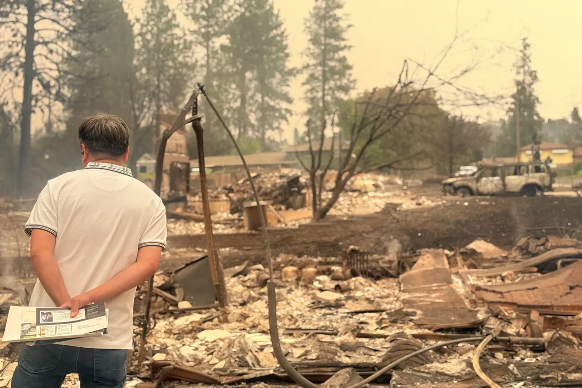
Wildfire risk sits alongside landslide risk in that calculation. Monterey County’s wildfire guidance calls wildfires costly events that threaten lives, property, open space, timber, wildlife habitat, and historic and cultural resources, and California’s wildfire history has been lengthened by a warming climate. Big Sur’s steep canyons, dry seasons, and heavy visitor use make that broader state reality concrete, especially in a region where access is already fragile.
The maintenance work that keeps a coastline usable
Keeping Big Sur open is not just a matter of clearing mud. California State Parks’ statewide wildfire resilience work uses fuels reduction, prescribed fire, pest management, hazardous tree management, facility protection, and infrastructure work. The same logic applies along Highway 1, where traffic controls, slope stabilization, and emergency repairs are the difference between a driveable coast and a closed corridor.
That maintenance burden also extends to trails. On September 15, 2025, California State Parks and Save the Redwoods League announced the reopening of Pfeiffer Falls Trail in Big Sur, a scenic trail with redwoods and a waterfall that had reopened for a second time after renovation.
What to know before you go
Big Sur state parks are open from 8 a.m. to sunset, with day-use fees of $10 per vehicle. Some pass exemptions and discounts apply, including reduced rates for some pass holders, so the gate fee can vary depending on eligibility. Camping reservations at Pfeiffer Big Sur State Park can be made up to six months in advance through the state reservation system.
A few rules shape the visit:
- Dogs are not allowed on state park trails.
- Dogs are allowed in some picnic or day-use areas, some campgrounds, and on paved roads.
- Dogs must be on a leash no longer than 6 feet and never unattended.
Checking weather forecasts and road updates before visiting is standard advice in a region where Highway 1 can change quickly after rain, slide activity, or emergency work.
A landscape with names, history, and exposure
Big Sur’s map carries the names of early settlers as well as landmarks. It includes names such as Mt. Manuel, Pfeiffer Ridge, Post Summit, Cooper Point, and Dani Ridge. Bixby Creek Bridge, built in 1932, is one of California’s most photographed spans, soaring 260 feet above Bixby Canyon and stretching more than 700 feet across the gap.
This article was produced by Prism’s automated news system from verified source data, official records, and press releases, then run through automated quality and moderation checks before publishing. The system is built and supervised by the people who set the standards it runs under. Read our full AI policy.
Did this article answer your question?