Island County Parks page offers maps, Park Finder for Whidbey and Camano
Island County's parks page centralizes maps and a Park Finder for Whidbey and Camano, helping islanders locate trails, boat launches, picnic sites and rental facilities.

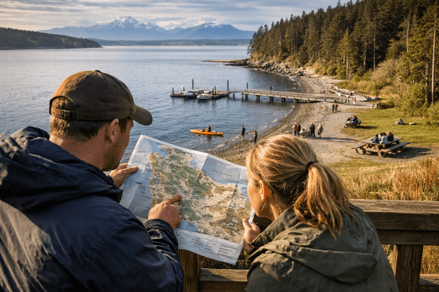
Island County’s Parks & Recreation department maintains more than 50 park facilities across Whidbey and Camano islands and directs residents and visitors to a consolidated Parks & Trails page that includes a Find a Park list, park maps and an interactive Park Finder web map. The online resources provide trail maps, boat-launch locations, picnic sites, playgrounds, equestrian areas, fishing and mountain-biking locations, and information on rental facilities such as pavilions and meeting spaces.
The page also sets out the department’s mission and posts updates about the county Parks & Recreation Plan, making it a hub for both trip planning and civic engagement. For users who need more technical detail, the Parks & Trails page links to the county’s ICGeoMap, which offers layered mapping, topography and aerial photography useful for site research, route planning and accessibility checks.
Accessible mapping matters in practice. Accurate park lists and downloadable maps reduce uncertainty for islanders coordinating visits around ferry schedules, low tides and seasonal closures. Clear facility listings help residents identify which parks have amenities they need for gatherings or outdoor recreation, and the Park Finder web map streamlines searches across both islands instead of forcing users to consult multiple pages or paper maps.
There are governance implications as well. By aggregating facility data and plan updates in a single place, the county creates a record that can be used to track investments, maintenance priorities and trail improvements over time. That visibility supports public oversight of spending and capital projects and makes it easier for residents to follow the Parks & Recreation Plan as it evolves. Community input on priorities tends to be more effective when residents have reliable geospatial information to reference during public meetings or comment periods.
Operationally, the interactive mapping tools also support emergency planning and volunteer coordination by showing exact trailheads, boat ramps and parking areas. For nonprofit groups and neighborhood associations that steward trails or sponsor maintenance days, the combination of park lists and ICGeoMap layers simplifies logistics and site assessment.
For island residents, the practical takeaway is immediate: use the Parks & Trails page and Park Finder to locate facilities, confirm amenities and consult topographic or aerial layers for trip planning. For community advocates and taxpayers, the consolidated resources make it easier to monitor county priorities and engage in the Parks & Recreation Plan process as decisions about improvements and funding move forward.
Sources:
Know something we missed? Have a correction or additional information?
Submit a Tip