Navigating McKinley County: Safety and Route Tips for I-40, US-491, NM-118
expect weather, work and crash-related delays on I-40, US-491 and NM-118; plan alternate routes through downtown Gallup, keep hospital and sheriff contacts, and pack basic survival gear.

1. Interstate 40 (I-40) — role, common hazards, and immediate detour options
Interstate 40 is the primary east–west interstate through Gallup and McKinley County; it carries long-distance freight, local commuters and intercity buses that connect communities across New Mexico. Because I-40 is both a through-route and the main connector for local businesses near the Gallup travel plazas, any closure or slowdown has an immediate economic impact on fuel stations, truck stops and local employers who rely on timely deliveries. Typical hazards include winter ice and blowing snow in the high desert, high winds that affect high-profile vehicles, and multi-vehicle crashes that can tie up both directions for hours.
- Short detours: use the I-40 Business loop and NM‑118 through downtown Gallup to bypass some incidents; these streets access Gallup businesses, city services and the Rehoboth McKinley Christian Health Care Services campus.
- If you travel I-40 for work: allow extra time during winter and on known holiday freight days; commercial drivers should check Department of Transportation advisories before leaving.
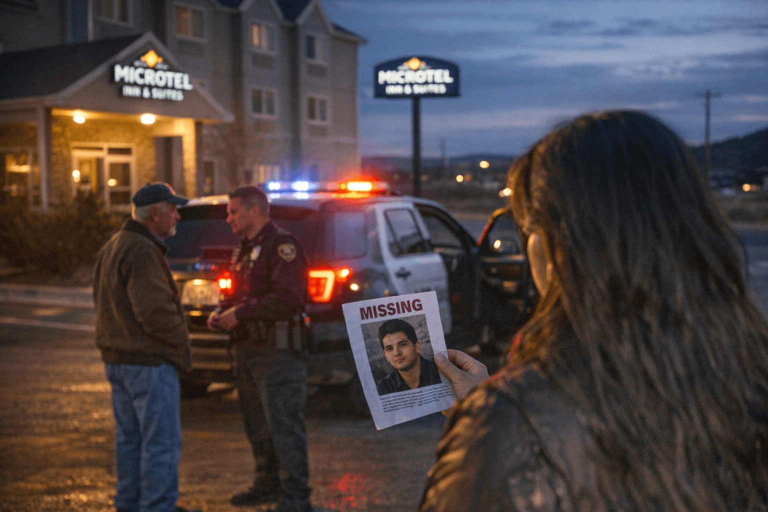
- Public safety coordination: the McKinley County Sheriff’s Office and Gallup Police Department respond to incidents on I-40 and will sometimes stage traffic control at exit ramps; if you see responders, slow down and move over to protect first responders and tow crews.
2. U.S. 491 (US-491) — north–south connector, community access, and safety priorities
US-491 (formerly U.S. 666) is the main north–south arterial linking Gallup with neighboring communities on the Navajo Nation and rural McKinley County. Because many residents depend on US-491 for access to jobs, schools and clinics, sustained closures or poor surface conditions disproportionately affect households with fewer transportation alternatives. The corridor sees a mix of local light vehicles and freight; narrow shoulders and variable lighting in rural stretches can raise crash severity at night.
- Daytime driving tips: watch for farm equipment, livestock and slower vehicles; use caution when overtaking on two-lane stretches and only pass where visibility and signage allow.
- Night and winter safety: carry extra water, blankets and a charged phone—cell coverage can be spotty in sections outside Gallup city limits—so plan for limited rescue windows during storms.
- Equity issue: community leaders and the county have raised concerns about maintenance and snow-removal prioritization on US-491; advocate through local commissioners and tribal transportation offices for consistent clearing to protect residents who lack alternate routes.
3. NM‑118 (the Route 66 business corridor through Gallup) — local access, walkability, and emergency routing
NM‑118 traces the historic Route 66 through downtown Gallup and functions as the business loop for travelers seeking services off I-40. NM‑118 provides direct access to Gallup municipal services, retail corridors, and several health clinics; when I-40 is closed, NM‑118 often absorbs diverted traffic, increasing congestion and pedestrian risk in the downtown core. This road is important to local commerce but was not designed to handle sustained interstate-level detours without causing bottlenecks.
- Pedestrian and bicycle safety: if you’re coming into town on NM‑118, expect more vehicles at intersections, and slow down in business districts where foot traffic increases. Support crosswalk visibility by using well-lit crossings near Gallup’s central businesses.
- For medical access: if you’re headed to the Rehoboth McKinley Christian Health Care Services campus or other clinics, plan for slower arrival times during peak detours and inform clinics if you anticipate delays for appointments.
- Local policy point: investments to improve sidewalks, signal timing and police traffic enforcement on NM‑118 reduce crash risk and help keep downtown businesses viable when larger corridors are disrupted.
4. Practical preparation before you drive any of these corridors
Preparation reduces time stranded and pressure on emergency responders. Pack a basic winter/survival kit: warm layers, water, nonperishable snacks, a flashlight with extra batteries, a battery pack for your phone, and basic first-aid supplies. Check vehicle condition—brakes, tires and fluid levels—before winter trips. Keep critical contacts on hand: 911 for emergencies, Gallup Police Department and McKinley County Sheriff’s Office for non-emergency incident reports, and the phone number for your clinic if you rely on scheduled medical transport.
- Travel alerts: sign up for New Mexico Department of Transportation travel alerts and local agency text or phone notifications when possible; these systems post closures and chain or tire restrictions.
- For families and caregivers: plan alternate childcare or appointment coverage if roads become impassable; delayed clinic appointments can be rescheduled, but emergency access is limited during multi-hour closures.
5. If you become stranded on I-40, US-491 or NM‑118: immediate steps
1. Move your vehicle safely off the roadway if conditions allow and turn on hazard lights.
2. Call 911 if anyone is injured or if you are in immediate danger; otherwise contact non-emergency local law enforcement to report location and condition.
3. Stay inside your vehicle if weather is severe—your car provides shelter—and run the engine intermittently for heat, but ensure the exhaust pipe is clear of snow.
4. Conserve phone battery and signal your location using hazard triangles or a bright cloth; if you must walk for help, be aware of traffic and only leave if you know a nearby open business or service is within safe walking distance.
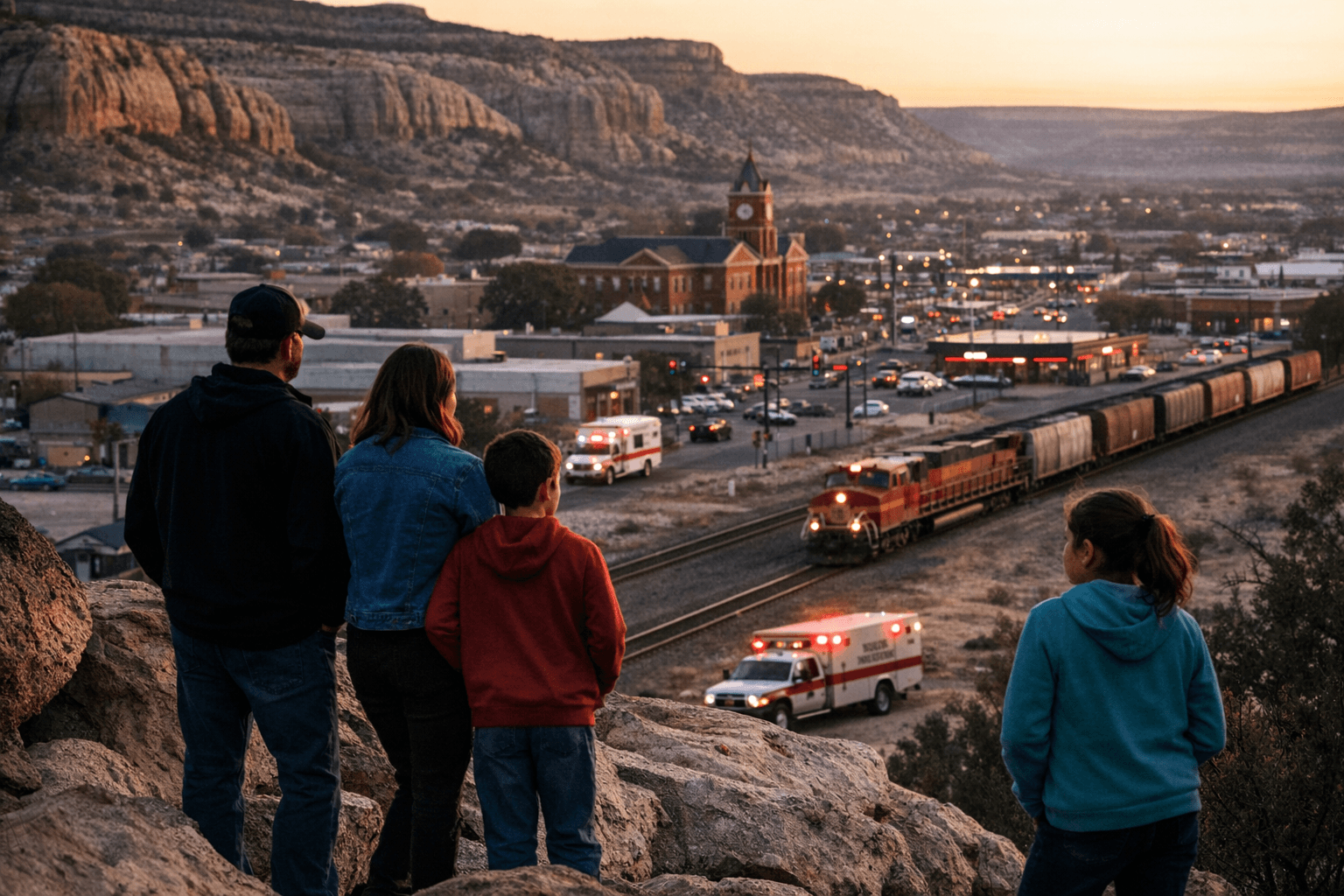
6. Community impacts and public health considerations
Road closures and route unreliability have downstream health and economic effects in McKinley County. Delays in ambulance transfers or canceled clinic visits can worsen chronic disease management, and transportation interruptions disproportionately harm low-income residents and families without spare vehicles. Local employers — from freight-dependent businesses near I-40 interchanges to downtown retailers along NM‑118 — can see lost payroll hours and deliveries when corridors are shut.
- Health system coordination: community clinics, Rehoboth McKinley Christian Health Care Services and regional emergency medical services coordinate during major closures to prioritize life‑threatening transports; when possible, call ahead to healthcare providers to reschedule non-emergency care.
- Policy leverage: sustained advocacy for targeted NMDOT maintenance funding, improved snow-removal contracts, and investment in public transit options can reduce inequitable burdens on households that cannot absorb repeated closures.
7. How local officials and neighbors can reduce risks
Local leaders can push for clearer detour signage, better lighting on US-491 and pedestrian safety investments on NM‑118. Neighborhood-level responses—such as volunteer check-in networks for elders during storms or coordinated transit for medical appointments—help absorb short-term shocks when state or county resources are stretched.
- Practical actions for officials: prioritize timely public information about closures, coordinate with tribal transportation officials for cross-jurisdiction response, and track incident response times to secure better funding.
- Community-level action: neighbors with high-clearance vehicles can register with local volunteer registries to assist urgent pharmacy runs or medical transport for isolated residents during outages.
Conclusion Travel through Gallup and McKinley County relies on a trio of roads that each serve distinct but overlapping roles: I-40 for regional movement and freight, US-491 for north–south community access, and NM‑118 for downtown Gallup business and health access. Being prepared—checking alerts, packing a survival kit, and knowing alternate routes to clinics and emergency services—reduces health risk and economic disruption when incidents occur. Policy attention to maintenance, snow removal and transit equity will make these corridors safer for everyone who depends on them.
Know something we missed? Have a correction or additional information?
Submit a Tip