Near-Record Heat, High Winds Prompt Red Flag Warnings in Las Animas County
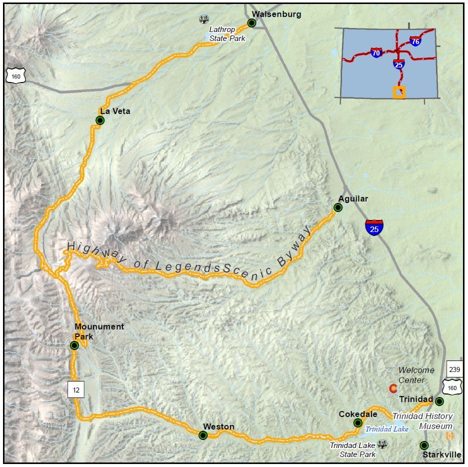
Near‑record warmth and gusty westerly winds on Feb. 24, 2026 prompted the National Weather Service to expand Red Flag warnings into parts of the I-25 corridor; Las Animas County experienced the same warm, dry, windy setup.
The National Weather Service expanded Red Flag Warnings and, in some areas, Fire Weather Watches into parts of the I‑25 corridor as a warm, dry and windy pattern produced near‑record high temperatures and gusty winds on Feb. 24, 2026, a setup that includes Las Animas County along the corridor. The NWS expansion followed a regional outbreak of unseasonably high temperatures and strong winds across southern Colorado and neighboring plains areas.
Across the Southern High Plains, KVII/ABC7 Amarillo meteorologist Corbin Voges reported that a Red Flag warning would be in effect from 11 a.m. to 7 p.m. CST on Tuesday, Feb. 24, 2026, for much of the region, including the southwest Texas Panhandle and eastern New Mexico. KVII forecast daily record highs were likely to be broken in several High Plains locations, with Amarillo’s average late‑February high of 58°F compared with forecast highs in the lower to mid‑80s. KVII warned of winds from the west at 15 to 25 mph, with gusts between 30 and 40 mph possible and called out eastern New Mexico communities Clayton, Clovis, Portales and Tucumcari by name.
In the Chicago area, NBC 5 reported a separate NWS red flag warning scheduled to begin at 10 a.m. local time for McHenry, DeKalb, Kane, LaSalle, Kendall and Grundy Counties, with special weather statements covering Lake, DuPage, Cook, Will and Kankakee Counties in Illinois and Kenosha County, Wisconsin. NBC 5 Storm Team meteorologist Alicia Roman summarized conditions bluntly: "Very dry, very windy." NBC 5 published NWS language that "the combination of unseasonably warm and exceptionally dry conditions and gusty winds will result in a significant risk for grass and brush fire spread this afternoon," and warned that "Any fire that develops will catch and spread quickly. Outdoor burning is not recommended." Forecasters flagged gusts potentially exceeding 40 mph, with gusts of 45 mph or higher possible through 8 p.m., and forecast temperatures in the 60s at Waukegan (64°F) and Kankakee (69°F).
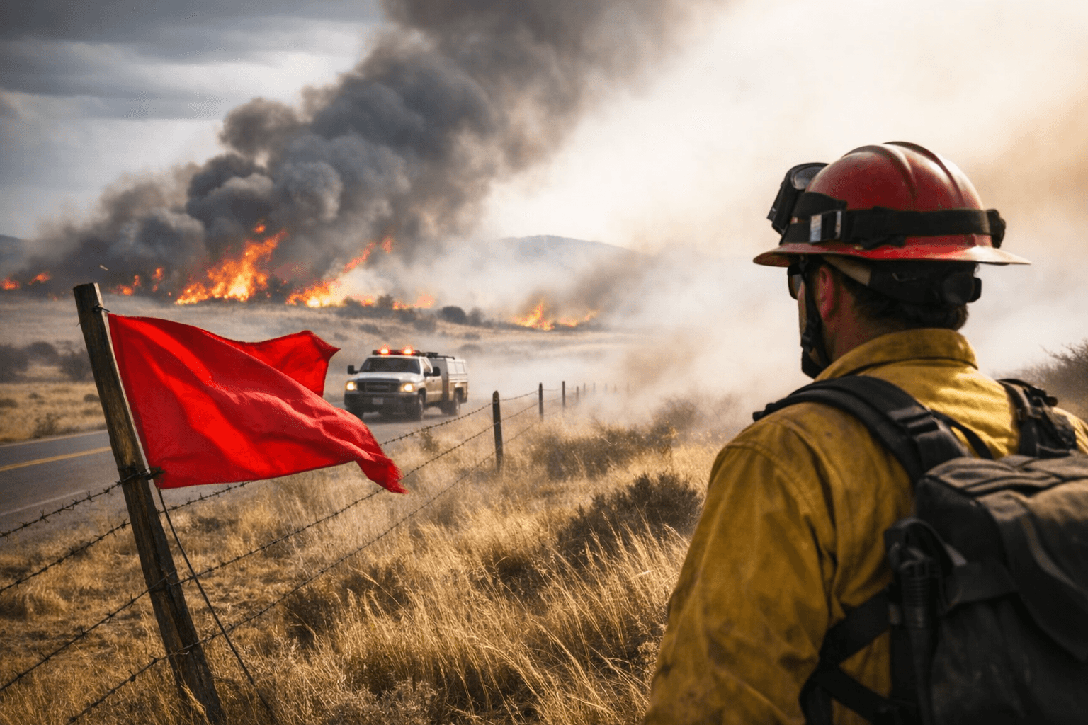
Operationally, Red Flag Warnings are tied to measurable fuel and humidity thresholds. Guidance captured in source material lists relative humidity under 25% for several hours, ten‑hour fuel moistures of 8% or less, and sustained winds of at least 15 mph at 20 feet for several hours as common criteria. Fire agencies use such warnings to curtail planned burns and alter staffing and equipment deployments; outdoor burning bans may be declared by local law and fire officials during Red Flag conditions.
For residents and officials in Las Animas County and neighboring jurisdictions, the explicit advice in these reports is simple and immediate: avoid outdoor burning, curtail planned burns, and limit activities that could produce sparks or open flames while gusty west winds and dry fuels persist. Monitor the National Weather Service office serving southern Colorado and notices from the county fire department and Colorado Department of Transportation for updated warning texts, wind gust reports, and any travel advisories tied to wildfire activity. The region’s warm, dry, windy pattern on Feb. 24 created the exact ingredients NWS warned would allow any spark to spread rapidly.
Sources:
Know something we missed? Have a correction or additional information?
Submit a Tip