NOAA warns El Niño could intensify to very strong this winter
NOAA said El Niño has formed and could turn very strong by winter, raising flood, heat and coastal flooding risks across the U.S.

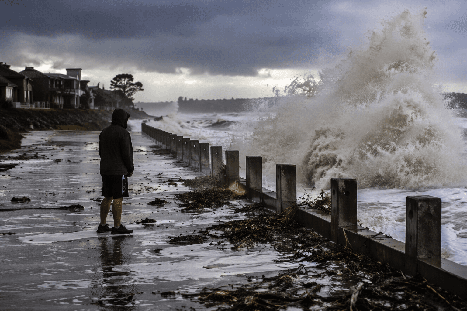
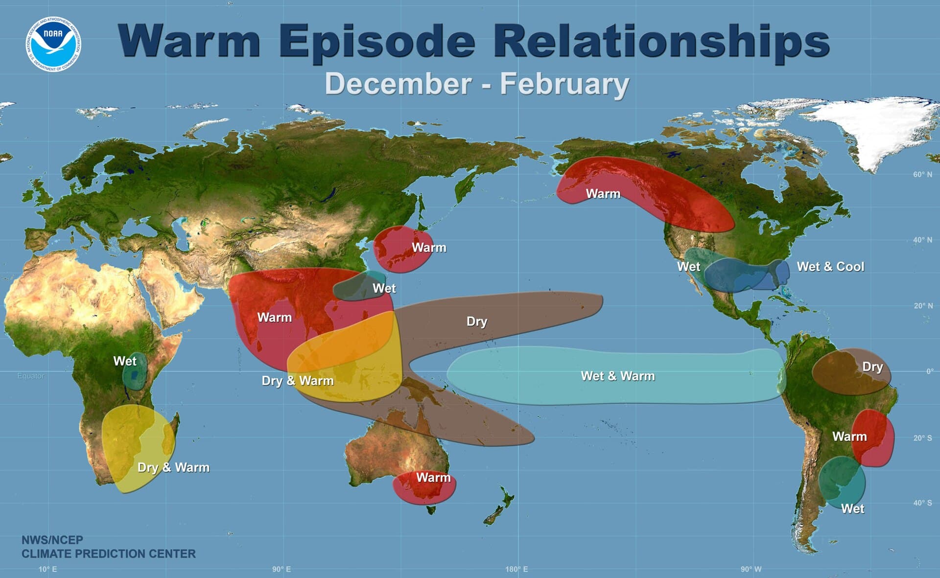
Coastal towns, southern states and parts of the winter-wet southern tier of the United States are heading into a season shaped by a strengthening El Niño and a hotter climate baseline that is already worsening floods, heat and insurance losses. NOAA said the Pacific pattern has formed and is likely to intensify into Northern Hemisphere winter 2026-27, when it often pushes the storm track south and tilts the odds toward wetter conditions in the South and warmer-than-usual winters in the North.
NOAA’s National Weather Service issued an El Niño Advisory on June 11, saying the latest weekly Niño-3.4 index stood at +0.7°C and the Niño-1+2 index at +2.1°C. Forecasters put the chance of sea surface temperatures exceeding 2.0°C in the monitored Pacific region at 63 percent, a level NOAA classifies as very strong. The agency said that if the event crosses that mark, it would rank among the largest El Niño events in the historical record dating to 1950.
The timing matters because El Niño tends to peak in winter, when its effects are most likely to spill into U.S. weather. NOAA said the pattern does not land the same way everywhere, but its typical footprint includes a southward shift in storm tracks, wetter conditions for the southern tier and milder winters across much of the North. NOAA’s Climate Prediction Center had already placed the Pacific on watch in May, and its latest diagnostic discussion says El Niño is likely to persist through winter 2026-27.
The natural cycle is colliding with a climate system that is already more dangerous. NOAA and other federal ocean agencies warned that rising seas can turn an El Niño winter into more frequent, deeper and more widespread high-tide flooding along both the West Coast and East Coast. That risk stacks on top of heavier rain, hotter summers, crop stress and higher insurance losses, especially in low-lying coastal communities and flood-prone neighborhoods.
The World Meteorological Organization warned on June 2 that El Niño could fuel more extreme weather and urged countries to strengthen early warning systems. Celeste Saulo said the last El Niño in 2023-24 was one of the five strongest on record and helped drive record global temperatures in 2024. In the Atlantic, NOAA’s hurricane season runs from June 1 through November 30, and forecasters say the expected El Niño is one reason they see below-average activity this year, even as coastal flood risk continues to rise.
This article was produced by Prism’s automated news system from verified source data, official records, and press releases, then run through automated quality and moderation checks before publishing. The system is built and supervised by the people who set the standards it runs under. Read our full AI policy.
Know something we missed? Have a correction or additional information?
Submit a Tip