Orange County Officials Get Feedback on Surfacing, Bridges for Schunnemunk Trail
Orange County officials gathered public input on surfacing and bridge repairs for the Schunnemunk Rail Trail, decisions that will affect access, safety and nearby businesses.

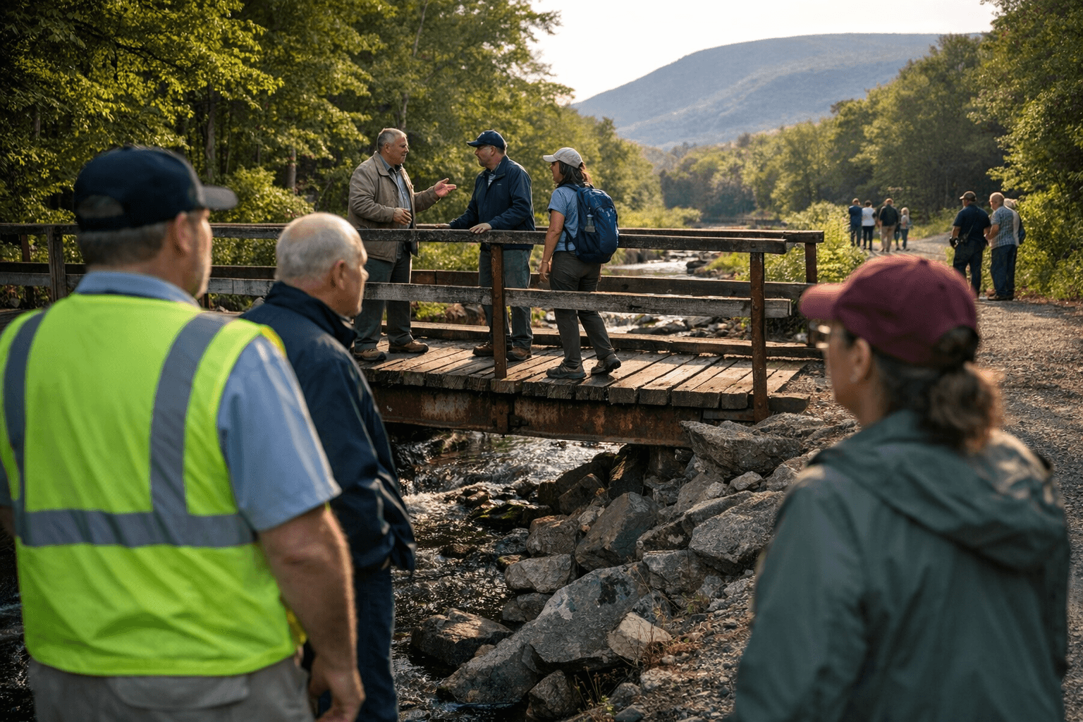
A packed session at the Washingtonville Village Meeting Hall drew county officials and residents together today to shape the next phase of the Schunnemunk Rail Trail. Commissioner of Planning Alan Sorensen and Commissioner of Orange County Parks Travis Ewald led an interactive presentation that used large sequenced maps to show a new stretch of trail from the LaGuardia/County Park near the Moodna Trestle and Moodna Creek in Salisbury Mills to the future County Park on Greycourt Road in Chester and Blooming Grove.
Residents crowded the tables to post notes marking wants and concerns and to study proposed crossings at Craigville Road, Farmingdale Road, Old Dominion Road and Tuthill Road. County engineering staff and environmental mitigation experts answered technical questions about drainage, habitat impacts and construction constraints. The meeting highlighted competing priorities: preserving the trail’s natural character while improving year-round access for walkers, wheelchair users and bicyclists.
A major topic was surfacing. Attendees weighed pavement against crushed stone, discussing drainage tradeoffs, long-term upkeep and how different surfaces affect bicycling. Another concern centered on multiple bridge crossings and repair needs, including the steel-plate bridge at Craigville Road and Route 94 that residents flagged as a priority for inspection and potential upgrade. Access points and parking near village centers and businesses came up repeatedly, with Weirs Ice Cream cited often as an anchor business that could benefit from nearby trailheads.
The maps helped people visualize how the new section would tie into existing access points such as the Moodna Creek Trailhead and the Schunnemunk Meadows Trailhead on Otterkill Road, and how it would sit close to Washingtonville High School and Sewell Park. Participants discussed restroom and porta-potty needs for peak season use and special events, and explored ways the trail could support local commerce without becoming overly developed.
County officials emphasized a balanced approach: some sections may be paved for accessibility and connectivity, while others would remain crushed stone to protect scenic and ecological values. Officials also outlined plans for producing final maps and trail-related promotional material to help residents and visitors navigate the route and understand rules and amenities.
For Washingtonville and neighboring communities the project represents both a recreational amenity and a modest economic opportunity for shops and eateries along the corridor. The feedback gathered today will inform the next design steps and priorities for repairs and access. Residents can expect further outreach as county staff refine plans and prepare construction and maintenance details.
Sources:
Know something we missed? Have a correction or additional information?
Submit a Tip