Purgatoire River Corridor Fuels Las Animas County Outdoor Economy
The Purgatoire River and its canyonlands anchor Las Animas County’s outdoor identity, supporting parks, heritage sites, wildlife habitat, and visitor services that sustain local businesses. As recreation and tourism grow around Fishers Peak State Park, Trinidad Lake State Park, and the Picketwire canyonlands, community leaders and land managers face stewardship, access-management, and public-safety challenges that affect residents and seasonal workers.

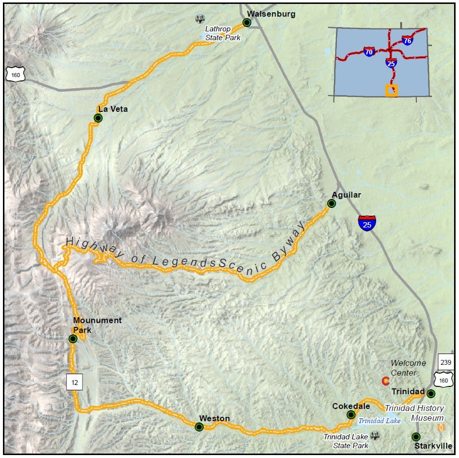
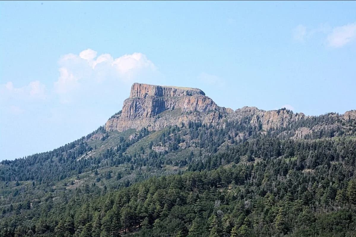
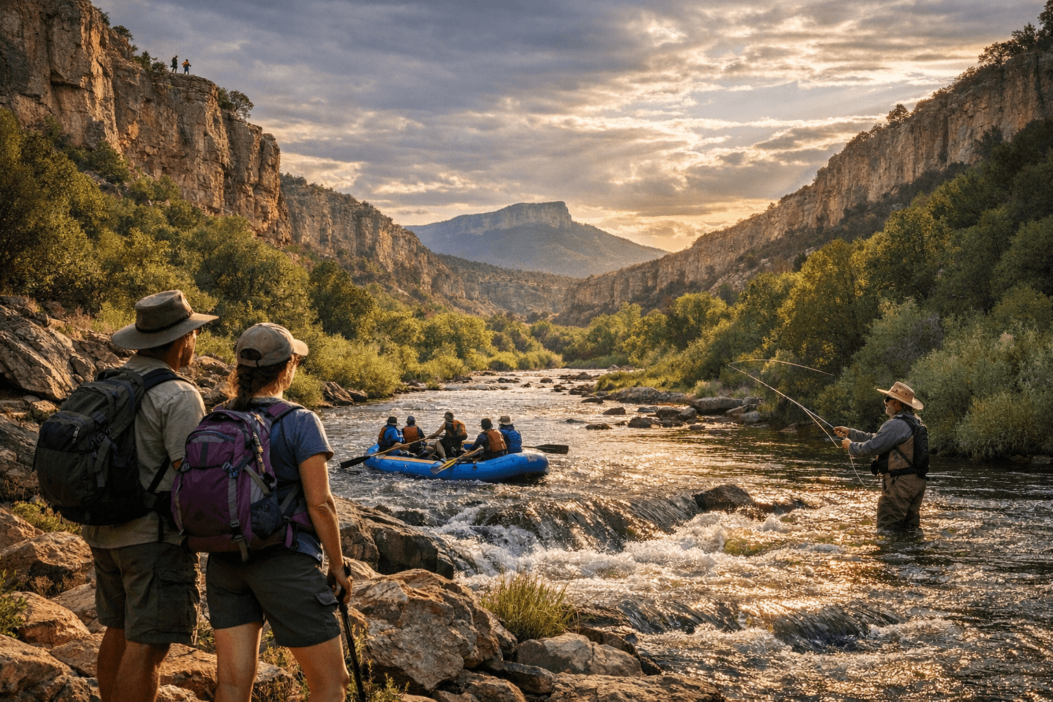
The Purgatoire River corridor, locally known as the Picketwire, threads through Las Animas County as a spine of natural, cultural, and recreational resources that shape the county’s economy and way of life. From Fishers Peak State Park just south of Trinidad to Trinidad Lake State Park and the broad canyonlands beyond, the watershed draws day visitors, supports local lodging and retail, and creates opportunities for backcountry recreation and heritage tourism.
Fishers Peak and Trinidad Lake provide trail networks, wildlife viewing, and water recreation that bring steady visitor traffic. The Purgatoire/Picketwire canyonlands further contain remarkable paleontological resources such as dinosaur tracks, along with historic ranch sites and former mining communities. Those features provide hiking, horseback riding, and multi-day backcountry experiences on nearby public lands and complement Santa Fe Trail-related heritage stops scattered across the watershed.
Local economic impact is tangible across small businesses that depend on outdoor visitation. Guide services, outfitters, restaurants, and lodging see seasonal spending that supports employment and tax revenue. At the same time, that visitation raises questions about access, stewardship, and who bears the costs of managing increased use. Ranchlands and private inholdings that border public parcels confront recurring issues around trespass, water use, and trail impacts, while county and state agencies work to balance public access with protection of cultural and natural resources.
Public health and safety considerations are integral to the corridor’s management. Desert hiking safety, water availability, and rapidly changing seasonal weather place responsibility on visitors to prepare and on local emergency responders to respond when incidents occur. Peak visitation can strain volunteer emergency services and small clinics, underscoring the need for clear guidance, preventative messaging, and coordinated response plans.
County land managers, state park staff, federal agencies including the Bureau of Land Management and U.S. Forest Service, and regional tourism organizations coordinate on signage, visitor services, and stewardship messaging. Practical advice for residents and visitors includes checking park and state forest or grassland pages for current access rules, trail closures, and guided-tour availability before setting out.
Long-term resilience in Las Animas County will depend on policies that invest in stewardship, equitable access, and infrastructure that shares management burdens fairly between public agencies, private landowners, and the tourism economy. Protecting the river corridor’s scientific and cultural assets while sustaining the livelihoods that depend on them will require continued collaboration, clear public-safety planning, and attention to the needs of local communities who steward these lands.
Sources:
Know something we missed? Have a correction or additional information?
Submit a Tip