Record 54-degree January high in Coeur d’Alene prompts concern
Coeur d’Alene reached 54 degrees on Jan. 13, breaking a 1945 record; low mountain snowpack raises local water supply concerns and could affect winter recreation.

Coeur d’Alene recorded an unseasonably warm high of 54 degrees on Jan. 13, surpassing the previous record-high of 52 degrees set in 1945. The 2-degree margin is notable for mid-January and marks one of the warmest starts to winter in recent local memory.
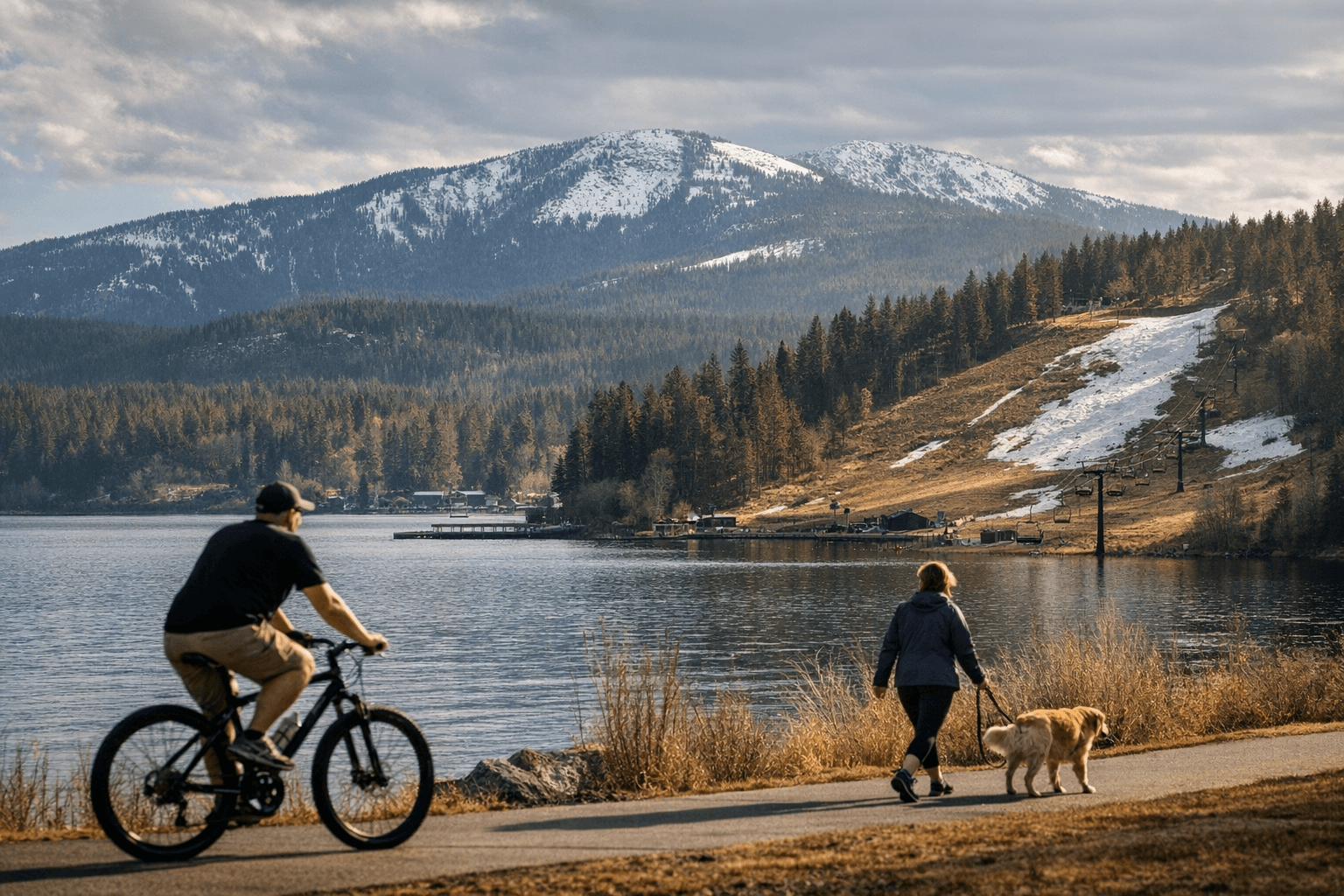
Climatologists point to a persistent high-pressure ridge over the region as the primary driver of the warmth. That same weather pattern kept skies clear and temperatures elevated across northern Idaho, but it has also contributed to below-normal mountain snow accumulation. Local and regional snowpack measurements remain well below historical averages for this time of year, raising fresh concerns for Kootenai County’s water outlook.
Snowpack in the surrounding watershed feeds summer streamflow, irrigation, municipal supplies and late-season recreation. With levels currently below normal, water managers and farmers in the county are watching conditions closely for potential impacts later in the year. Reduced snowpack can lower summer reservoir inflows and constrain water availability for agriculture and municipal use if drier conditions persist into spring and summer.
Residents responded to the rare January warmth by spending more time outdoors than usual. Parks, waterfront areas and neighborhood trails saw higher foot traffic as people took advantage of mild conditions. While the temporary reprieve was welcome for walkers and those avoiding winter storms, the underlying hydrological implications are less welcome because they may influence water resource planning months from now.
Forecasts suggest the current pattern will not hold indefinitely. Forecasters expect colder weather to return later this month, which could bring more typical winter temperatures and possible precipitation. However, a single cold spell would not erase the consequences of a season with long stretches of warmth and shallow snowpack.
For Kootenai County residents, the immediate takeaway is practical: enjoy the mild weather but keep an eye on seasonal forecasts and local water agency updates. Municipal utilities and irrigation districts will likely monitor streamflow projections and may issue guidance if conditions deteriorate. Over the longer term, repeated winter warmth and low snowpack trends will influence reservoir management, recreation economies and local planning. The next few weeks of winter weather will be important in determining whether this January anomaly is a brief interruption or part of a broader seasonal shift.
Sources:
Know something we missed? Have a correction or additional information?
Submit a Tip