Seminole County cycling routes, top loops, connectors and tips
Discover Seminole County's best cycling loops, surfaces, safety tips and downloadable route files to plan rides for fitness, family outings and bike-commuting.
This guide (updated Jan. 13, 2026) curates rider favorites and practical route details for Seminole County year‑round. It focuses on usable route information, trail connections and safety so residents can plan rides with confidence.
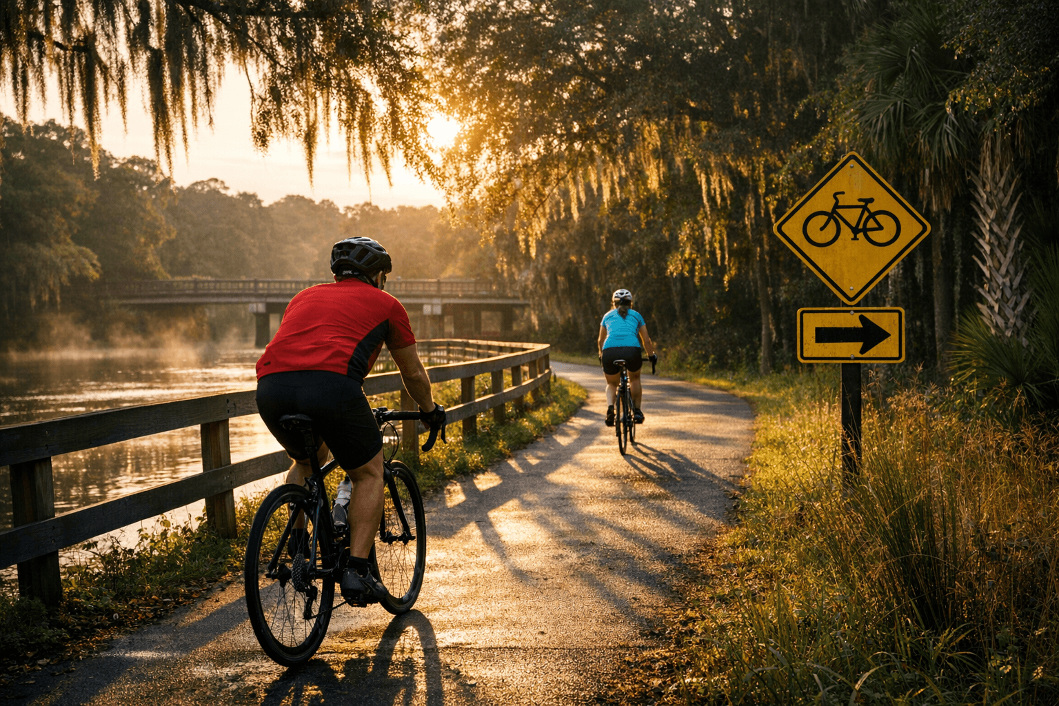
1. Gemini Springs loop via the Cross Seminole Trail / Rail Trail
Gemini Springs loop is a moderate paved circuit that mixes fitness riding and sightseeing, centered on the park's spring-fed scenery. The route follows the Cross Seminole Trail/Rail Trail alignment and is primarily smooth pavement, making it suitable for hybrid and road bikes while still offering shaded stretches. For local riders this loop is a reliable training staple and a visible draw for weekend visitors, supporting nearby small businesses that benefit from park traffic. Expect steady use during peak hours; consider riding off-peak if you want a quieter spin.
2. Lake Jesup Conservation Area to Gee Creek Bridge loop via Cross Seminole Trail
This loop links conservation lands and wetlands, providing long scenic stretches along Lake Jesup and Gee Creek Bridge that highlight Seminole's natural assets. Surface conditions are mainly paved trail with occasional boardwalks or viewing platforms in conservation zones; seasonal wet conditions can change the feel of the ride, so check trail updates before heading out. The route serves both recreational cyclists and nature observers, increasing awareness of local habitats and encouraging stewardship of wetlands. Riders should plan for slower segments to enjoy viewpoints and to yield to pedestrians and wildlife.
3. Cranes Roost Park family routes and neighborhood connectors in Altamonte Springs, Lake Mary and Oviedo
Short family-friendly loops around Cranes Roost Park and neighborhood connector streets in Lake Mary and Oviedo prioritize accessibility and low-stress riding for parents and children. These routes are typically short, flat and paved, with frequent access points to parks, playgrounds and public facilities, ideal for after-school rides or weekend family outings. Neighborhood connectors play a critical role in linking homes to schools and parks, reducing short car trips and inviting more families to bike for errands and recreation. Local events and casual group rides often use these circuits as safe starting points for new riders.
4. Multi-use trail connections to Sanford, Longwood and Winter Springs
Cross Seminole Trail is the spine for combining regional greenways and on-road connectors that extend rides to Sanford, Longwood and Winter Springs, enabling longer day rides and functional trips across the county. These connections mix paved multi-use path segments with signed on-road connectors; route planning should account for short sections of mixed traffic and signalized intersections. The network effect increases mobility options for commuters and recreational cyclists, linking downtown destinations, parks and commercial corridors. Understanding where off-trail connectors are required helps riders choose appropriate bikes and confidence levels.
5. Practical route information: distances, difficulty and surface notes
The guide compiles per-route distances, recommended difficulty levels and surface descriptions so riders can match routes to ability, equipment and goals. Difficulty ratings consider distance, expected traffic, and technical demands rather than raw elevation numbers; surface notes indicate paved trail, boardwalk, or roadway and flag segments where road riding is necessary. Having those specifics upfront reduces surprises and makes group planning easier, particularly for families, new riders, and riders training for longer efforts. Check the route summary before you go to pick a ride that fits time, fitness and gear.
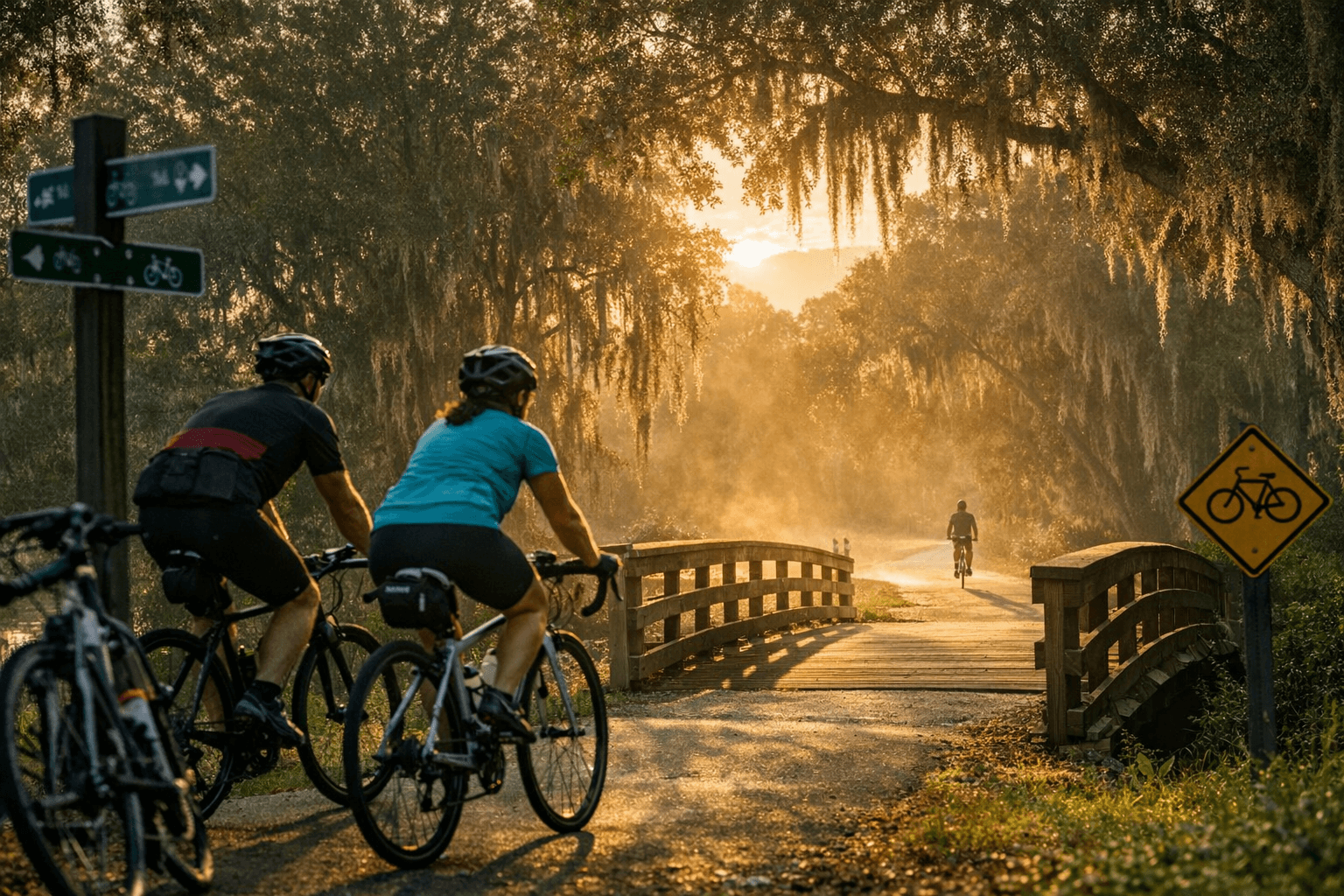
6. Downloadable GPX and turn-by-turn route files, elevation profiles and user photos
Each highlighted route includes downloadable GPX files and turn-by-turn information you can load into bike computers and smartphone navigation apps, along with elevation profiles and community-submitted photos. GPX files let riders follow precise routes and avoid getting lost at trail junctions; elevation profiles provide a quick sense of effort and help time rides. User photos give an on-the-ground preview of trail surfaces, signage and parking options so you can decide which route fits your group. These resources make planning efficient and reduce the friction of exploring new segments.
7. Safety, etiquette and seasonal considerations
Safe riding depends on preparation, situational awareness and common-sense etiquette across multi-use corridors. • Wear a helmet and use lights/reflectors for low-light conditions. • Carry water, basic repair tools and a charged phone. • Communicate with clear hand signals and call out “on your left” when passing pedestrians. Seasonal factors, rainy periods, high winds or standing water, affect trail conditions and visibility; check local trail updates before riding and be prepared to alter plans if conditions are poor. Respecting other users keeps trails welcoming and reduces conflict.
8. How trails connect to parks and transit nodes, and local impact
Trails tie directly into Seminole parks such as Gemini Springs, Cranes Roost Park and conservation areas around Lake Jesup, creating multimodal destinations where rides begin, end or pause for amenities. Those park connections support recreational economies, encourage active transportation to events, and make transit-linked trips more practical when combined with bike racks and park parking. For residents, improved trail connectivity means better access to green space, more options for short errands and strengthened civic value for public land investments. Planning that preserves safe, continuous links between trails, parks and town centers amplifies these community benefits.
Practical wisdom: plan your ride with the downloadable GPX and surface notes, pick a loop that matches your group's comfort, and carry basic safety gear, then share route photos and condition notes to help other Seminole riders keep routes safe and enjoyable.
Sources:
Know something we missed? Have a correction or additional information?
Submit a Tip