Severe Frisco Storm With Hail, Lightning Diverts Plane Near Collin County Airports
An EF-0 tornado with estimated 85 mph winds struck near UNT Frisco, tossing a parked Hyundai, while video showed lightning and a plane diverting as hail and storms moved through Prosper and McKinney.

An EF-0 tornado with maximum winds estimated at 85 mph was confirmed near the University of North Texas Frisco campus on March 7, 2026, after a National Weather Service damage survey found a path less than a quarter mile and only minor damage, including uprooted trees. The survey followed social-media video that, at the same time, showed vivid lightning and footage of a plane diverting from the storm as cells moved over Frisco.
The storm complex that produced the brief tornado also yielded widely varying hail reports across Denton and Collin counties. The National Weather Service in Fort Worth, cited by the Fort Worth Star-Telegram, listed the largest hailstones as ranging from about 1.5 to 3 inches in diameter in towns including Argyle, Bartonville, Corinth, Double Oak, Frisco, Highland Village, Lake Dallas, Lincoln Park, Prosper, Roanoke and Trophy Club. Local live updates captured smaller hail at particular moments: an intensifying thunderstorm over Frisco produced near quarter-sized hail while a Fox4 live blog noted quarter-sized hail south of the DFW metroplex at 7:45 p.m.
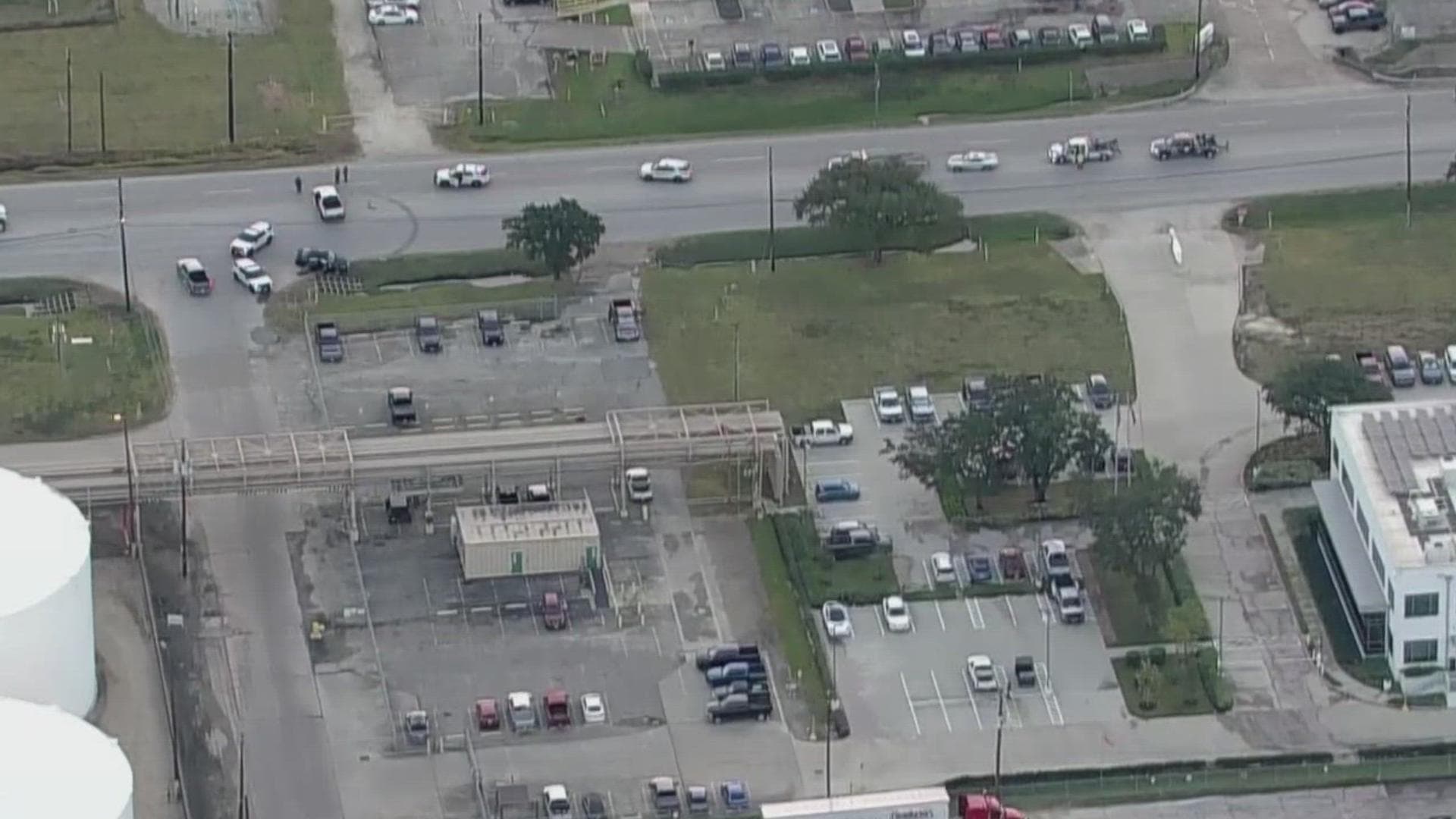
Fox4’s live reporting documented the operational watch and county warnings that accompanied the event. “4:40 p.m.: Severe Thunderstorm Watch issued — The National Weather service issued a Severe Thunderstorm Watch for many parts of North Texas from 4:40 p.m. to 11 p.m. on Wednesday afternoon,” the Fox4 live blog stated, listing Collin County among the affected counties. Fox4 also relayed radar indications of nickel-to-quarter-sized hail between Grandview and Rio Vista along FM 916 and FM 4 and posted a viewer image of an “intense supercell seen above Rockwall.”
Human impact was concentrated at the UNT Frisco campus, where a storm-chaser’s Facebook video and photos appeared to show a car that “appeared to have been picked up and dropped in a parking lot,” according to reporting tied to the NWS observations. Vehicle owner Noel Hernandez told WFAA in Spanish, “When my coworker looked out, the car was tossed across the lot.” The Hyundai’s roof was caved in, the back windshield shattered, and the front and rear bumpers were destroyed; no one was inside the car. Frisco police responded to the report but were assisting other areas that received damage.
Original video shared online showed a plane diverting amid the vivid lightning and hail as the storm tracked north through Prosper and McKinney, illustrating impacts near Collin County airports even though no specific airline or flight number was released. The National Weather Service shared a photo of uprooted trees as part of its damage survey and confirmed that no injuries were reported from the event.
Forecasters warned the threat was not limited to a single night. Fox4’s forecast briefing said, “Expect a lull in activity for much of Thursday and Friday, with only scattered showers in the forecast. Storm coverage and intensity will increase significantly Friday night as a stronger cold front moves into the region, bringing another round of severe weather,” and added, “Thunderstorm activity will intensify Friday, with large hail, damaging winds and a few tornadoes possible across North Texas.” The NWS survey and local storm reports will guide cleanup and any further assessments of airport and infrastructure impacts in Collin County.
Know something we missed? Have a correction or additional information?
Submit a Tip