Severe storms, hail and flooding threaten central U.S. this weekend
Hail, tornadoes and flash flooding are pressing from Texas to the Ohio Valley, while Louisiana faces squalls and rising water on low-lying roads.
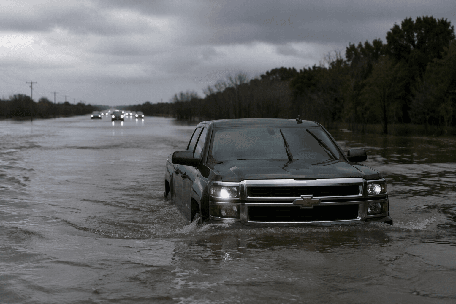
Severe thunderstorms are sweeping across a broad stretch of the central U.S., with the National Weather Service warning of large hail, damaging winds and isolated tornadoes through the weekend. The Weather Prediction Center said storms carrying heavy to excessive rainfall are moving from Texas into the mid-Mississippi Valley, raising the threat of flash flooding as multiple rounds of rain and thunderstorms continue through Monday.
The hardest-hit corridor is centered on parts of the eastern central Plains and the western Ohio Valley, where the Weather Prediction Center highlighted a Slight Risk of excessive rainfall. That means the main hazards are not limited to one round of storms. Hail can damage roofs and vehicles, wind can bring down trees and power lines, and repeated downpours can turn creeks, underpasses and urban drainage systems into flash-flood trouble spots. Farther south, Louisiana is facing its own sharp threat from a surface trough drifting north from the central Gulf.
The National Weather Service Forecast Office in New Orleans/Baton Rouge warned June 6 that the system would bring squalls of heavy rain and storms into Louisiana, with localized flooding especially likely on low-lying roadways. In a state where drainage can fail quickly under repeated bursts of rain, that warning puts overnight travel and the morning commute at risk, particularly where water pools on roads that look passable until it is too late. Virginia and Pennsylvania are also in the broad path of severe weather, a reminder that the system is not confined to one region.

The scale of the warning network matters here. NOAA says the National Weather Service operates 122 weather forecast offices with nearly 4,900 employees, a nationwide system built to track fast-changing storms like this one. The timing also overlaps with the start of the 2026 Atlantic hurricane season, which began June 1 and runs through November 30. NOAA’s outlook calls for a 55% chance of a below-normal season, with 8 to 14 named storms, 3 to 6 hurricanes and 1 to 3 major hurricanes, but a quieter hurricane season does not reduce the danger from inland severe storms and flooding.
Virginia’s history shows how costly those inland threats can be. NOAA’s billion-dollar disaster database lists 116 confirmed weather and climate disasters in the state from 1980 through 2024, including 53 severe storm events and 23 tropical cyclone events. This weekend’s setup is another reminder that the most expensive weather in the U.S. often arrives far from the coast, in the form of hail, wind, rising water and widespread disruption.
This article was produced by Prism’s automated news system from verified source data, official records, and press releases, then run through automated quality and moderation checks before publishing. The system is built and supervised by the people who set the standards it runs under. Read our full AI policy.
Did this article answer your question?