Showers, Isolated Thunderstorms Hit Yuma County Including Gila Mountains
Showers and isolated thunderstorms hit Eastern Yuma County and the Gila Mountains Monday, bringing measurable rain and a 50% chance of more storms by evening.
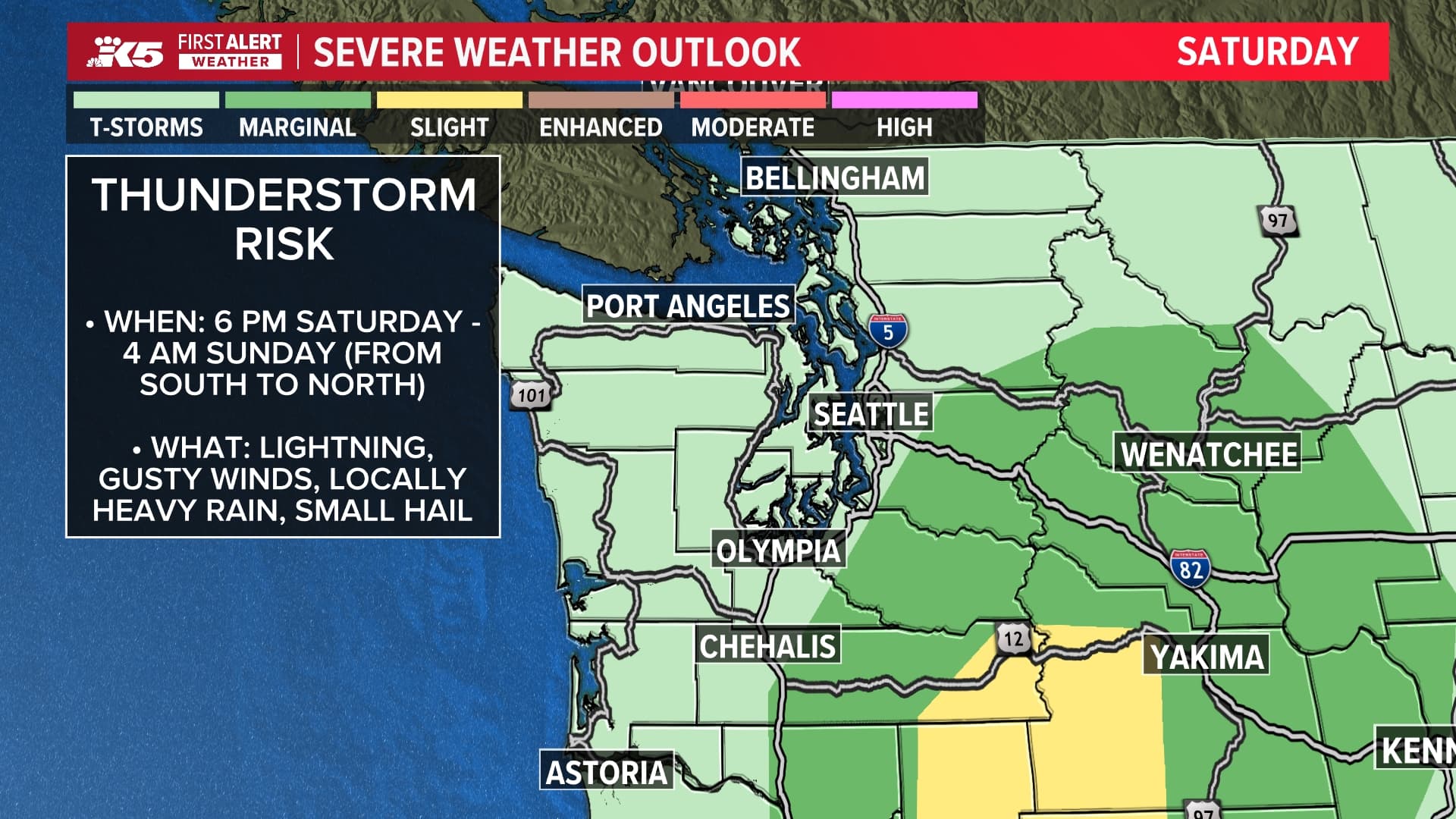
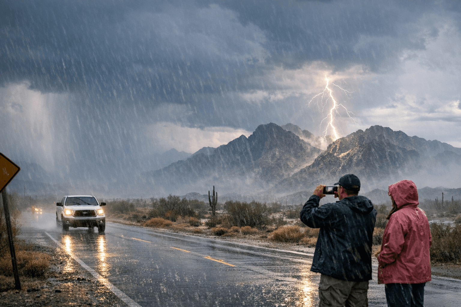
Showers and isolated thunderstorms swept across parts of Yuma County Monday afternoon, including the Gila Mountains, prompting the National Weather Service to warn of brief heavy rain, gusty winds and lightning. KYMA-TV issued a Weather Authority First Alert for the Yuma area as storms developed in the eastern part of the county.
"As of this afternoon, some showers and isolated storms have developed in Eastern Yuma County," KYMA's local forecaster reported. "Brief heavy rain, gusty winds, and lightning are possible." The station's alert carried a straightforward message: "A Weather Authority FIRST ALERT is in effect for today just for us to stay alert and prepared if any thunderstorms pop-up in our area."
The storm activity did produce results on the ground, even if modest. "Today's shower activity did bring some measurable rain in parts of Yuma County," KYMA reported. "It was very light, but hey, it was something." No specific precipitation totals were recorded, and no reports of storm damage, flooding or road closures emerged from Monday's activity.
Fox Weather's localized forecast for Yuma's 85369 ZIP code put the day's overall rain probability at 50%, with isolated thunderstorm chances climbing to 31% by 5 p.m. and 32% by 6 p.m. Temperatures held at 71 degrees through the late afternoon before dropping to 67 degrees by 7 p.m., when the forecast shifted to scattered thunderstorms at the same 32% probability. The daytime high reached 72 degrees, while Monday night was expected to bring a low of 53 degrees with a stray shower or thunderstorm still possible under partly cloudy skies.
The system driving the unsettled weather is a cut-off low-pressure system that moved from the Baja Peninsula into Arizona, according to AZFamily, which declared a statewide First Alert Weather Day. That same system was expected to push rain chances into the Phoenix Valley by evening and overnight, with a slight chance of lingering showers Tuesday morning before departing the region during the day.
KYMA noted temperatures had been running cooler than normal to start the week, with a further cooldown expected into Monday evening. The cool stretch, however, is poised to be short-lived. "After this system moves out by midweek, that only means a ridge of high pressure is on its way to bring us warmer and drier weather," KYMA's forecaster said. "And I am tracking a pretty big unseasonable warm-up ahead.
Know something we missed? Have a correction or additional information?
Submit a Tip