Storms ease in New York, but flash flooding risks remain
Cleaner, less humid air started moving in, but flash-flood threats stayed live as thunderstorms, strong winds and a New Jersey tornado watch lingered.

Storms pulled away from New York Saturday, and cleaner, less humid air started moving in, but flash-flood risks still hung over parts of the city and New Jersey as thunderstorms and strong winds continued to sweep the region. New Yorkers had already spent days under heavy smoke and torrid temperatures before the weather shifted again into downpours.
Governor Kathy Hochul’s office said a wildfire smoke plume was expected to affect air quality statewide after conditions improved Friday afternoon. That left the region with a rapid sequence of climate-linked stresses: smoke in the air, heat earlier in the week, then fast-moving storms that could dump heavy rain in a short period.
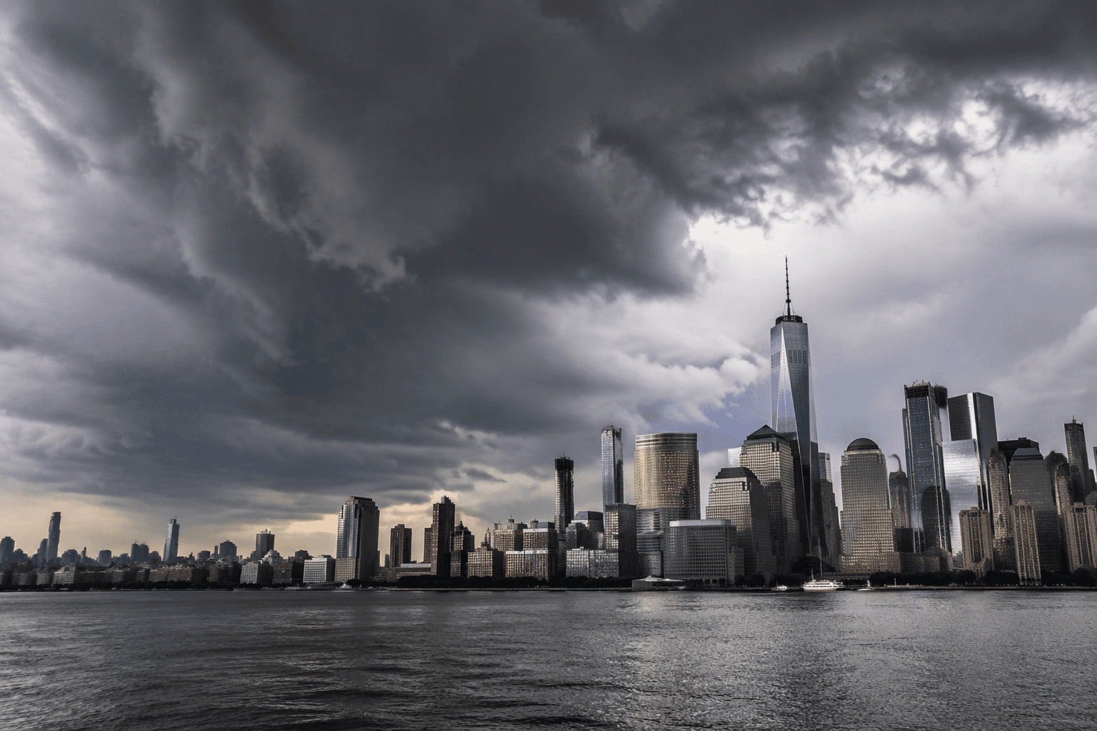
The National Weather Service office in New York had already been warning of flash flooding across the New York City metro. NBC New York said a tornado watch was issued for New Jersey while flash flooding persisted, and FOX 5 New York said storm warnings were in place for Saturday, July 18. The New York Times described thunderstorms, flooding and strong winds sweeping the Northeast, showing how the same system spread different hazards across a crowded corridor of New York and New Jersey.
The public health burden was just as immediate as the weather hazard. Smoke can worsen breathing conditions across the state, while storm-driven humidity and rainfall can strain how quickly officials get warnings out and how residents respond. In this case, the message from state and federal forecasters moved in step with the conditions: air quality was expected to improve as the storms moved out, but water risk remained active even as the sky began to clear.
The flood threat also fit a regional pattern that has produced sudden, localized damage before. The National Weather Service’s historic flooding page says Islip, on Long Island, set a New York State 24-hour precipitation record of 13.57 inches during August 12-13, 2014. In a separate July 31, 2025 flash-flood event, storms dumped five inches of rain in Queens, a reminder that a brief burst can still overwhelm streets and drainage even after the worst smoke and wind begin to ease.
This article was produced by Prism’s automated news system from verified source data, official records, and press releases, then run through automated quality and moderation checks before publishing. The system is built and supervised by the people who set the standards it runs under. Read our full AI policy.
Did this article answer your question?