Utah snowpack remains thin despite early January storm gains
USDA water outlook shows many SNOTEL sites at record-low snow water equivalent. Summit County could see tighter spring runoff and pressures on reservoirs and local water supplies.

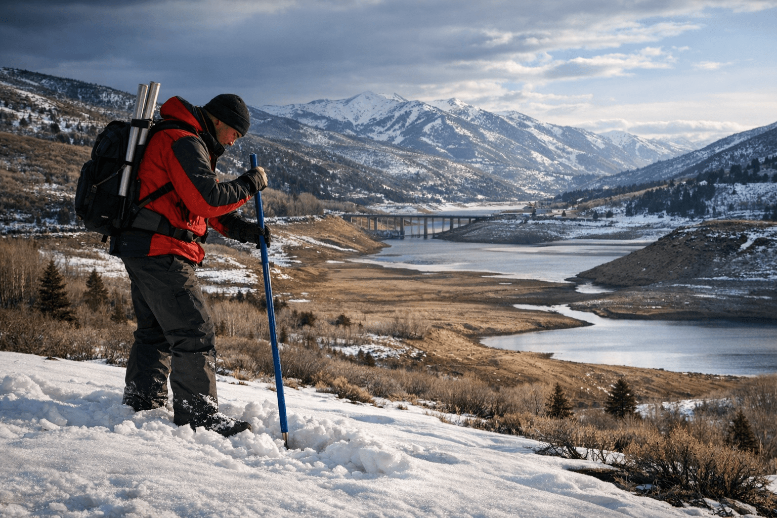
A federal water supply outlook using Jan. 1 data found Utah's snowpack remains unusually low in places despite early January storms that boosted statewide totals. The report identified 20 SNOTEL monitoring sites with record-low snow water equivalent and eight additional sites registering their second-worst conditions on record, underscoring persistent deficits as the critical runoff season approaches.
Statewide snow water equivalent rose from about 56 percent of normal to roughly 75 percent of normal in early January after a series of warm storms. But the report warned that in many basins snow is shallow and unusually dense, a condition that stores less water per inch of snow and can blunt spring runoff volumes. Soil moisture statewide was reported as relatively high, which can improve runoff efficiency, but reservoir storage remained a concern: reservoirs across Utah were about 62 percent full and down roughly 13 percent from the prior year, with the Upper Sevier watershed especially depleted.
Regional disparities were stark. The Bear basin headwaters and some High Uintas areas showed modest improvement, while basins such as Tooele Valley–Vernon Creek and the Lower Sevier hovered near roughly 30 percent of normal. Those low basins could drive localized shortfalls in both irrigation deliveries and streamflows later this year.
For Summit County, the conditions translate into practical uncertainties. Local water systems and irrigation districts depend on mountain snowmelt to refill tanks, reservoirs, and stream channels that feed municipal supply and agricultural users. Park City and surrounding resort communities also rely on consistent snow and predictable spring runoff to support winter recreation economies and to manage reservoir operations that supply summer users. Shallow, dense snow and lower-than-normal reservoir levels increase the risk that reservoirs will not refill to typical levels, forcing water managers to weigh conservation measures or altered release schedules as the season progresses.
High soil moisture may partially offset the low snowpack by helping to convert what snow there is into runoff rather than allowing water to soak into dry soils. Still, the gap between current storage and historical norms means county and municipal water planners will be watching SNOTEL updates and streamflow forecasts closely over the next two months.
Residents and local water users can expect continued monitoring and updated outlooks from water managers as new snow and temperature patterns emerge. For now, the combination of record-low SNOTEL readings in many locations, modest storm-driven gains, and below-average reservoir storage signals a water year that could demand tighter management and greater attention to conservation in Summit County.
Sources:
Know something we missed? Have a correction or additional information?
Submit a Tip