FPV UK launches live hazard map for safer drone racing sites
FPV UK’s live hazard map gives racers one place to check airspace, NOTAMs and hazards before a practice field becomes a wasted trip.

A race director can now screen a site in minutes instead of gambling on a field that looks open but sits inside a restriction. FPV UK’s TheDroneMap puts live airspace data, NOTAMs and drone hazard information into one free tool with no sign-in required, aimed at the practical decisions that shape club meetings, practice days and race weekends.
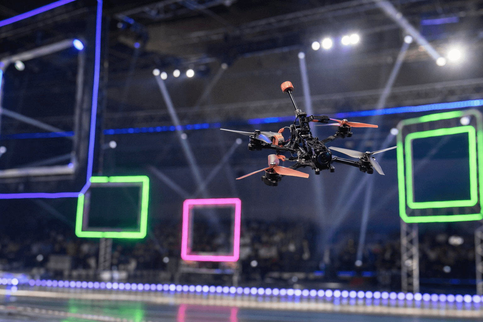
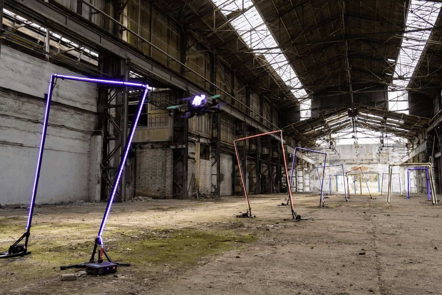
For FPV racing, that matters at the point where sport meets aviation. A club choosing a venue, a pilot lining up a flight line or a newcomer scouting a weekend session can use the same interface to spot problems before gates go up. FPV UK says the map pulls critical safety information from multiple official sources into one clear view, and that it is being updated with user-requested changes as the platform evolves.
The stakes are real. NATS says permanent UAS restrictions are published in the UK AIP Section ENR 5.1 and updated each AIRAC cycle, while temporary restrictions may appear in NOTAMs or AIP Supplements. Around protected aerodromes, Flight Restriction Zones extend to 2,000 feet above the airfield, and flying inside an FRZ without permission is illegal. The Civil Aviation Authority says permission must be obtained from an aerodrome air traffic control unit, flight information service unit or aerodrome operator before any UAS operation within the zone can take place.
That is why TheDroneMap lands as race infrastructure, not just a convenience. A club planning a weekend practice can check whether the field is viable before members travel, whether a hidden hazard breaks the flight line, or whether the site needs a different setup entirely. FPV UK says the system is smooth on desktop and mobile, and that latest AIP data comes direct from source, giving pilots a fast way to replace guesswork with a live planning check.
The launch also reflects FPV UK’s standing in the sport. The organization says it was formed in 2009, is authorised and regulated by the UK Civil Aviation Authority under UAS13529, and works with the Civil Aviation Authority, NATS, the Department for Transport, the National Police Chiefs Council and Parliament on drone matters. Drone UK says FPV UK represents more than 7,000 members, which helps explain why a free, no-login hazard map is likely to matter far beyond one club field. In a sport where one bad site choice can cancel a session before the first pack is charged, the map changes the decision before the race day even starts.
Know something we missed? Have a correction or additional information?
Submit a Tip