GISPartner, ICEYE add near-real-time satellite risk data to iMapCLOUD
GISPartner folded ICEYE’s near-real-time SAR feeds into iMapCLOUD, giving insurers and infrastructure operators live flood intelligence when static maps go stale.
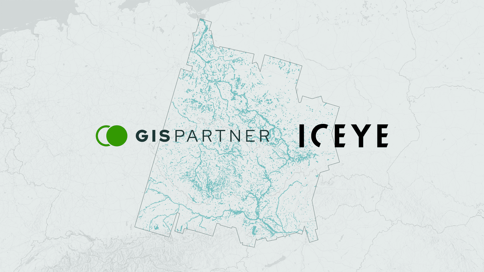
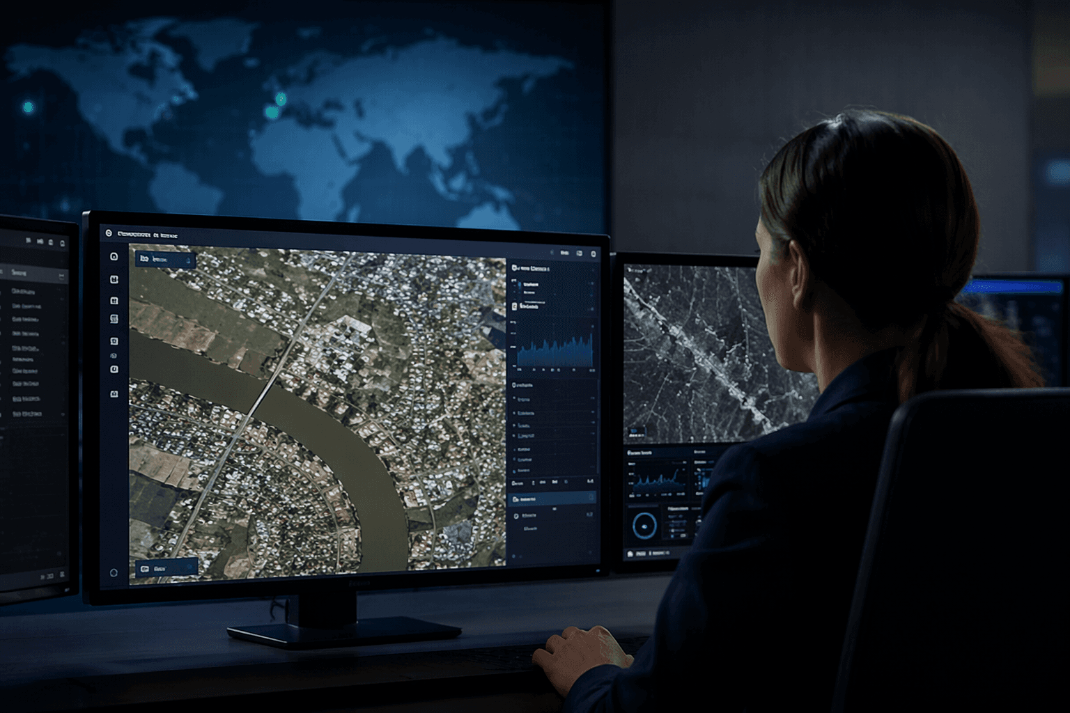
A new satellite feed is pushing GISPartner’s iMapCLOUD beyond static hazard layers and into near-real-time event intelligence. The cooperation with ICEYE gives infrastructure operators and commercial organizations a way to monitor assets, assess risk, and support operational decisions with synthetic aperture radar data that works regardless of weather or time of day.
The agreement, announced in Wrocław, Poland, on May 28, 2026, channels ICEYE imagery into GISPartner’s platform with a clear operational use case: faster exposure monitoring, sharper flood awareness, and better triage when storms cut visibility and response teams need live situational awareness. The companies said the combined tools are aimed at digital water management and flood-related monitoring, but the scope extends to energy, water, transportation, telecommunications, and insurance. For property and casualty carriers, that matters because the value is no longer just in mapping where a storm hit after the fact. It is in seeing what is changing now, while claims teams, portfolio managers, and field responders are still deciding where to go first.
ICEYE has been building the satellite side of that equation at speed. The company said its constellation has launched 70 satellites since 2018, including eight in 2026, and that it is scaling production toward an average of one satellite per week this year. On March 30, 2026, ICEYE said six new 25 cm-resolution SAR satellites were launched aboard Transporter-16 and later commissioned after communication was established. That cadence underpins the promise of frequent revisit, which is what makes near-real-time monitoring plausible rather than theoretical.
The insurance relevance is not abstract. ICEYE launched Flood Rapid Impact in July 2025 for emergency managers, energy and utility organizations, insurers, and banks, then announced a June 4, 2026 partnership with the Florida Flood Hub for Applied Research and Innovation to strengthen flood preparedness, response, recovery, and resilience through Florida’s emergency and water management agencies. ICEYE also said its flood data would be embedded in Munich Re and Risk Management Partners’ Location Risk Intelligence, where it can provide historical flood data, real-time flood-footprint monitoring, and severity forecasts up to 96 hours ahead.
The timing is hard to miss in Poland, where the September 2024 Central Europe floods produced major damage in the southwest and triggered large-scale evacuations. PERILS put the final industry loss at EUR 2.153 billion, with broader insured loss estimates running roughly from EUR 2 billion to EUR 3 billion. GISPartner and ICEYE are betting that the next layer of catastrophe response will not come from better static maps alone, but from live satellite intelligence that can slot into existing claims, underwriting, and infrastructure workflows fast enough to change the decision itself.
This article was produced by Prism’s automated news system from verified source data, official records, and press releases, then run through automated quality and moderation checks before publishing. The system is built and supervised by the people who set the standards it runs under. Read our full AI policy.
Know something we missed? Have a correction or additional information?
Submit a Tip