Mount Sneffels death identified, rescuers renew backcountry safety warning
Bret Brachman-Goldstein’s death on Mount Sneffels has sharpened a familiar warning: a solo trip plan should name the trailhead, route, return time and who calls 911 if you are late.
Mount Sneffels is still the kind of peak that punishes vague plans. After Montrose resident Bret Brachman-Goldstein was identified as the man found dead on the mountain, rescuers again pushed a simple message for San Juan backcountry travelers: write down the trailhead, intended route, destination, party members and expected return time before leaving the parking lot.
Authorities said Brachman-Goldstein was found June 11 near the summit after hikers reported the body, and investigators believed he died June 10. They believed he was running on the mountain and fell down scree, the loose, sharp rock that sheets steep slopes and can turn a descent into a fast, uncontrolled slide. Local reporting also said his body was spotted from a plane after search-and-rescue efforts began, a reminder of how quickly remote terrain can force agencies into aerial recovery work.
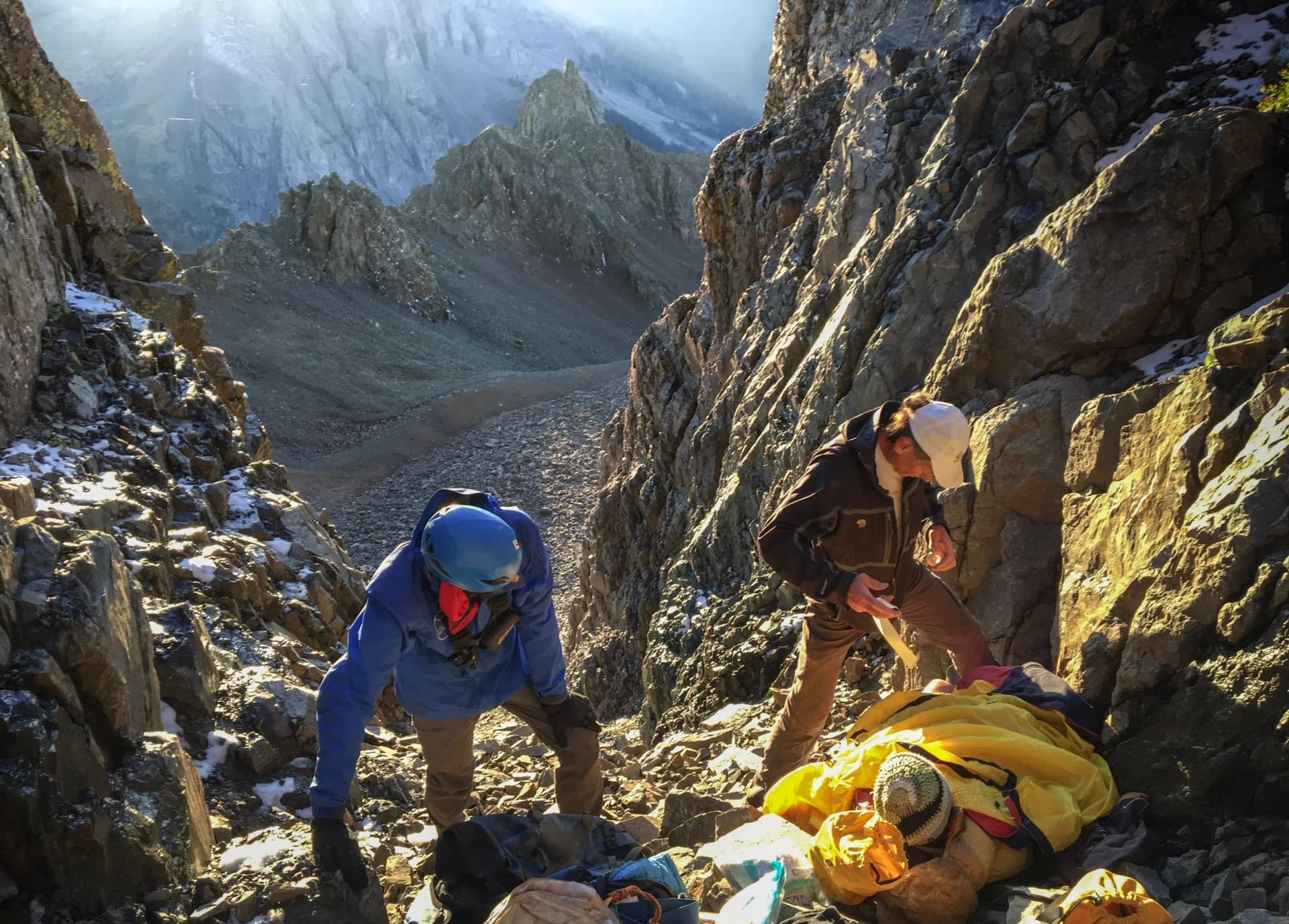
The standard route on Mount Sneffels is the Lavender Col, or South Slopes, line out of Yankee Boy Basin. Route guides describe it as roughly 6.75 miles with about 2,900 feet of gain and class 3 difficulty, but those numbers do not tell the whole story. The route climbs broad scree to Lavender Col, then steepens into a couloir where loose rock and poor footing remain the main hazards even in summer conditions.
That terrain sits inside the Mt. Sneffels Wilderness, a 16,587-acre block on the Uncompahgre National Forest near Telluride, Ridgway and Ouray. The U.S. Forest Service says the wilderness reaches 14,150 feet at the summit of Mount Sneffels, and includes only 15 miles of constructed trail, a small number that underscores how quickly hikers, climbers and runners move into remote country once they leave the trailhead.
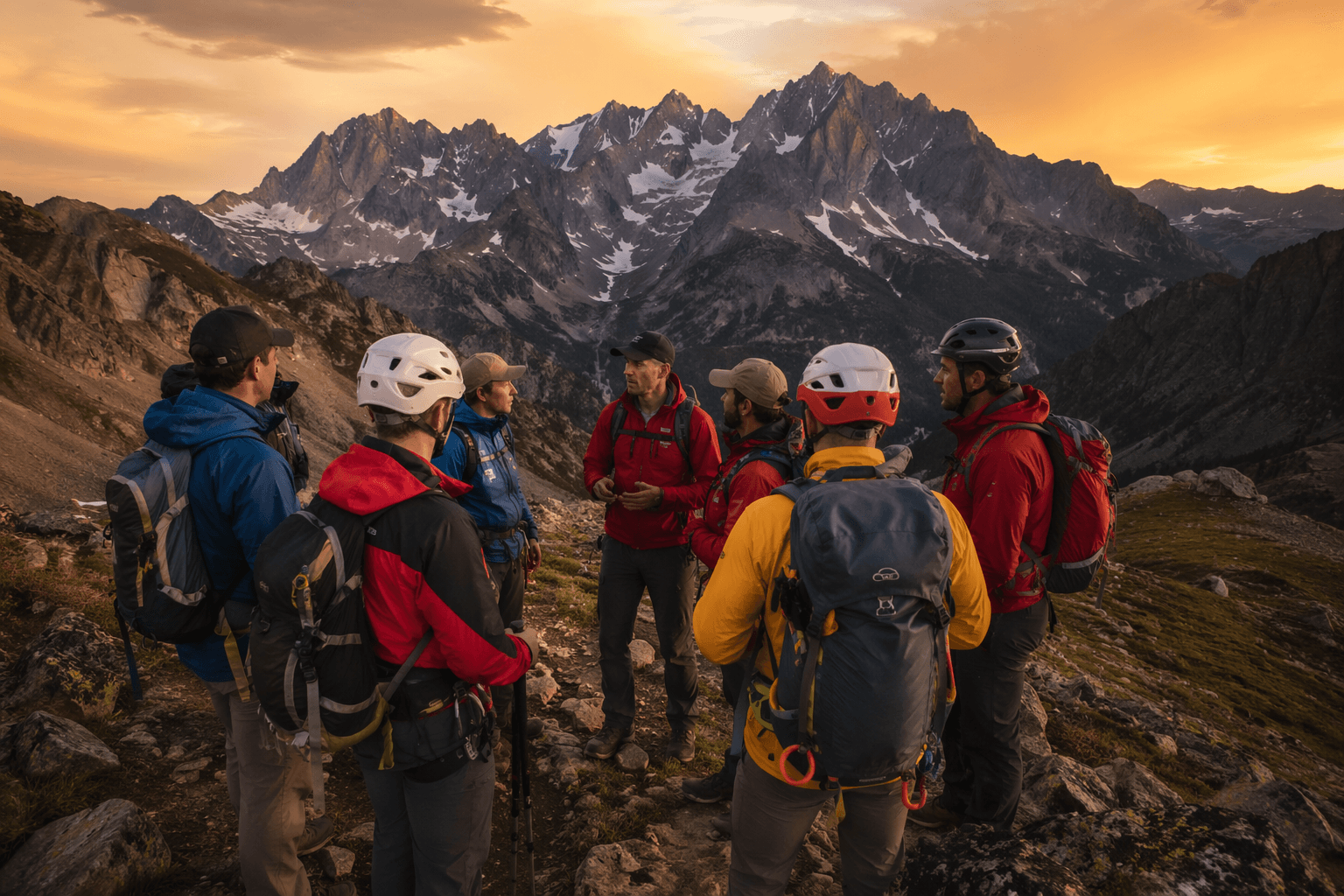
Colorado Search and Rescue says trip planning should be done for every backcountry outing, not just big ones. Its standard checklist is straightforward: tell a responsible person where you are parking, what route you intend to take, where you plan to end up, who is with you and when you expect to be back. The group warns that without an intended route, rescuers may be forced to search ten to twenty or more square miles of wilderness.
Colorado Parks and Wildlife says backcountry search and rescue is provided at no cost to the person in need. For a peak like Sneffels, where a familiar route still runs through scree, steep couloirs and high, lonely terrain, that trip plan may be the most important item in the pack.
This article was produced by Prism’s automated news system from verified source data, official records, and press releases, then run through automated quality and moderation checks before publishing. The system is built and supervised by the people who set the standards it runs under. Read our full AI policy.
Did this article answer your question?

