Telluride’s 2026 trail map warns hikers about steep, high-altitude terrain
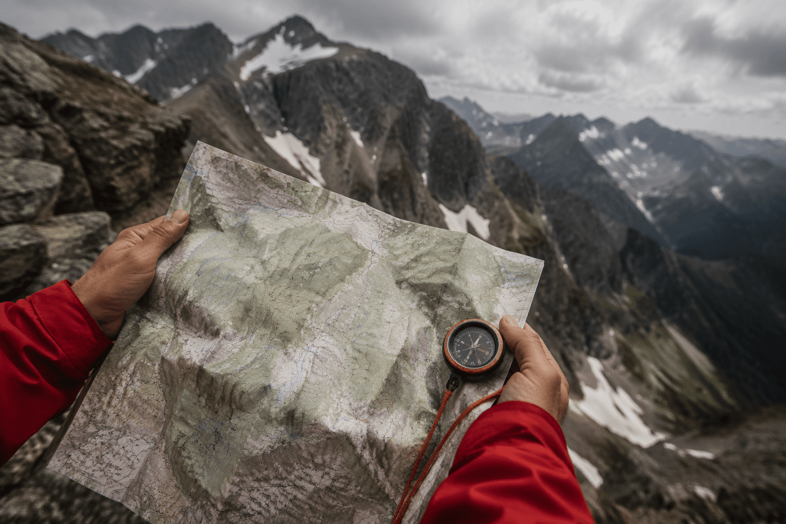
Telluride’s trail map is a planning tool, not a souvenir. It helps you match route choice, altitude and turnaround time before steep ground turns a casual day into a slog.

What the map changes before you leave town
Telluride’s 2026 summer trail map does one very practical thing: it forces you to think about altitude and steepness before you pick a trail. In a place where the scenery is dramatic and the climbs are real, that matters more than any glossy trail description. The map makes the difference clear between a quick town hike, a longer backcountry route and a lift-access outing, so you can choose something that fits your legs, your lungs and the amount of acclimation you actually have.
That is the right way to read Telluride. The town sits at 8,750 feet, Mountain Village at 9,545 feet, and the mountains around them climb to roughly 12,000 to 14,000 feet. In other words, the map is not just about where the trail goes. It is about how quickly you gain elevation, how exposed you will feel and whether you are setting yourself up for an enjoyable morning or a slow, breathless grind.
Read the warning first, then pick the trail
The most useful line on the map is also the bluntest: Telluride’s mountains are steep, rugged and high altitude. That is not brochure language, and it should not be treated like one of those polite caution boxes people ignore on their way to the overlook. Trails that look friendly on paper can feel hard once you are actually climbing at elevation, especially if you have just arrived and have not adjusted yet.
The map’s advice is straightforward for a reason. Give yourself time to acclimate. Stay hydrated. Carry extra food and warm clothing. Bring a map. Practice good trail etiquette. Be prepared for intense sun at elevation. Those are the basic tools that keep a day on Telluride dirt from becoming an early retreat back to town.
Acclimation is the hidden route choice
The Centers for Disease Control and Prevention says travelers going above 8,000 feet may be at risk for altitude illness and advises ascending gradually. That warning lines up exactly with how Telluride should be approached. If you are arriving from lower elevations, the map is your reminder not to choose a big ridge route on autopilot just because it looks close to town.
The smartest use of the map is to match the route to your first 24 to 48 hours in town. Shorter town trails are the better play if you are still adjusting. Longer climbs and higher routes make more sense after you have had time to settle in, hydrate and see how your body reacts. The same goes for turnaround timing: if the trail gains fast, build in a conservative out-and-back plan instead of assuming you will feel stronger once you are halfway up.
Town trails, backcountry routes and lift access are not the same day
Telluride’s map is valuable because it shows a trail system that is not one-size-fits-all. Town trails give you a way to get outside without committing to a major climb, while backcountry routes push you deeper into the San Juan Mountains and demand more fitness, time and judgment. Lift-access terrain sits in between, giving you a way to shorten the approach while still putting you into high country.
That distinction matters for every kind of trip. A morning walk from town might be enough if you want views without the strain. A backcountry day should be treated like a real mountain outing, not a casual hike with good photos. Lift-access trails can be a smart compromise, especially for visitors who want a bigger landscape without spending half the day grinding uphill.
Use the gondola as part of the trail plan
The gondola is one of the most useful parts of Telluride’s summer trail network because it links Telluride and Mountain Village with a free, roughly 12-minute ride. For summer 2026, it runs from May 21 through October 25, seven days a week from 6:30 a.m. to midnight. That schedule turns the gondola into more than transportation. It becomes a trail tool.
The official tourism site says the gondola provides access to hiking and biking trails in summer, which means you can use it to simplify your route choice. If you want a one-way outing, a gondola-assisted hike can cut down on climbing and help you keep your legs fresh for the descent. If you are building a day around a ride and a hike, the gondola makes it easier to combine the two without wasting time or energy on roads and shuttles. That is especially useful when your main goal is to spend more time on trail and less time managing logistics.
Know the town layout before you start
Telluride and Mountain Village are separate municipalities with their own governments, but they function like a single outdoor system once you step onto the gondola network and trail links. That is part of what makes the map so useful: it helps you orient yourself before you end up guessing which side of the mountain you are on. The town-to-town connection is not just a scenic novelty. It is the spine of summer access.
Mountain Village sits higher than Telluride, so any plan that starts there already begins with an altitude advantage and a different feel underfoot. That can be a help or a hindrance depending on how your body is handling the elevation. For some hikers, starting higher trims the day’s effort. For others, it means the first mile feels harder than expected. The map gives you the context to make that call before you commit.
The practical rule for a Telluride day
If you are new to town, treat the map like a mountain decision-making tool. Choose shorter trails first, save major climbing for after you acclimate, and use the gondola when it helps you avoid unnecessary gain. Keep water, food and warm layers with you even when the forecast looks friendly, because the elevation and exposed terrain can change the tone of a day fast.
That is the value of Telluride’s 2026 trail map: it tells you that the best hike is not always the longest one or the one with the biggest view on paper. It is the one that matches your altitude, your energy and your turnaround time. In Telluride, that simple judgment is the difference between a clean day on the mountain and a lesson you did not need.
This article was produced by Prism’s automated news system from verified source data, official records, and press releases, then run through automated quality and moderation checks before publishing. The system is built and supervised by the people who set the standards it runs under. Read our full AI policy.
Know something we missed? Have a correction or additional information?
Submit a Tip