Border Wall Map Vanishes, Raising Stakes for Southwest Public Lands
CBP pulled its Smart Wall map, cutting off the only weekly-updated view of where border barriers, roads, and cameras could hit Southwest public lands.
The missing map is not just a website problem. For anyone planning a hike, river trip, overland run, or backcountry hunt along the border, it took away the one public view that showed where Customs and Border Protection said wall, road, and surveillance projects were planned, underway, awarded, or finished.
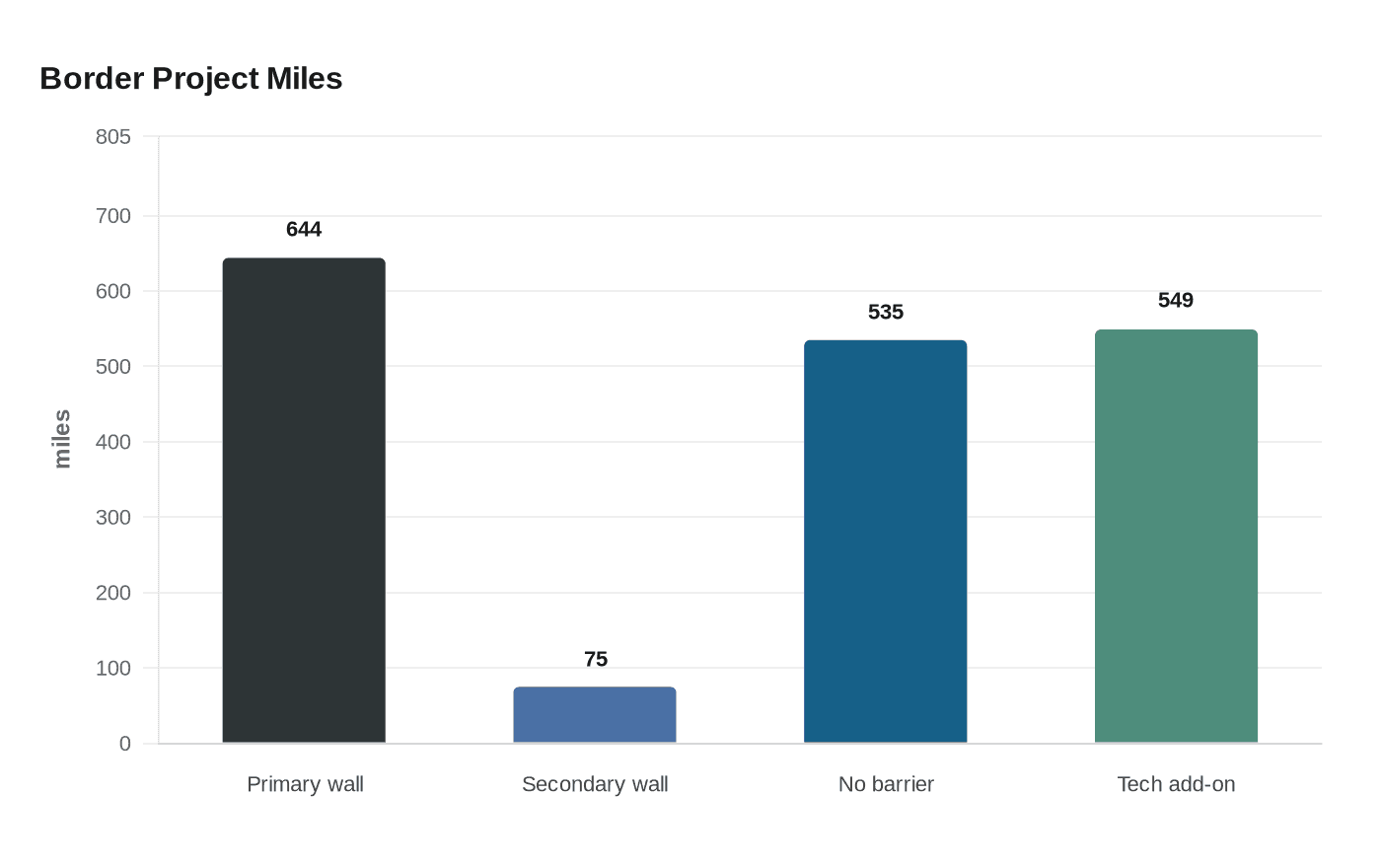
The Smart Wall Map covered the full 1,954-mile U.S.-Mexico border and had been updated weekly. Before it disappeared, travelers could compare where CBP said it had already built about 644 miles of primary wall and about 75 miles of secondary wall, where about 535 miles without barrier were supposed to rely on detection technology because of rough terrain or remoteness, and where about 549 miles of technology would be added in places that already had barrier. That mattered because a border project can change more than a line on a map. It can shift access to a trailhead, affect a scenic drive, complicate a river shuttle, or turn a quiet segment of public land into a construction zone.
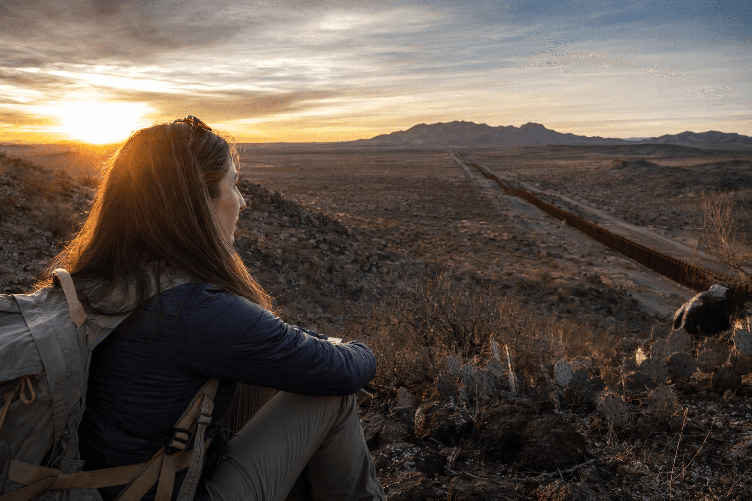
Big Bend National Park shows why the loss stings. The park draws more than 500,000 visitors a year and shares 118 miles of border with Mexico. In early March, CBP quietly removed two stretches of planned wall from the Big Bend area and moved them back to detection technology. By April 22, the map had changed again, showing four sections in or next to the park marked for wall or vehicle barriers, along with a broad corridor of technology and patrol road. Then the map vanished, leaving visitors with no easy way to see whether the next change would hit a river corridor, a desert drive, or a backcountry access point.
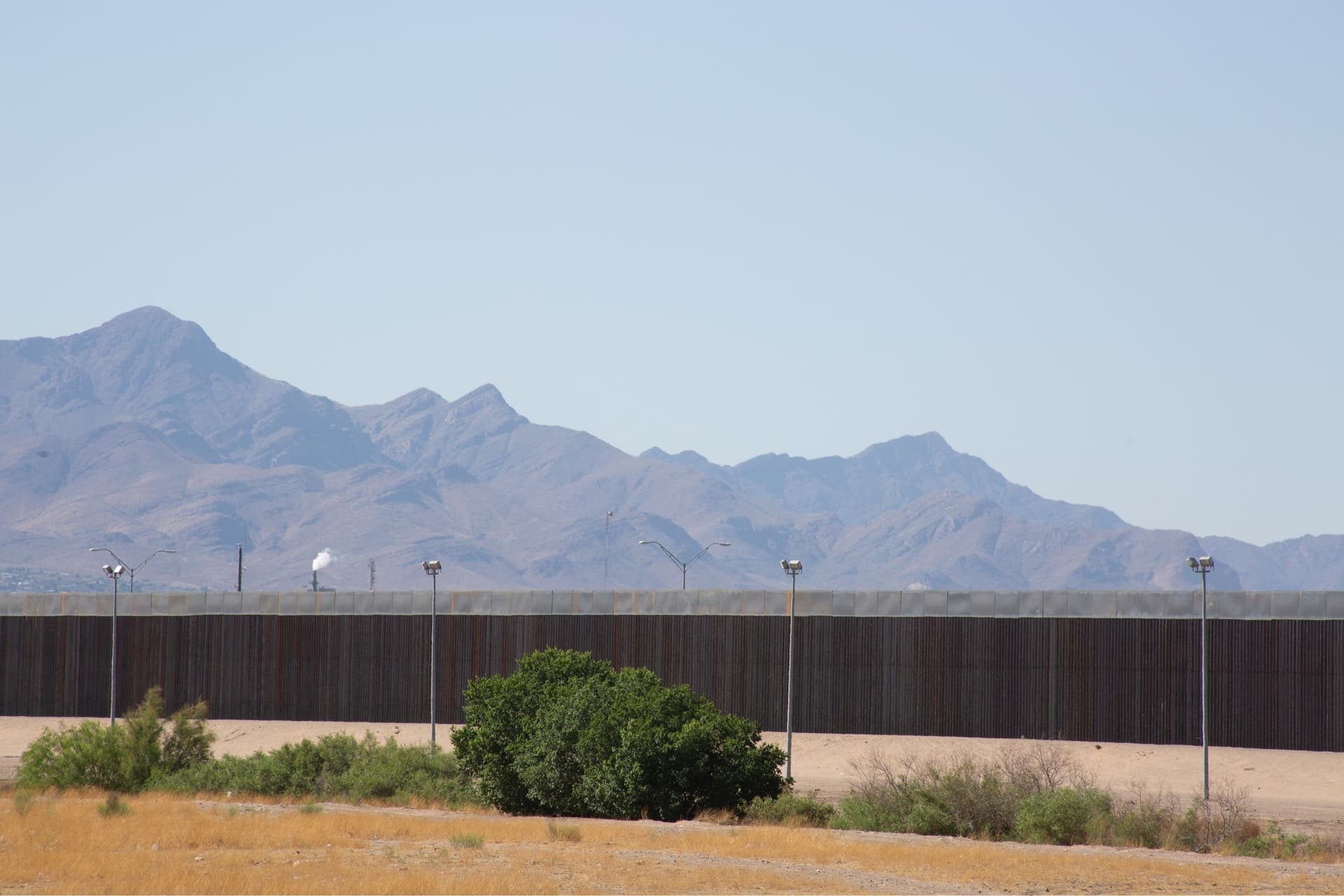
That uncertainty reaches beyond Big Bend. The National Parks Conservation Association says border-wall debates affect six parks or protected areas, including Big Bend National Park, Organ Pipe Cactus National Monument, Amistad National Recreation Area, Chamizal National Monument, Coronado National Memorial, and the Rio Grande Wild and Scenic River. The group has said existing border walls total about 650 miles and were built without environmental reviews.
CBP has said Smart Wall construction is being funded through the One Big Beautiful Bill Act, and in 2025 it said five new Smart Wall contracts totaled $3.3 billion, bringing total contract awards to $8 billion. For Southwest public-lands users, the immediate loss is simpler than the politics: the public can no longer verify, in one place, where the next barrier, road, or camera line might land before it reaches the ground.
This article was produced by Prism’s automated news system from verified source data, official records, and press releases, then run through automated quality and moderation checks before publishing. The system is built and supervised by the people who set the standards it runs under. Read our full AI policy.
Did this article answer your question?


