U.S. Forest Service secures Buck Trail corridor with 80-acre land purchase
An 80-acre buy in Montrose County keeps Buck Trail #149 open for hikers, bikers, riders and motorcyclists, locking in a key corridor southwest of Montrose.

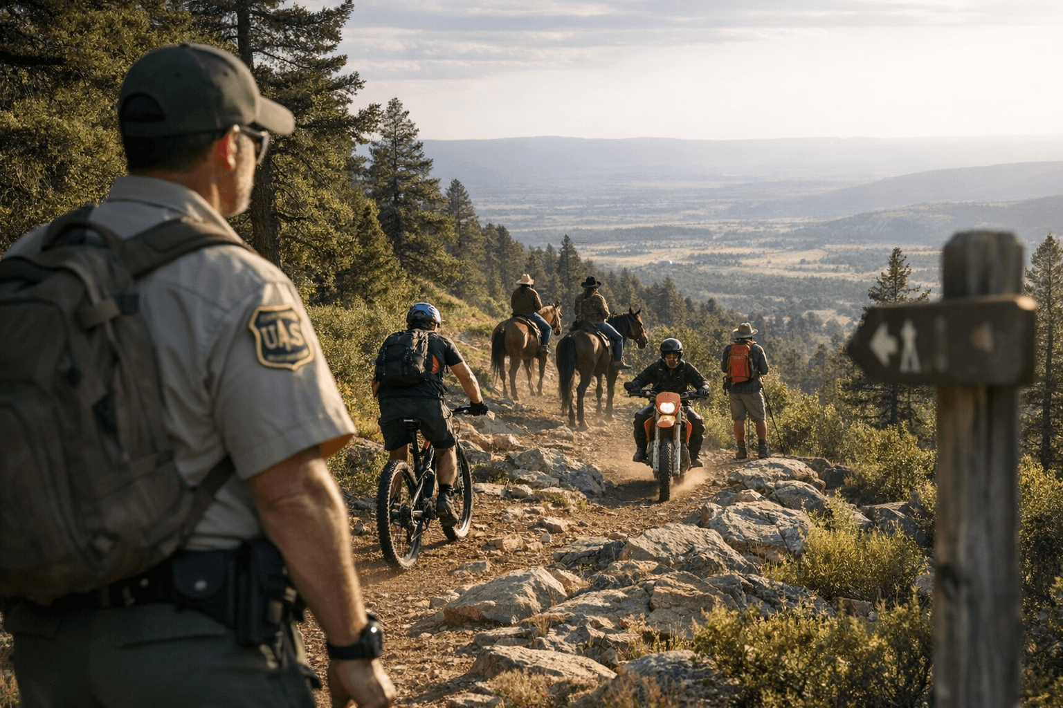
The U.S. Forest Service has secured an 80-acre piece of the Buck Trail corridor in Montrose County, a quiet but important move that helps keep Buck Trail #149 intact for hikers, bikers, horseback riders and motorcyclists southwest of Montrose.
The two parcels were purchased on April 8 from two private landowners and announced April 16. They sit about 18 miles southwest of Montrose, off Old Highway 90 at the intersection with Buck Trail, in a stretch of country where a single inholding can break up access, complicate maintenance and leave a well-used route feeling more fragmented than it should.
Buck Trail #149 begins at Forest Service Road #560 and runs to Aspen Trail #125, with the Buck Connector Trail #149.1A tying it into the Dry Creek Spur Trail #114.1A and the Dry Creek loop system. That matters on the ground. This is not just a line on a map. It is a working recreation corridor with hiking, biking, horse use and seasonal motorcycle access from July 1 to September 2, according to the Colorado trail listing. Keeping that corridor whole helps protect the continuity riders and trail users actually depend on.
Dana Gardunio, the Ouray District Ranger, said the acquisition "enhances public recreational opportunities, protects forest habitat and helps us manage the landscape as one connected system." That is the real value here. When private parcels disappear from the middle of a trail network, the Forest Service gains room to manage the edges, improve consistency and reduce the odds that access becomes a patchwork of permissions and surprises.
The land will now be managed as part of the National Forest System in line with the GMUG land management plan. That plan was approved in a final Record of Decision on June 14, 2024, replacing the prior plan that had been significantly amended in 1991. The timing matters because it shows the agency is not waiting for access problems to show up before acting on them.
The Grand Mesa, Uncompahgre and Gunnison National Forests cover about 3.2 million acres across eight counties and operate through five ranger districts, with more than 3,000 miles of trails and routes spread across the system. In that kind of landscape, an 80-acre purchase can do more for day-to-day recreation than a splashy headline ever will. Funded through the Land and Water Conservation Fund, the deal locks in a public route people actually use and keeps one more important Southwest access corridor from slipping into uncertainty.
This article was produced by Prism’s automated news system from verified source data, official records, and press releases, then run through automated quality and moderation checks before publishing. The system is built and supervised by the people who set the standards it runs under. Read our full AI policy.
Did this article answer your question?


