Buzzardroost Rock trail draws hikers to Adams County overlook
Buzzardroost Rock pairs a 4.4-mile moderate hike with Adams County's signature overlook, rare prairie habitat and a route that fits a half-day outing.

The Christian and Emma Goetz Buzzardroost Rock Trail is a 4.4-mile round trip to a protected overlook that opens straight across the Ohio Brush Creek Valley. It is the most popular trail in the Edge of Appalachia Preserve System, and the overlook is billed as “Ohio’s most spectacular view.” It is moderate in difficulty, serious enough to feel earned and manageable enough for visitors who want one of the county’s defining landscapes without making it a backcountry day.
Why Buzzardroost Rock matters here
It is a 465-acre protected area named for the turkey and black vultures often seen soaring above the rock or roosting there, and its dolomitic outcrop rises 300 feet above the valley. The setting gives you the kind of Appalachian foothill topography Adams County residents recognize immediately, with rugged woodland, prairie openings, waterfalls, giant promontories and clear streams shaping the wider Edge of Appalachia Preserve System.
The preserve system now covers over 21,000 acres in southern Ohio and is one of the most biologically diverse natural systems in the midwestern U.S. It sits in the Richard and Lucile Durrell Edge of Appalachia Preserve System, where birding, wildlife watching and native-plant viewing are part of the experience as much as the panorama.
How to get there and what the trail is like
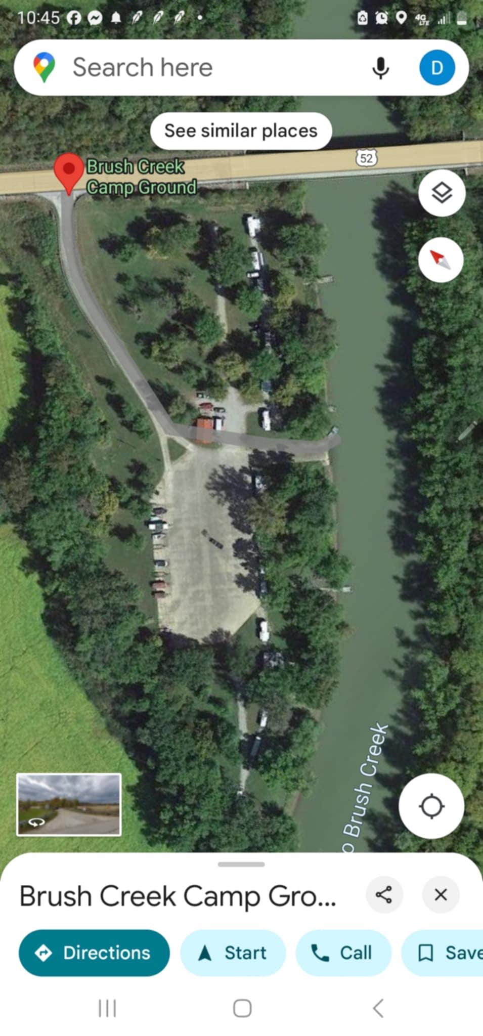
The trailhead is on a small gravel lane just west of the village of Lynx off State Route 125. If you are starting from the Creek’s Bend Visitor Information Pavilion in West Union, the route runs north on Waggoner Riffle Road for 2.3 miles to State Route 125, then east on State Route 125 for 1.3 miles before the turnoff. A small yellow sign on the right marks the turn as the road climbs the hill.
Once you reach the trail, expect a hike that is direct but not casual. The route is open year-round from dawn to dusk, with a restroom at the trailhead and an overlook parking area. That makes Buzzardroost Rock practical for a half-day outing, especially if you want to combine the hike with another Adams County stop rather than planning around a full day in the woods.

Safety and trail etiquette
Visitors are asked to stay on the boardwalk and within the overlook structure to protect the rare plant community and keep footing secure on the rocky promontory. Visitors are also asked to stay on the trail at all times, be aware of posted rules and notices, and leave dogs at home, which keeps the route simpler for families and protects the preserve.
The backbone of Buzzardroost Rock is Peebles Dolomite, formed in an ancient sea about 400 million years ago. The rock is prone to dramatic erosion, and the area around the overlook supports a globally rare limestone prairie community.
When to go for the best experience
The most rewarding visits tend to line up with the seasons when the preserve shows its range: The site is especially good for birding in spring and fall, and the overlook changes character with each season. Autumn is especially strong for color in the broader Edge of Appalachia hills and forests, while clear days give the Ohio Brush Creek Valley its longest reach.
If you want the quietest feel, early in the day is the best bet. If you want the broadest landscape, late-day light across the limestone and valley can be especially sharp.

What to pair it with for a half-day outing
Buzzardroost Rock fits neatly into a broader Adams County circuit. Serpent Mound, the county’s internationally known National Historic Landmark built by American Indian cultures of Ohio, gives you a second place-based landmark with deep regional significance. If you want to stay inside the Edge of Appalachia network, the preserve system also includes the Charles A. Eulett Wilderness Trail, the E. Lucy Braun Lynx Prairie, the Joan Jones Portman Trail and Rieveschl Overlook, and the Helen C. Black Trail at the John and Marion Becker Cedar Falls Preserve.
The original Lynx Prairie parcel was purchased in 1959 and became the first land acquired by the newly formed Ohio Chapter of The Nature Conservancy. The Eulett Center and Nature Preserve were designated a National Natural Landmark in 1974, and the National Park Service lists Buzzardroost Rock-Lynx Prairie-The Wilderness as a National Natural Landmark in Adams County.
Why the preserve still matters to Adams County
The outcrop provides habitat for rare prairie plants, including plains muhlenbergia grass, which is endangered in Ohio. The only remaining Ohio populations of the endangered Allegheny woodrat occur in Adams County at the Edge of Appalachia and adjoining properties.
Ty Hickey, who grew up on Ohio Brush Creek in Adams County, put the local case plainly: “It’s important to have trails for people to get outside and be in nature.” He added, “This has motivated me as an adult to get out and do something. Whether it is bringing awareness or simply cleaning up trash. I want everyone to understand just how dependent we are on the natural environment.”
This article was produced by Prism’s automated news system from verified source data, official records, and press releases, then run through automated quality and moderation checks before publishing. The system is built and supervised by the people who set the standards it runs under. Read our full AI policy.
Did this article answer your question?